Neo 2 Apr 11, 2026
Neo 2 for Remote Vineyard Surveying: A Technical Review
Remote vineyard work exposes a drone faster than almost any casual flight ever will. Rows compress perspective. Trellises create repetitive visual patterns. Win
No remote? No problem. Launch from your palm and let AI do the work. Capture your life in 4K with the lightest drone we've ever made.
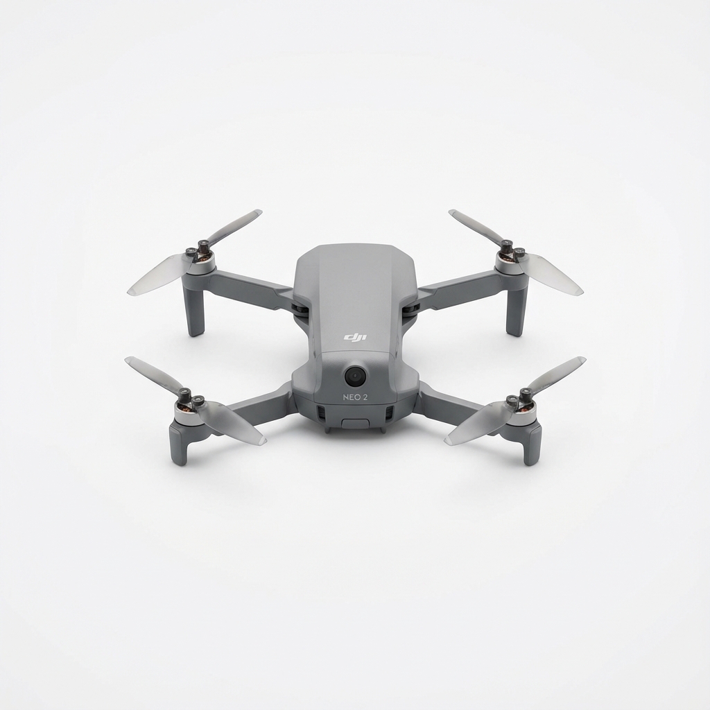
Take off and land directly from your hand. No controller or phone required for quick shots.
Neo 2 follows you automatically, keeping you perfectly centered while you bike, run, or walk.
Quickly edit and share your footage with the DJI Fly app. One-tap templates for instant social posts.
Stay informed with the latest updates on drone technology, industry trends, and precision agriculture insights.
Remote vineyard work exposes a drone faster than almost any casual flight ever will. Rows compress perspective. Trellises create repetitive visual patterns. Win
You are not filming a weekend trail ride or grabbing a quick skyline reveal. You are trying to document progress across changing terrain, unfinished access road
That is the part many pilots underestimate when they take a compact drone like the Neo 2 into dry woodland, logging roads, scrub-edge trails, or pine forest lot