Neo 2 at Altitude: A Field Report for Construction Site
Neo 2 at Altitude: A Field Report for Construction Site Survey Work
META: A practical field report on using the Neo 2 for high-altitude construction site surveys, with real-world guidance on obstacle avoidance, ActiveTrack, D-Log, QuickShots, Hyperlapse, and pre-flight sensor cleaning.
High-altitude construction work exposes every weakness in a small drone workflow. Thin air affects lift. Bright snow, pale concrete, and sharp shadows can confuse vision systems. Gusts come off unfinished towers in ugly bursts, not smooth lines. And when the aircraft is being used to document progress rather than capture pretty scenery, inconsistency becomes expensive fast.
That is where the Neo 2 starts to get interesting.
This is not a generic drone roundup or a spec-sheet rewrite. I’m approaching the Neo 2 the way a photographer on an active jobsite would: as a compact tool that has to launch quickly, keep itself aware in cluttered airspace, and deliver footage that can survive both client review and post-production grading. If your use case is surveying construction sites at elevation, the value of the platform is not just in how well it flies. It is in how predictably it handles the messy edge cases that show up before lunch.
The first thing I do on a mountain or high-rise site has nothing to do with takeoff. I clean the sensing surfaces.
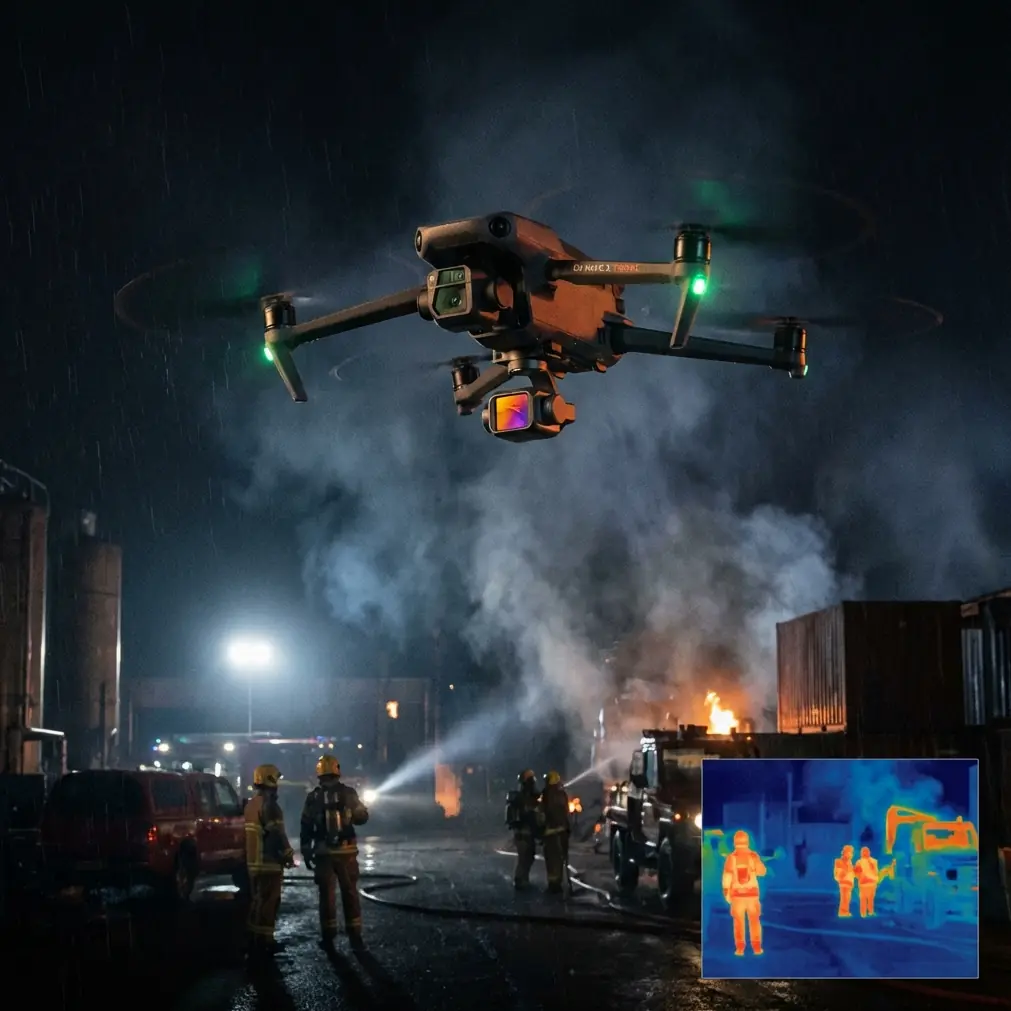
That sounds minor until you are relying on obstacle avoidance around cranes, temporary fencing, rebar bundles, and partially enclosed structures. Dust, concrete powder, mist, and glove smears can all degrade the effectiveness of vision-based safety features. On a cold morning, I have seen a perfectly capable aircraft become hesitant simply because the front-facing sensors were carrying a thin film of grime. On the Neo 2, a quick pre-flight wipe of the obstacle sensing areas and camera glass is one of those boring habits that pays for itself immediately. At altitude, where reaction margins feel smaller and the site geometry is less forgiving, clean sensors are not housekeeping. They are part of flight safety.
That cleaning step matters even more if you lean on automated flight aids. The Neo 2’s obstacle avoidance and subject tracking features can reduce pilot workload, but only when the aircraft is reading the scene correctly. Construction sites are dynamic visual environments. Steel frames create repeating patterns. Excavation zones can be monochrome. Worker movement, dust plumes, and suspended loads all introduce distractions into the frame. If you are using ActiveTrack to follow a foreman walking a perimeter or a vehicle moving across a haul route, your first defense against unreliable behavior is not software menus. It is starting with sensors that are actually seeing what is in front of them.
For high-altitude site surveys, I have found the Neo 2 strongest when it is treated as a disciplined capture platform rather than a casual follow-cam. That means deciding early which flight mode serves the operational goal.
If the assignment is progress documentation, I want repeatability. I am less interested in dramatic reveals and more interested in preserving camera angle, altitude, and path so that this week’s footage can be compared to last week’s. In that role, Hyperlapse can be surprisingly useful, not for cinematic flair but for compressing visible activity on site into a form that reveals workflow and sequencing. Vehicle circulation, material staging, and crew concentration become easier to read when time is condensed. Used carefully, Hyperlapse turns visual clutter into operational evidence. It can show whether one section of the site is genuinely advancing or merely busy.
QuickShots sit on the opposite end of the spectrum. Some pilots dismiss them as consumer-facing shortcuts, but on a construction assignment they can save time when stakeholders need a fast, legible overview. A clean pull-back or orbit can establish context around a structure, crane pad, or access road with very little setup. The key is restraint. A QuickShot is useful when it clarifies scale or orientation. It becomes noise when it is used just because the button exists. For construction clients, flashy movement rarely beats readable geometry.
That brings me to image handling, which matters more than many site teams expect. If you are shooting in harsh alpine light or on an exposed plateau, contrast can become brutal by mid-morning. White membranes, reflective metal, fresh concrete, and deep trench shadows all compete inside the same frame. This is where D-Log earns its place in the workflow.
I would not use D-Log because it sounds professional. I would use it because it gives you more room to manage extreme contrast later, especially when a site visit spans changing cloud cover and unpredictable glare. For progress reports, the practical advantage is consistency. You can recover highlight detail on bright surfaces while keeping enough information in the darker structural elements to show actual conditions. That matters when an engineer, developer, or project manager is trying to verify status from footage rather than simply admire it. A flatter recording profile asks more of post-production, yes, but it also protects information that would otherwise be lost in a high-altitude lighting environment.
There is another operational reality here: wind at altitude is rarely honest. A launch zone may feel manageable while the upper edge of the site is being hit by lateral gusts coming around unfinished walls. The Neo 2’s compact form is an advantage for deployment, but it also means the pilot needs to fly with intention. I avoid any route that depends on the drone making last-second corrections close to structures. Obstacle avoidance is a layer of protection, not permission to cut clearance too tightly. On construction sites, especially elevated ones, the safer habit is broad arcs, conservative stand-off distance, and a constant awareness of how wind funnels around corners.
Subject tracking deserves the same measured mindset. ActiveTrack can be genuinely useful when documenting site movement patterns or following a superintendent on a walk-through, particularly if you are a solo operator balancing aircraft control and visual storytelling. But it should be used where the background is readable and the route is predictable. On a crowded slab deck or near overlapping machinery, manual control is often the smarter choice. The operational significance of tracking is not that it automates piloting. It is that it can free attention for composition and situational awareness when used in the right segment of the job.
That distinction becomes critical in thin-air environments. At higher elevations, everything happens with slightly less margin than pilots are used to at sea level. Small drift is more consequential near steel. Short battery windows feel shorter. If your aircraft is spending extra energy fighting turbulent air while also trying to maintain an automated track, you need to be honest about whether the convenience is still worth it. My rule is simple: if the environment is visually messy or aerodynamically dirty, I downgrade automation and return to direct inputs.
One of the Neo 2’s real strengths for site work is psychological, not technical. It is less disruptive.
On active construction projects, especially smaller or vertically stacked sites, a compact drone can attract less attention than a large platform and fit more naturally into a fast inspection routine. That does not reduce your obligations around safety or coordination, but it does change the tempo of the work. You can move from stills to video to a short tracking pass without turning the operation into an event. For photographers and content teams embedded with construction firms, that lower-friction deployment matters. It lets you capture more often, which usually produces better longitudinal records.
Still, none of that matters if the footage is not usable after the flight. For survey-adjacent work, I organize each mission around three passes.
First, a high establishing pass that records site context, neighboring access routes, and terrain relationship. At altitude, this is where you show why the project footprint behaves the way it does. Drainage paths, wind exposure, and logistical choke points often become obvious only from this view.
Second, a mid-level structural pass that emphasizes build progress. This is where obstacle avoidance has the most practical value, because the aircraft is operating near partially completed forms, scaffolding, and temporary installations. Again, clean sensors matter here. A dust-coated sensing array can turn a confident pass into a hesitant one, or worse, a misleading one.
Third, a detail-oriented movement pass for narrative use. This is where ActiveTrack, QuickShots, or a modest Hyperlapse sequence can add context. Maybe you follow a vehicle route that reveals congestion. Maybe you run a short orbit to show crane swing clearance relative to adjacent works. Maybe you compress an hour of façade activity into a concise visual record. Each of those tells a different operational story. None should be flown just to make the edit feel lively.
I also recommend something that sounds old-fashioned: talk to the site team before every flight, even if you were there yesterday. High-altitude jobs can change quickly. A new scaffold line, fresh netting, an adjusted crane radius, or a temporary hoist can alter the safe envelope. The Neo 2 may be equipped with smart features, but those features do not know the plan for the next lift or the reason one access lane suddenly needs to stay sterile. Human briefing still beats automated confidence.
For teams building a repeatable capture program, the sweet spot with the Neo 2 is a hybrid workflow. Use the automation where it reduces workload without reducing control. Use D-Log when the light is harsh enough to punish standard capture. Use QuickShots sparingly, only when they explain spatial relationships better than a manual move. Use Hyperlapse to reveal tempo, not to decorate a recap. And before any of that, clean the lenses and sensing surfaces as if that tiny ritual were part of the checklist—because it is.
That may be the most useful lesson from using a compact aircraft on elevated construction projects: reliability begins with small disciplines. Not glamorous ones. Not the features that dominate launch-day marketing. Simple habits. Clear flight intent. Respect for wind, contrast, and clutter. The Neo 2 is most effective on these sites when it is treated less like a flying camera toy and more like a field instrument that happens to make excellent images.
If you are trying to build a practical capture routine around it and want to compare notes from the field, you can message me here. The interesting part is never the brochure version of the aircraft. It is how the tool behaves when dust gets on the sensors, the light turns hard, and the site starts throwing problems at you from three directions at once.
That is the real test for the Neo 2 in high-altitude construction survey work. Not whether it can fly, but whether it can keep producing dependable, interpretable footage under pressure. With the right pre-flight discipline, thoughtful use of obstacle avoidance and ActiveTrack, and a workflow built around D-Log and repeatable passes, it can do exactly that.
Ready for your own Neo 2? Contact our team for expert consultation.