Neo 2 in Mountain Field Work: A Field Report on Mapping
Neo 2 in Mountain Field Work: A Field Report on Mapping Before Spraying
META: A field report on using Neo 2 for mountain agricultural missions, with lessons from UAV photogrammetry, route planning, control points, obstacle awareness, and image workflows that matter before field spraying.
Mountain spraying is never just about getting liquid over crops. The real work starts earlier, when you need to understand slope, access, parcel edges, elevation change, and the awkward geometry that mountain farmland always seems to impose on operators. That is where a compact aircraft like the Neo 2 becomes more useful than many people expect.
I came to this from the imaging side first. As a photographer, I tend to notice what many field teams miss on the first pass: bad light, unstable hover behavior near ridgelines, the way shadows erase terrace edges, and how a rushed route can produce attractive footage but weak operational data. For mountain agriculture, those details are not cosmetic. They affect where a spraying team can safely work, how much overlap exists between passes, and whether a field boundary can actually be trusted when planning a treatment run.
What changed my view of Neo 2 was not a generic flight demo. It was seeing how well the aircraft fits into the reconnaissance and documentation stage that comes before spraying. If you read the old photogrammetry literature closely, the lesson is obvious: even relatively small project areas demand discipline. One rural land-rights survey project using a quadcopter workflow covered just 2 km², yet it still required formal route design, control-point strategy, image checks, and output preparation for digital orthophotos and a digital elevation model. That is the right mindset for mountain agriculture too. A spraying job might look simple from the road. From the air, it rarely is.
Why mountain spraying needs a mapping-first mindset
In flat farmland, operators can often rely on visual cues and straightforward pass planning. In mountain terrain, the field itself fights back. Boundaries bend around retaining walls. Access roads may only exist on one side. The slope changes aspect within a single block, which changes lighting and, in some cases, spray drift behavior. Terraces stack closely enough that one misread edge can affect the next level below.
That is why I treat Neo 2 less as a flying camera and more as a fast field intelligence tool. Before any spraying mission, the aircraft can document:
- field shape and edge conditions
- terrace breaks and embankments
- approach and takeoff locations
- nearby trees, wires, and structures
- road access for tanks, batteries, and crew movement
- sun angle issues that may hide crop rows or ditch lines
The reference survey project makes this point indirectly but clearly. The team did not simply fly and hope for usable data. They designed a route map, selected image control point locations, and adjusted operations to suit the local environment. For mountain spraying, that same discipline helps turn a difficult hillside into a workable mission plan.
What the reference project teaches us about Neo 2 operations
A lot of drone content talks about capabilities in abstract terms. The better question is operational significance: what do the numbers actually change in the field?
In the source case, the survey area measured roughly 1.4 km east-west by 1.5 km north-south, and the team planned 14 north-south flight lines after checking local road conditions. That detail matters more than it may seem. In mountain work, route orientation is not only about coverage. It affects launch logistics, pilot visibility, battery turnover, and consistency of image overlap across changing terrain.
With Neo 2, route planning should follow the same logic. If the mountain road gives you practical access on the lower southwest edge and a safe recovery option toward the northeast, your route design should reflect that, not some idealized grid from office software. In the source material, the operators selected takeoff and landing areas on relatively open roadside spaces in the southwest and northeast portions of the site, partly to match the route design and partly to handle environmental constraints. That is exactly the kind of field decision that separates useful aerial work from wasted flights.
The second key detail is image quality control. In that project, the team captured 643 photos, then checked them in the UAV processing system and confirmed the imagery was clear, with tilt and rotation staying within acceptable standards. For a mountain spraying workflow, this is huge. If your recon imagery is blurred, too oblique, or inconsistent in angle, your stitched map may still look decent on a phone screen, but the practical errors show up later when someone tries to define a spray edge along a terrace lip or an access path.
Neo 2 does not need to become a formal survey platform to benefit from survey-grade thinking. It simply needs to be flown with purpose.
Neo 2’s real role before spraying
Let’s be honest. Neo 2 is not the machine that carries out mountain crop spraying itself. The aircraft earns its place one step earlier and one step after: planning and verification.
Before spraying, Neo 2 can be used to inspect parcels, identify obstacles, and create a visual record of terrain complexity. After spraying, it can document coverage zones, crop condition changes, and any issues around runoff pathways or inaccessible corners.
That is where features often marketed to casual creators can become unexpectedly useful in agriculture.
Obstacle awareness is not optional in mountain blocks
Mountain fields are cluttered by design. Trees lean into access lanes. Utility lines can cut across valleys. Poles, irrigation pipes, netting, and retaining walls interrupt otherwise clean flight paths. Even when a drone has obstacle avoidance support, you still need to think like a field operator, not a gadget enthusiast. A downhill visual line can be deceptive. Terraces create hidden vertical separations. The aircraft may appear clear from your position while actually drifting into a branch line above the next step of the slope.
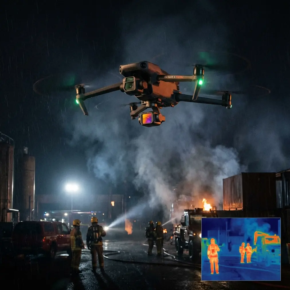
For Neo 2, obstacle awareness matters less as a convenience and more as a risk filter during pre-spray inspection. It helps the crew decide whether a larger ag platform can approach from above, below, or only from one side. In other words, the small drone reduces uncertainty for the big drone.
Subject tracking and ActiveTrack have a practical agricultural use
Subject tracking sounds like a lifestyle feature until you use it to follow the movement of a ground scout, pickup, or utility vehicle along a mountain field road. On steep terrain, this is surprisingly useful. The operator can document real access conditions, not just field shape. Can a mixing vehicle reach the upper terrace? Is there enough turning room at the end of the lane? Where does loose gravel or erosion begin?
Used carefully, ActiveTrack can create a continuous visual record of those routes, which gives farm teams a better understanding of how to stage equipment safely. It is not a substitute for walking the land, but it is a fast way to capture the full route context.
Why image timing still matters
One of the smartest details in the reference document was the decision to avoid midday operations. That was not arbitrary. Harsh overhead light can flatten terrain cues, increase glare, and make some boundaries harder to interpret. In mountain areas, noon light also creates a strange mix of blown-out ridge tops and dark shadow pockets depending on orientation.
If you are flying Neo 2 to support spraying preparation, avoid treating the camera feed as if any light will do. Early morning or later afternoon often reveals terrace edges, wheel tracks, drainage lines, and vegetation transitions more clearly. That affects operational decisions.
I also appreciate the reference project’s emphasis on checking the imagery rather than assuming it is usable. Capturing hundreds of photos means nothing if key edge zones are soft or skewed. For mountain field work, one missed corner can become a no-spray gap or, worse, a mistaken treatment area.
A third-party accessory that made Neo 2 more useful
One accessory improved my own mountain field sessions more than expected: a high-brightness third-party monitor hood and tablet mount attached to the controller setup. It sounds minor. It is not.
On steep sites, you are often standing on uneven ground with bright reflected light coming off pale soil, plastic mulch, or water channels. A larger, shaded display makes it easier to judge edge detail, detect shadow loss, and verify whether a route actually covered the terrace transition you cared about. That reduces the need for repeat flights and helps when comparing imagery against field notes in real time.
I have also seen teams benefit from third-party landing pads in mountain conditions where dusty roadside takeoff zones are the only option. Dust control during launch and recovery is not glamorous, but it protects image quality and reduces avoidable handling issues.
Can Neo 2 support photogrammetry-style field documentation?
Within limits, yes. And this is where the survey reference becomes directly relevant.
The source project used a quadcopter system, a 35 mm fixed-focus camera, and a flight design targeting 0.1 m ground resolution for 1:1,000 scale mapping products. That is formal aerial survey territory. Neo 2 is not a one-to-one replacement for that workflow. But the operational lesson still transfers: if the goal is reliable mountain field planning, image acquisition has to be consistent enough that terrain interpretation is trustworthy.
You do not always need a full legal-grade survey to support spraying decisions. But you do need:
- repeatable route coverage
- clear overlap strategy
- stable image capture
- reference points on the ground
- careful review before acting on the map
The source team also took an efficient approach to control-point placement. Instead of following a heavier conventional layout, they placed 13 image control points evenly across relatively flat parts of the area, partly to reduce field workload and partly to evaluate the software’s feature-matching performance. That is a useful reminder for mountain growers and service providers: precision is not only a hardware question. It is also a workflow question. Smart placement of a small number of well-chosen references can improve confidence without overcomplicating the mission.
They added 17 check points to validate the final results. Again, that matters. In mountain agriculture, “looks right” is not the same as “is right.” If a map will influence where equipment goes or where treatment boundaries are set, some form of ground verification should always be part of the process.
Where the camera features fit in
QuickShots and Hyperlapse are usually discussed as creative tools, but I would not dismiss them too quickly in this context.
A short QuickShot sequence can give stakeholders an immediate understanding of slope relationships, road approach, and terrace stacking. It is useful when a farm owner, spray contractor, and field manager are not on site together. Hyperlapse can document changing weather movement over a block or show how shadow migration affects a narrow treatment window.
D-Log is the feature I value most from the imaging side. Mountain scenes often contain brutal contrast: bright sky, reflective leaves, dark understory, deep terrace shadow. A flatter color profile preserves more grading latitude, which helps when you need to inspect footage later for practical details rather than just visual appeal. If the purpose is field interpretation, retaining highlight and shadow detail has operational value.
A realistic Neo 2 workflow for mountain spraying support
For crews working in mountain agriculture, this is the practical pattern I recommend:
- Scout access roads and choose safe launch and recovery points.
- Avoid midday light if terrace definition is critical.
- Fly a consistent route aligned with the real terrain and road network, not just a perfect grid.
- Capture enough overlap for later review or stitching.
- Mark a few visible ground references where possible.
- Review imagery immediately for blur, tilt, and missing edge coverage.
- Use the resulting visuals to brief the spraying team, especially around obstacles and approach direction.
- Return after treatment for verification imagery.
If you are trying to adapt Neo 2 to this kind of mountain farm workflow and want to compare accessories, route logic, or field setup ideas, I’d suggest sending your scenario through this quick WhatsApp channel: message a UAV specialist here.
The bottom line
The most useful thing about Neo 2 in mountain spraying is not spectacle. It is clarity.
Mountain agriculture punishes assumptions. A field that seems simple from ground level can hide elevation breaks, access traps, and obstacle clusters that complicate spraying. The reference photogrammetry project proves the broader principle: even a modest 2 km² site benefits from deliberate route design, verified imagery, and a structured ground-reference approach. Those same habits make Neo 2 far more valuable in real agricultural work.
Used this way, Neo 2 becomes the aircraft that helps crews see the field before they commit heavier assets. It documents the route, reveals the terrain, supports communication, and reduces guesswork. That is a serious job. And in mountain operations, serious preparation usually matters more than one more flashy flight mode.
Ready for your own Neo 2? Contact our team for expert consultation.