Neo 2 Scouting Tips for High-Altitude Fields
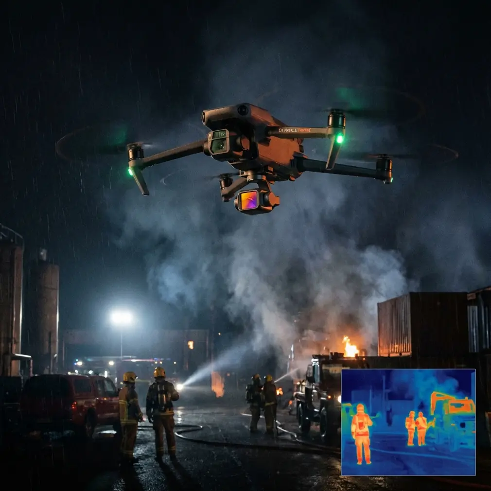
Neo 2 Scouting Tips for High-Altitude Fields: What Actually Matters When the Air Gets Thin
META: Practical Neo 2 field-scouting advice for high-altitude environments, with real-world insight on wind, flight behavior, obstacle awareness, tracking modes, and why biomimetic flight lessons still matter.
I spend a lot of time thinking about flight behavior in places photographers and field operators tend to underestimate: open farmland, ridgelines, terraces, and upland plots where the air looks calm from the ground but behaves very differently once the drone climbs out.
That matters for anyone trying to use the Neo 2 to scout fields at altitude.
The usual conversation around a compact drone tends to focus on camera features first. Subject tracking. QuickShots. Hyperlapse. Maybe D-Log if the operator wants more room in post. Those are useful, but for high-altitude field scouting they are secondary to a tougher question: how does a small aircraft behave when lift, thrust, and stability are all working against a thinner atmosphere and more complicated wind?
That is where the underlying flight lesson becomes more interesting than the marketing shorthand.
A reference from a Chinese UAV knowledge document makes a blunt point about lighter, lower-powered aircraft: they struggle at higher altitude, they are more affected by strong wind, and flying into a headwind becomes difficult. It also notes that very light airframes can be strongly influenced by crosswinds. Those are not abstract textbook warnings. For a Neo 2 operator scouting fields in elevated terrain, they describe the exact conditions that can break a mission from the start.
The real problem with high-altitude scouting
If your job is to check irrigation lines, crop uniformity, fence edges, access roads, or terrain transitions across a high field, you usually want three things at once:
- a stable platform
- repeatable flight paths
- enough confidence to stay focused on what you are observing rather than constantly rescuing the aircraft from the wind
High-altitude fields work against all three.
The first challenge is thinner air. Even when a drone can legally and mechanically fly in the area, reduced air density changes how efficiently the propulsion system works. Compact aircraft have less margin. The second challenge is wind layering. Ground-level wind may seem mild, yet airflow over open slopes or ridges can create headwinds and side gusts that a small drone feels immediately. The third challenge is visual monotony. Field scouting often means broad, repetitive terrain with few obvious references, so obstacle awareness and orientation discipline become more important than they would be in a cluttered urban setting.
That is why the Neo 2 should not be approached as a “just launch and track” tool in these locations. It performs best when the operator respects what the air is doing.
Why an old aerodynamics lesson still helps Neo 2 pilots
One of the more useful details in the reference material has nothing to do with camera drones directly. It explains that a propeller blade is shaped a lot like a wing. The front surface has stronger curvature, similar to an upper wing surface, while the rear surface is flatter, like the lower side of a wing. It also notes that each blade is twisted from root to tip, because the blade angle changes along its length.
Operationally, that matters because it reminds us that the Neo 2’s propulsion is not just “spinning fast.” It is producing thrust through wing-like surfaces moving through the air. At higher altitude, where the air is thinner, that process becomes less forgiving. When a pilot feels the drone laboring into wind over an elevated field, that is not a mystery. The aircraft is asking its propeller system to produce stable thrust in worse aerodynamic conditions.
That should change how you plan your scouting run.
Do not begin by flying straight into the wind at the far edge of the field and assume you can sort it out later. Start by reading the direction of movement in grasses, dust, tree edges, or irrigation mist if present. Use the first segment of the flight to test resistance and response, not to commit to the longest outbound leg. If the aircraft is working harder than expected early on, that is your warning to shorten the route, lower altitude, or change approach direction.
The Robirds lesson: shape and behavior affect reactions
The same reference document mentions a fascinating aircraft developed by Nico Nijenhuis of Clear Flight Solutions in the Netherlands: Robirds, a remote-controlled mechanical raptor designed to flap like a real bird. Its purpose was practical rather than theatrical. In areas with persistent bird nuisance, the machine exploited bird instinct. Real birds identify predators by silhouette, wing movement, and flight behavior, then leave. According to the source, bird numbers in Robirds’ operating area dropped by more than 50%.
Why bring up a flapping robotic falcon in an article about Neo 2 field scouting?
Because it illustrates a core aviation truth: behavior in the air changes outcomes. Not just hardware. Not just specs. How something moves through the sky matters.
For Neo 2 pilots, the takeaway is simple. In high-altitude field work, your flight style affects the quality of your scouting more than many people expect. Abrupt climbs, fast yaw corrections, and long exposed headwind pushes waste energy and reduce image consistency. Smoother, more deliberate movements produce better track retention, steadier framing, and less stress on a small aircraft.
The Robirds example also underlines something relevant to agricultural operations: drones do not operate in an empty environment. Birds, livestock, field workers, trellis lines, utility poles, and changing weather all shape the mission. If your scouting route passes near areas with bird activity, avoid assuming automated movement modes will always be the right choice. Manual awareness still wins.
How I would fly the Neo 2 over high fields
When I am using a compact drone in elevated open ground, I think in phases rather than modes.
Phase 1: Establish the air
Lift off and hold a conservative hover first. Watch drift, correction behavior, and how much effort the aircraft uses to maintain position. Then perform a short crosswind translation and a brief upwind segment. In thirty seconds, you learn more than you would from a rushed climb to working height.
If the field sits near a ridge or stepped terrain, test one altitude lower than your intended operating height first. Wind can increase sharply only a little higher up.
Phase 2: Build the route around the return
A lot of pilots still make the same mistake in open country: they fly the easy outbound leg with the wind, then discover the hard part on the way back. For high-altitude scouting, I prefer to bias the flight so the more demanding segment happens earlier, while battery reserve and operator attention are strongest.
This is especially useful when checking long field edges, drainage cuts, or perimeter access tracks.
Phase 3: Use automation selectively
The Neo 2’s appeal includes features people understandably want to use: ActiveTrack-style subject following, QuickShots, and Hyperlapse. These can be valuable in civilian field work. For example:
- Subject tracking can help follow a farm vehicle or worker moving through a plot, giving a visual overview of route progress.
- QuickShots can create a rapid contextual view of a field block, useful for briefing landowners or documenting site layout.
- Hyperlapse can show changing light, fog movement, or machine activity over time.
- D-Log can preserve more grading flexibility when you need consistent visual records across changing mountain light.
But automation is not a substitute for wind judgment. In exposed high fields, I treat these features as finishing tools, not core navigation tools. Get the safe scouting pass first. Stylized capture comes second.
Obstacle avoidance in open country is not as simple as it sounds
People hear “field” and assume obstacle avoidance barely matters. Sometimes the opposite is true.
The problem is not dense clutter. It is sparse, easy-to-miss clutter: isolated poles, wires, tree lines at field margins, netting, greenhouse frames, pivot rigs, and sudden elevation changes. A small drone at low angle light can lose visual contrast against these background elements. Obstacle awareness features can help, but they should be backed up by route discipline.
In practical terms, that means:
- avoid flying parallel to suspected wire lines at low visual contrast
- don’t descend while moving backward unless the path is already confirmed clear
- when using tracking modes near treelines or edges, leave extra lateral space
- remember that sloped terrain changes your effective clearance faster than flat-land instincts suggest
High-altitude fields also produce visual deception. Distances look shorter. Terrain breaks seem gentler. The camera view can trick the operator into thinking there is more separation than there actually is.
The accessory that made a bigger difference than expected
The most useful third-party accessory I have added for this kind of work was not something flashy. It was a high-visibility landing pad paired with a compact sun hood for the controller or phone screen.
That sounds minor until you operate on dusty, uneven field margins in bright upland light. The landing pad creates a predictable takeoff and recovery point away from loose grass and grit. The screen hood makes it easier to evaluate exposure, framing, and obstacle spacing without squinting through glare. In a high-altitude field, where every extra second in the air should have a purpose, that little improvement in readability saves bad decisions.
I have also seen operators benefit from third-party propeller storage and transport solutions that protect blade condition better between locations. Since propeller efficiency matters more when the air is thin, starting with clean, undistorted blades is worth more than most new users realize.
If you are sorting out a field workflow and want a practical setup discussion, this direct WhatsApp line for accessory and mission planning questions is useful.
Camera settings that serve scouting rather than social clips
Scouting is evidence gathering. Even when the footage needs to look good, clarity beats drama.
For crop and land observation, I usually recommend:
- conservative movement speed
- locked exposure where lighting is stable
- slightly higher altitude passes for pattern recognition
- lower, slower follow-ups for confirming details
- D-Log only if the team can actually manage the footage properly afterward
QuickShots have their place, but they should support context, not replace inspection passes. A short pullback can show how a damaged section relates to surrounding terrain. A stylized orbit over a field entrance may look attractive but say very little operationally.
Hyperlapse is more useful than many field teams think. In mountain or upland environments, weather and shadow movement can affect work windows, irrigation timing, and visibility across slopes. A clean time-compressed sequence can capture that pattern efficiently.
What Neo 2 operators should remember from the reference material
Two details from the source deserve to stay front-of-mind.
First, the warning that lighter aircraft with lower power struggle at higher altitude and in strong wind, especially when flying into a headwind. Operationally, that means route planning and battery margin are not optional details. They are the mission.
Second, the explanation of propeller blades as wing-like, twisted aerodynamic surfaces is more than theory. It tells you why propeller condition, air density, and smooth control inputs matter so much. When the drone is flying over high fields, thrust is being earned through precise aerodynamics, not brute force.
And the Robirds example adds a third lesson in spirit: movement itself has meaning. In that case, predator-like shape and motion caused a measurable outcome, with bird presence reportedly reduced by over 50% in the operating area. For Neo 2 users, the comparable insight is that controlled, intentional movement creates better field intelligence than hurried stick work ever will.
The bottom line for high-altitude field scouting
Neo 2 can absolutely be useful in elevated agricultural and rural scouting, but only when flown with respect for the environment it is entering. Thin air narrows your performance cushion. Headwinds expose weak planning. Crosswinds punish light aircraft. Open fields hide obstacles in plain sight. Automated features help, but they do not remove those realities.
If you treat the drone as an aerial notebook instead of a stunt platform, it becomes much more effective. Test the air first. Fly the hard leg early. Use obstacle awareness intelligently. Save tracking and cinematic modes for moments when conditions have already been proven safe. Add a few practical accessories that improve visibility and launch discipline.
That is how you get useful scouting footage from a high field without asking a compact aircraft to pretend it is something it is not.
Ready for your own Neo 2? Contact our team for expert consultation.