Neo 2 in Complex Terrain: A Field Report from the Edge
Neo 2 in Complex Terrain: A Field Report from the Edge of the Treeline
META: A field-tested look at using Neo 2 for scouting fields in complex terrain, with practical notes on obstacle avoidance, ActiveTrack, D-Log, QuickShots, Hyperlapse, and managing electromagnetic interference.
I took the Neo 2 into broken country the kind of farmland that never reads like a clean rectangle on a map. Terraces, tree lines, gullies, utility poles, uneven ridges, and patches of signal noise all show up in the same morning. This is where a small drone either proves itself useful or turns into one more thing you have to manage.
The brief was simple enough: scout fields in difficult terrain, document access routes, get a visual read on crop edges and drainage, and come back with material that could be reviewed later without requiring a second visit. The reality was less tidy. Wind spilled over the slope in inconsistent bursts. A stand of trees interrupted sightlines. A nearby power corridor introduced electromagnetic interference that made link quality less predictable than it looked at launch.
That combination tells you a lot about a drone very quickly.
Why Neo 2 makes sense for scouting work
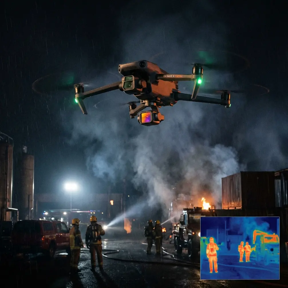
Neo 2 is easy to underestimate if you only think of it as a lightweight camera platform. In field scouting, the real value is not brute force. It is speed of deployment, low pilot friction, and the ability to gather useful visual context before conditions change.
That matters in complex terrain because the window for a clean pass can be short. Light moves. Wind shifts. Farm vehicles enter the route you intended to inspect. Livestock and workers change where you can safely fly. A drone that gets into the air fast and gives you stable framing with obstacle awareness is often more practical than a larger system that takes longer to prep.
For this type of work, obstacle avoidance is not a luxury feature. It changes the way you scout. In open fields, almost anything can produce usable footage. In mixed terrain, the problem is not the empty space above the field. The problem is everything around the field. Tree canopies, irrigation hardware, fences, sheds, and terrain rise all compress your margin for error. Obstacle sensing lets you fly with more confidence near the boundaries where the most valuable observations often live.
If you are checking where runoff collects at the edge of a slope, or where a service track narrows near a hedgerow, you need to work close enough to read the scene properly. That is where the aircraft’s awareness becomes operationally significant. It is not just protecting the drone. It is protecting the mission from becoming too cautious to be useful.
The first challenge was not terrain. It was interference.
People talk about complex terrain as a visual problem. Sometimes it is. But on this flight, the first warning sign came from the radio environment.
Near one section of the property, the image feed started showing the kind of inconsistency that makes you stop and reassess. No panic, no dramatic signal loss, just enough instability to tell you that the area was electronically messy. That is common near power infrastructure, metal structures, and certain elevated positions where reflections and interference stack up in awkward ways.
The practical fix was old-fashioned discipline: pause, reposition, and adjust antenna orientation instead of pushing ahead and hoping the link cleans itself up. Small changes matter. Turning to maintain a clearer line between controller and aircraft, stepping away from a vehicle, and refining antenna angle can noticeably improve link stability. In this case, it did.
This is one of those details that sounds minor until you are halfway through a scouting pass and your framing starts suffering because you are splitting attention between the scene and a degraded transmission link. Antenna adjustment is not glamorous, but it directly affects the quality of the survey. When interference enters the picture, a pilot who understands positioning will often get more from the aircraft than a pilot who simply trusts automation.
That was the first useful reminder of the day: in difficult environments, technique multiplies the value of the platform.
ActiveTrack is more useful in agriculture than people assume
One of the smarter ways to use Neo 2 in field scouting is not to think of subject tracking as a cinematic feature. Think of it as a documentation tool.
I used ActiveTrack to follow a utility vehicle moving along an access path that cut across uneven ground and dipped behind low brush. The point was not to create dramatic footage. It was to record the route in a way that showed surface condition, clearance, turning space, and how the path interacted with field edges. For farm managers, contractors, or survey teams, that kind of visual record is more useful than a static overhead image alone.
This is where subject tracking earns its place. Instead of manually juggling speed, framing, and obstacle awareness while trying to keep the moving reference point visible, the drone handles part of the workload. That reduces pilot fatigue and makes the resulting footage easier to interpret later.
Operationally, that means better repeatability. If you return after rain, after harvesting, or after maintenance work, you can document the same route in a similar way and compare conditions. The technology is doing more than keeping a subject centered. It is helping standardize observation.
In complex terrain, that matters.
QuickShots and Hyperlapse are not just “creative modes”
There is a bad habit in commercial drone work of dismissing automated flight patterns as features for hobby shooting. That misses the point.
QuickShots can be genuinely useful when you need a fast, consistent establishing view of a site. On this assignment, I used short automated sequences to capture the relationship between terraced sections, access roads, and tree lines. A manually flown clip can do the same thing, of course, but QuickShots reduce the chance of uneven movement when you are working under time pressure.
The result is not only cleaner footage. It is clearer context. A farm manager reviewing the material later can understand the layout faster because the movement reveals scale and spacing in a controlled way.
Hyperlapse has a different role. When you are trying to show change over time cloud shadows crossing a slope, irrigation activity, equipment movement, or the rhythm of work on adjacent parcels a condensed time sequence can communicate more than a series of stills. In scouting, that can be useful for explaining why one part of a site behaves differently from another over a short period.
The key is intent. If you use these tools as shortcuts to visual polish, they stay superficial. If you use them to compress spatial and temporal information, they become practical.
D-Log made the review process better, not harder
A lot of field operators hear “D-Log” and immediately think post-production burden. That is only half the story.
In mixed lighting, especially in terrain where one side of a field is in hard sun and another is held under shadow from trees or slope, a flatter recording profile gives you more room to recover detail later. On this flight, that mattered because the most informative parts of the property were often transitional areas. Not the bright center of a field, but the margins where drainage lines disappeared into shadow, where vegetation density changed, or where surface wear on a route was easiest to miss.
D-Log helped preserve those differences. That has direct operational significance. If your footage is intended for later review by someone making decisions about access, maintenance, planting patterns, or inspection priorities, tonal detail matters more than immediate punchy color.
As a photographer, I care about image quality for obvious reasons. But in this context, the larger issue is interpretability. Good scouting footage should survive close review. It should let people pause, zoom, compare, and ask better questions. D-Log supports that by keeping more information on the table.
Handling the treeline: where obstacle avoidance earns trust
The most delicate part of the session happened along a field border where a treeline rose unevenly beside a sloped access lane. This is a common trouble spot. Wind curls over the canopy, branches extend farther than they appear from some angles, and terrain can trick your sense of altitude.
Here the value of obstacle avoidance was straightforward: it gave me the confidence to maintain a productive line without flying so conservatively that the footage lost relevance. I still left room. Sensible piloting never disappears. But the aircraft’s ability to recognize and react to nearby hazards changes the risk equation.
What matters operationally is not that the drone can prevent every mistake. It is that obstacle awareness lets you gather useful edge-of-field imagery in places where manual caution alone would push you too far back for meaningful assessment.
That distinction is worth making because many scouting tasks happen at boundaries. Field boundaries. Vegetation boundaries. Slope breaks. Property transitions. Those are exactly the places where terrain gets interesting and navigation gets less forgiving.
A small drone changes the social side of fieldwork
There is another advantage to a compact aircraft in agricultural settings, and it has nothing to do with spec sheets.
A smaller drone is easier to fit into normal site activity. It draws less attention, interrupts less, and is simpler to launch from imperfect ground. In a real field environment, you are often setting up near muddy tracks, rough grass, or the edge of a service area with limited clear space. A machine that gets airborne quickly and lets you finish a short task without turning the site into a production set has real value.
That was especially noticeable here because the scouting run involved several short hops rather than one long continuous mission. Check a drainage edge. Reposition. Document a route segment. Reposition again. Capture an overview of a terrace break. The rhythm of the work suited Neo 2.
That kind of stop-start workflow is common in agriculture and land inspection. The drone is not there to dominate the day. It is there to answer specific questions efficiently.
What I would tell anyone flying Neo 2 in complex terrain
First, do not treat signal quality as a background issue. If you encounter electromagnetic interference, respond early. Reassess your takeoff position, maintain clearer line-of-sight, and adjust antenna direction deliberately. Small corrections can stabilize the link before minor inconsistency becomes a larger operational distraction.
Second, use ActiveTrack with purpose. Tracking a moving vehicle, person, or piece of equipment can document routes and workflows more effectively than freehand flying, especially when terrain forces you to divide attention.
Third, reserve QuickShots and Hyperlapse for moments when they improve understanding. A well-timed automated reveal can explain site geometry fast. A short Hyperlapse can show change that static frames miss.
Fourth, if the footage may be reviewed seriously later, capture in D-Log. You want room to recover detail across uneven light, particularly near tree lines, drainage features, and terrain transitions.
Finally, trust obstacle avoidance, but do not outsource judgment to it. In complex terrain, the best results come from combining aircraft awareness with conservative route planning and continuous visual awareness.
The real takeaway from this field session
Neo 2 proved most valuable not because it did one spectacular thing, but because it handled several practical demands at once. It moved easily between overview and detail. It supported route documentation through tracking. It gave me obstacle confidence near complicated field edges. It preserved flexible footage for later review. And when interference crept in, it responded well once I corrected antenna alignment and pilot position.
That combination is what makes a drone useful in the field. Not abstract capability. Useful capability.
If you are scouting land that looks simple on paper but messy in person, that distinction matters. The work is rarely about flying over the middle of a field. It is about understanding the difficult parts around it and doing so quickly enough that the footage still reflects reality by the time you land.
If you need a practical conversation about setting up a Neo 2 workflow for terrain like this, here’s a direct field contact: message us on WhatsApp.
Ready for your own Neo 2? Contact our team for expert consultation.