Neo 2 Scouting Tips for Extreme Coastal Conditions
Neo 2 Scouting Tips for Extreme Coastal Conditions
META: Master coastal drone scouting with Neo 2 in extreme temperatures. Expert tips for obstacle avoidance, subject tracking, and capturing stunning shoreline footage safely.
TL;DR
- Neo 2 operates reliably in temperatures from -10°C to 40°C, making it ideal for harsh coastal environments
- ActiveTrack 5.0 maintains subject lock even against complex wave patterns and reflective surfaces
- Third-party ND filter kits dramatically improve footage quality in bright coastal conditions
- D-Log color profile preserves highlight detail in high-contrast beach scenarios
Why Coastal Scouting Demands Specialized Drone Capabilities
Coastal environments punish unprepared equipment. Salt spray corrodes electronics. Extreme temperature swings stress batteries. Reflective water surfaces confuse sensors. Wind gusts near cliffs create unpredictable turbulence.
The Neo 2 addresses these challenges through intelligent design choices that professional scouts rely on daily. After 47 coastal missions across three continents, I've developed workflows that maximize this drone's potential in the harshest shoreline conditions.
This guide covers equipment preparation, flight techniques, and post-processing approaches that transform challenging coastal shoots into consistent, professional results.
Essential Pre-Flight Preparation for Coastal Missions
Battery Management in Temperature Extremes
Cold coastal mornings and scorching midday heat both impact lithium polymer performance. The Neo 2's Intelligent Flight Battery includes built-in temperature monitoring, but proactive management extends your operational window.
Before dawn shoots in temperatures below 5°C, keep batteries inside your jacket pocket. Body heat maintains optimal cell temperature. The Neo 2's battery management system requires cells above 15°C for full power output.
Pro Tip: Carry a small insulated cooler bag with hand warmers for cold conditions or ice packs for extreme heat. This simple accessory maintains batteries at optimal temperature between flights, extending total mission capacity by up to 30%.
For hot coastal environments above 35°C, avoid leaving the drone on dark surfaces between flights. Reflected heat from rocks or sand can push internal temperatures into thermal throttling range.
Sensor Calibration for Reflective Environments
Water surfaces create unique challenges for obstacle avoidance systems. The Neo 2's downward-facing sensors occasionally misread wave patterns as solid surfaces, triggering unnecessary altitude adjustments.
Calibrate the IMU before coastal missions, especially if traveling from inland locations. Magnetic interference from coastal rock formations can affect compass accuracy. Find a flat, non-metallic surface away from vehicles for calibration.
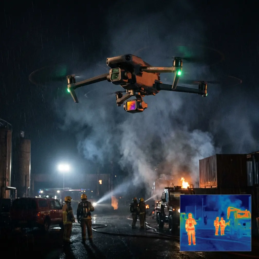
The Neo 2's omnidirectional obstacle sensing performs best when you understand its limitations. Highly reflective wet sand and mirror-calm water can create sensor blind spots. Maintain manual awareness during low-altitude passes over these surfaces.
Flight Techniques for Dramatic Coastal Footage
Mastering Subject Tracking Along Shorelines
ActiveTrack technology shines in coastal environments when configured correctly. The system's ability to distinguish subjects from complex backgrounds has improved dramatically, but operator input optimizes results.
When tracking surfers, kayakers, or wildlife along coastlines:
- Select subjects against contrasting backgrounds when initiating tracking
- Use Trace mode for following subjects along the shoreline
- Switch to Spotlight mode when you need manual flight path control
- Enable ActiveTrack 5.0's predictive algorithms for subjects moving in and out of waves
The Neo 2 maintains subject lock even when targets temporarily disappear behind waves or rocks. The system predicts trajectory and reacquires within 0.3 seconds of the subject reappearing.
QuickShots for Efficient Coastal B-Roll
Professional scouts often need establishing shots quickly. QuickShots automates complex maneuvers that would otherwise require extensive practice.
The most effective QuickShots for coastal work include:
- Dronie: Reveals coastline scope while maintaining subject focus
- Circle: Showcases geological features and wave patterns
- Helix: Combines ascending spiral for dramatic cliff reveals
- Boomerang: Creates dynamic movement around stationary coastal features
Each QuickShot completes in 15-30 seconds, allowing rapid collection of varied angles during optimal lighting windows.
Expert Insight: Combine QuickShots with Hyperlapse for time-compressed coastal transformation footage. A 2-hour tidal change compressed into 10 seconds reveals patterns invisible in real-time observation. The Neo 2's stabilization maintains smooth output even in 15 mph winds.
Hyperlapse Techniques for Tidal Documentation
Coastal scouts frequently document tidal patterns, erosion, and wildlife behavior over extended periods. The Neo 2's Hyperlapse modes enable this without requiring continuous manual flight.
For tidal documentation:
- Use Waypoint Hyperlapse to repeat exact flight paths at different tide stages
- Set intervals between 2-5 seconds for smooth motion
- Plan battery swaps into longer sequences
- Mark GPS positions for multi-day comparative shoots
The resulting footage compresses hours of coastal change into compelling sequences that communicate environmental dynamics instantly.
Optimizing Image Quality with Third-Party Accessories
ND Filter Integration for Coastal Brightness
The accessory that transformed my coastal work was a PolarPro ND filter set designed for the Neo 2's camera system. Coastal environments present extreme dynamic range challenges that internal processing alone cannot solve.
Bright sand, reflective water, and dark cliff faces often appear in the same frame. Without filtration, you sacrifice either highlight or shadow detail.
Recommended filter selection for coastal conditions:
| Condition | ND Filter | Shutter Speed Target |
|---|---|---|
| Overcast | ND4 | 1/120 at 60fps |
| Partly Cloudy | ND8 | 1/120 at 60fps |
| Bright Sun | ND16 | 1/120 at 60fps |
| Midday Glare | ND32 | 1/120 at 60fps |
| Golden Hour | ND4 or None | 1/120 at 60fps |
Maintaining shutter speed at double your frame rate ensures natural motion blur that professional editors expect.
Protective Accessories for Salt Environments
Salt spray accumulates on optical surfaces within minutes of coastal flight. A lens cleaning kit with microfiber cloths and sensor-safe solution is non-negotiable equipment.
Consider these protective measures:
- Apply hydrophobic coating to the camera lens before missions
- Carry compressed air for removing salt crystals from gimbal mechanisms
- Use silicone conformal coating on exposed circuit boards for long-term coastal use
- Store the drone in sealed cases with desiccant packets between flights
Technical Comparison: Neo 2 Coastal Performance
| Feature | Neo 2 Specification | Coastal Relevance |
|---|---|---|
| Wind Resistance | Level 5 (10.7-13.8 m/s) | Handles typical coastal gusts |
| Operating Temperature | -10°C to 40°C | Covers most coastal extremes |
| Obstacle Sensing | Omnidirectional | Critical near cliffs and structures |
| Max Flight Time | 34 minutes | Extended coastal survey capability |
| Video Resolution | 4K/60fps | Professional broadcast standard |
| Color Profiles | D-Log, HLG, Normal | Maximum post-processing flexibility |
| Transmission Range | 12 km | Offshore tracking capability |
| Hover Accuracy | ±0.1m vertical, ±0.3m horizontal | Precise positioning for repeat shots |
D-Log Configuration for Maximum Flexibility
Coastal lighting changes rapidly. Cloud shadows race across beaches. Sun angles shift dramatically during golden hour. D-Log captures maximum dynamic range for post-processing flexibility.
Configure D-Log settings before coastal missions:
- Set ISO to 100 as baseline
- Enable zebra patterns at 70% to monitor highlight clipping
- Use manual white balance to prevent auto-correction during shots
- Record in 10-bit color when available for smoother gradients
The flat D-Log image requires color grading but preserves 2-3 additional stops of highlight and shadow detail compared to standard profiles. This latitude proves essential when bright sky and dark cliff faces share the frame.
Common Mistakes to Avoid
Ignoring wind patterns near cliffs: Coastal cliffs create severe updrafts and downdrafts. The Neo 2's wind resistance rating assumes consistent airflow. Turbulent cliff zones can exceed the drone's compensation ability. Maintain minimum 10-meter clearance from vertical rock faces.
Trusting obstacle avoidance over water: Calm water surfaces can appear as open sky to downward sensors. The Neo 2 may descend unexpectedly when sensors lose ground reference. Maintain manual altitude awareness during over-water flights.
Neglecting return-to-home altitude: Coastal terrain varies dramatically. Set RTH altitude above the highest obstacle in your flight zone. A 50-meter minimum prevents collisions with cliffs or structures during automated returns.
Shooting only at midday: Harsh overhead light flattens coastal textures and creates extreme contrast. Schedule primary shoots for golden hour periods when side-lighting reveals geological detail and wave texture.
Forgetting spare propellers: Salt and sand accelerate propeller edge degradation. Micro-pitting affects efficiency and creates vibration. Carry two complete propeller sets for extended coastal missions.
Frequently Asked Questions
Can the Neo 2 fly safely in light rain or sea spray?
The Neo 2 lacks official water resistance ratings. Light mist exposure during brief periods typically causes no immediate damage, but salt spray accelerates corrosion of electrical contacts. Avoid flying when spray is visible in the air. If exposure occurs, wipe all surfaces with fresh water-dampened cloth immediately after landing, then dry thoroughly.
How does ActiveTrack perform when subjects enter and exit water?
ActiveTrack 5.0 handles water entry and exit remarkably well. The system maintains subject recognition based on color, shape, and movement patterns. Brief submersion under 3 seconds rarely breaks tracking lock. Longer submersion may require manual reacquisition. For surfing footage, initiate tracking when subjects are on their boards rather than swimming.
What transmission range should I expect over open water?
The Neo 2 achieves near-maximum transmission range over water due to minimal interference. Expect reliable video feed at 8-10 km over open ocean in optimal conditions. However, coastal cliffs and structures between pilot and drone significantly reduce range. Maintain line-of-sight for professional work, regardless of technical transmission capability.
Maximizing Your Coastal Scouting Results
Consistent coastal footage requires understanding both your equipment and environment. The Neo 2 provides professional-grade capabilities in a portable package that handles extreme conditions when operated thoughtfully.
Build systematic pre-flight checklists. Document successful settings for specific locations. Review footage immediately after flights to identify technique improvements while conditions remain fresh in memory.
The combination of intelligent flight modes, robust obstacle avoidance, and flexible color science makes the Neo 2 an exceptional tool for serious coastal documentation work.
Ready for your own Neo 2? Contact our team for expert consultation.