How Neo 2 Fits Remote Vineyard Monitoring When the Terrain W
How Neo 2 Fits Remote Vineyard Monitoring When the Terrain Won’t Cooperate
META: A field-based look at using Neo 2 for remote vineyard monitoring, with lessons from forestry pest surveillance, grid-based flight planning, visual tracking, and changing weather conditions.
Remote vineyards create a very specific kind of problem. The vines may sit across steep edges, broken access roads, irregular parcels, and long rows that look manageable on a map but consume hours once boots hit the ground. By the time a team finishes one pass, conditions have changed. Light shifts. Wind builds. A suspicious patch of canopy no longer looks the same. And if the workflow still depends mostly on manual observation and spreadsheets, the result is familiar: gaps, delays, and weak follow-through.
That is why Neo 2 makes sense in this niche—not as a flashy camera drone, but as a practical tool for repeatable visual monitoring in places where terrain and distance punish old methods.
The most useful way to understand this is not through generic drone marketing. It comes from a different but closely related field problem: aerial monitoring for forestry pest outbreaks. One reference case describes a monitoring framework built for large forest areas where disease pressure is serious, manpower is stretched, and early discovery matters. The operational logic translates surprisingly well to vineyards, especially remote ones.
The real bottleneck in remote crop monitoring is not flying. It is coverage and follow-up.
In the forestry reference, the old model relied mainly on manual ground inspection, with some drone imaging added here and there. The weakness was not the absence of flying itself. The weakness was the lack of visualization and closed-loop tracking. That detail matters. A drone can capture images all day and still fail to improve decisions if the operation cannot connect sightings, locations, revisit plans, and treatment progress.
Remote vineyard managers face the same trap.
A field scout notices irregular vigor near the upper edge of Block C. Another worker flags what may be stress near a drainage break two days later. The owner wants proof before dispatching labor. Then weather interrupts access for a week. Without a systemized aerial view, the whole process turns into fragmented memory.
The forestry material puts this plainly: traditional methods struggle with “hard to cover, hard to manage, hard to verify.” That three-part problem is not unique to woodland pest work. It is exactly what happens in vineyards spread across difficult topography.
Neo 2’s value starts there. Its small size and fast deployment make it realistic to fly often, not just during planned survey days. Frequent short flights are usually more valuable than occasional major missions, because crop stress develops incrementally. A single visual baseline captured at the right angle and repeated under a consistent route gives managers something they rarely get from road-based inspection: a structured comparison.
Why grid-style thinking matters more than raw flight time
One of the strongest ideas in the source material is “grid-based professional aerial coverage.” In the forestry context, this was used to support broad, province-level screening without terrain limitations. That principle is highly relevant to remote vineyard blocks.
Vineyard monitoring often becomes too informal. Operators freestyle a route, glance at a few rows, swing past a suspected patch, and head home. The footage looks useful, but next week’s flight does not match it. Angles differ. Altitude changes. Blind spots shift. Comparison becomes subjective.
Grid-based flight planning fixes that.
For vineyards, that does not mean turning every mission into a full photogrammetry exercise. It means dividing the property into repeatable monitoring units: slope sections, row groups, edge corridors, water-stress zones, and known problem pockets. Neo 2 can then be flown along a repeatable pattern so that each pass answers the same agronomic questions. Which block looks thinner than last week? Which outer rows show asymmetry? Has the canopy gap near the rocky shoulder expanded? Is there drift damage along the boundary road?
This is where obstacle avoidance and stable flight behavior matter in practical terms. Vineyards in remote areas rarely offer clean open air. You get trellis ends, shelter trees, utility lines, windbreaks, terraces, and sudden elevation changes. A drone that helps the operator maintain a predictable route without turning each pass into a high-stress manual exercise is far more useful than one that looks good on a spec sheet.
Lessons from a much bigger landscape
The reference case includes a striking number: Anhui Province was described as having 66.477 million mu of forest land, accounting for 31.7% of total land area. The scale is obviously far beyond a vineyard operation. But that is exactly why the comparison is useful.
If aerial monitoring is being framed as necessary for landscapes that large, it highlights a principle remote growers should pay attention to: once an environment becomes too extensive, too fragmented, or too difficult to traverse efficiently, modern monitoring stops being optional and becomes structural.
In forestry, the concern was early detection and early response. The source explicitly emphasized discovering outbreaks sooner and handling them sooner. Vineyards may be tracking vine vigor, disease pressure, irrigation anomalies, storm damage, wildlife intrusion, or row-by-row canopy irregularity rather than pine wilt disease, but the operating logic is the same. Delay compounds cost. Weak visibility delays action. Inaccessible zones become blind zones.
Neo 2 is especially suited to this kind of recurring visibility task because it lowers the friction of getting airborne. That may sound simple, but it changes behavior. Teams are more likely to perform one extra check before harvest, one quick look after wind, or one verification pass over a hard-to-reach slope if the aircraft can be launched quickly and flown without a full field-survey setup.
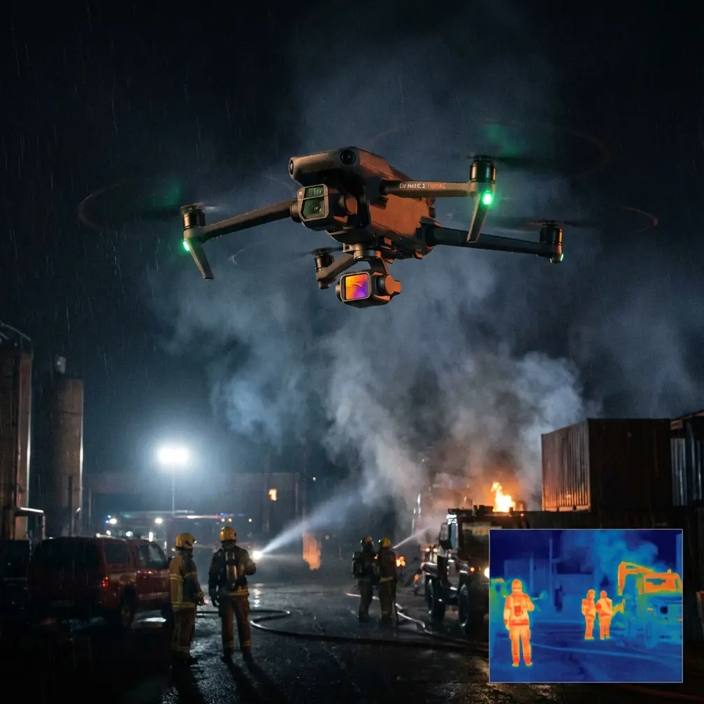
Mid-flight weather is where theory meets the real vineyard
On one remote vineyard run, the morning started calm enough for a clean first pass over upper terraces. The goal was straightforward: compare canopy density between the exposed ridge rows and the lower rows near a drainage line. Ten minutes in, the weather turned. Not dramatic, just typical hill-country instability. Wind pressed from the western edge, and the light flattened under fast-moving cloud. That is the kind of moment when a monitoring mission either becomes useful or collapses into shaky footage and guesswork.
Neo 2 handled the change in the way a field operator actually cares about. It held a usable visual line on the rows, stayed predictable through the gusts, and let the mission shift from broad overview to targeted verification. Instead of forcing a full route completion, I shortened the pass, used subject tracking to stay aligned with a utility vehicle moving along the service lane, and then repositioned for closer looks at the ridge edge where canopy irregularity first appeared.
That sequence matters because remote vineyard flights rarely unfold exactly as planned. The weather, the terrain, and the field observations interact. A drone that can transition from planned route work to quick inspection is more valuable than one that only shines in ideal conditions.
ActiveTrack and subject tracking are often discussed as creator features. In agricultural monitoring, they can have a quieter but very practical role. Tracking a worker, ATV, or service vehicle through a block can help document ground-truth observations relative to canopy conditions. If a scout stops to inspect a patch, the drone view preserves context: surrounding rows, slope position, shadow pattern, and distance from boundaries or irrigation infrastructure. That makes later review much more actionable.
Visual evidence is only useful if it can be verified later
Another operational issue from the forestry material deserves attention: it noted the difficulty of verifying under-reporting or incomplete reporting when traditional methods dominate. Again, this translates cleanly to vineyards.
When a remote manager asks whether a suspected issue really spread across multiple rows or whether it was isolated, verbal field notes are weak evidence. Aerial footage tied to a repeatable route is stronger. It creates a record that can be reviewed by owners, consultants, viticulture managers, and contract crews without relying on memory.
Neo 2 helps here in two ways.
First, it makes image capture frequent enough to establish continuity. A single flight is anecdotal. A sequence of flights becomes operational evidence.
Second, the footage is inherently visual and intuitive. The forestry source criticized low-efficiency spreadsheet management because it is not intuitive and is difficult to analyze statistically. In vineyard terms, this is the difference between reading a note that says “possible weaker growth on upper eastern rows” and actually seeing the shape, extent, and boundary behavior of that weakness from above.
If you want help designing a repeatable remote-vineyard flight workflow around Neo 2, this field support line is useful: https://wa.me/85255379740
QuickShots and Hyperlapse are more useful than they first appear
Some readers will dismiss QuickShots and Hyperlapse as content-creation tools. That is too narrow.
In a remote vineyard setting, QuickShots can standardize short visual captures around landmarks such as pump houses, access gates, windbreak corners, or isolated stress zones. The value is not cinematic flair. It is consistency. A repeatable orbital or pull-away shot around the same point each week can reveal pattern change far better than random handheld-style maneuvering.
Hyperlapse also has a place, especially during weather transition or operational logging. If clouds are moving across a slope and you are trying to understand whether a canopy pattern is actually structural or just a light artifact, a compressed time sequence can clarify the difference. That may save a false alarm and a wasted dispatch.
For more analytical teams, D-Log can be useful when consistent post-processing matters. If you are comparing visual material collected under changing light over multiple visits, preserving more flexible image information can support better normalization in review. That is not a replacement for multispectral analysis or formal agronomic sensing, but it improves the quality of visual interpretation when conditions are uneven.
Why forestry-style closed-loop management should influence vineyard operations
The forestry reference was explicit that existing methods lacked closed-loop tracking. This is probably the most overlooked takeaway for vineyard managers.
Closed-loop monitoring means a flight is not the end of the task. It starts a chain:
- detect a visual anomaly,
- mark its position within a grid or block structure,
- assign field verification,
- document the result,
- revisit after intervention or after a defined time interval.
Neo 2 fits this loop because it is light enough for routine use but capable enough to produce evidence that can be revisited. A remote vineyard does not need every flight to be a full survey event. It needs a dependable visual record that can be tied to action.
This is where the source material’s emphasis on early discovery and response becomes operationally significant. In forestry, delayed recognition can let an outbreak spread. In vineyards, delayed recognition can mean wider stress exposure, inefficient labor deployment, or missed timing for intervention. The principle is identical: the monitoring tool matters less than the system it enables.
A practical Neo 2 workflow for remote vineyard blocks
The best remote-vineyard use of Neo 2 usually looks like this:
Start with a base map of the property divided into monitoring zones. Think in grids, terraces, and high-risk edges rather than one undifferentiated estate.
Fly short, repeatable missions over priority zones first. These often include upper slopes, road-access margins, low drainage points, and historically inconsistent rows.
Use obstacle avoidance to maintain safer, lower-stress passes around trellis edges, trees, and terrain breaks.
Switch to ActiveTrack or subject tracking when a scout or vehicle identifies something worth grounding in context.
Capture a mix of wide establishing footage and closer verification views. QuickShots can standardize landmark-based review.
If light is unstable, lean on D-Log for more flexible footage review later.
After the flight, don’t just archive video. Tag observations by block, severity, and revisit date. That is the closed loop the forestry case showed was missing in older workflows.
The bigger takeaway
The strongest lesson from the reference material is not simply that drones help. It is that aerial monitoring becomes truly valuable when it solves three old problems at once: incomplete coverage, weak verification, and poor follow-up.
Remote vineyards suffer from all three.
Neo 2 is a good fit not because it turns a grower into a survey department, but because it makes disciplined visual monitoring realistic at the scale of everyday operations. It can cover awkward terrain that slows ground teams, support grid-based repeatability, document conditions in a way that is easy to verify later, and stay useful even when the weather shifts halfway through a mission.
That is the difference between collecting footage and running a monitoring system.
Ready for your own Neo 2? Contact our team for expert consultation.