Neo 2 for Mountain Venues: A Practical Field Guide
Neo 2 for Mountain Venues: A Practical Field Guide for Reliable Coverage
META: Learn how to use Neo 2 for mountain venue monitoring with practical tips on obstacle avoidance, ActiveTrack, QuickShots, D-Log, Hyperlapse, and battery management in demanding alpine conditions.
Mountain venues punish lazy flight planning.
A drone setup that feels effortless at a flat open field can turn unpredictable once you add ridgelines, tree edges, changing wind direction, cold batteries, patchy GNSS reception, and guests moving between shaded structures and bright snow. If you are using the Neo 2 to monitor a venue in mountain terrain, the real job is not simply getting airborne. The real job is building a repeatable workflow that protects the aircraft, captures usable footage, and avoids wasting precious battery on indecision.
This guide is built for that exact scenario.
Rather than treating the Neo 2 like a generic camera platform, I want to frame it as a compact operational tool for venue oversight: checking access roads, documenting crowd flow, monitoring lift-adjacent gathering zones, inspecting temporary event setups, and collecting cinematic assets for recap edits without changing aircraft or rebuilding your whole shot plan. The value comes from how you use core functions together. Obstacle avoidance changes route confidence. Subject tracking changes how you follow moving staff or vehicles. QuickShots and Hyperlapse give you structured coverage patterns. D-Log changes what you can recover later when mountain light gets harsh.
And if you fly in the cold, battery discipline is the difference between a calm morning and a forced early landing.
Start with the mountain, not the menu
The most common mistake I see is pilots launching before they have identified the venue’s actual risk geometry.
At a mountain site, the threats are rarely dramatic at first glance. They are subtle. A gondola cable line outside your immediate framing. A stand of dark evergreens that confuses depth perception near sunset. A retaining wall below a snowbank that disappears in flat light. A narrow service road where vehicles emerge quickly from behind structures. The Neo 2’s obstacle avoidance system helps, but it is not a substitute for building a route around the environment you actually have.
Before the first flight, walk the venue and break it into three categories:
- open and low-risk areas for establishing shots
- transitional corridors where trees, poles, roofs, or cables tighten the flight envelope
- no-loiter zones where wind funneling or guest movement makes hovering inefficient
This matters because obstacle avoidance works best when it is supporting your plan, not inventing one mid-flight. In mountain venues, route certainty saves more battery than speed ever will.
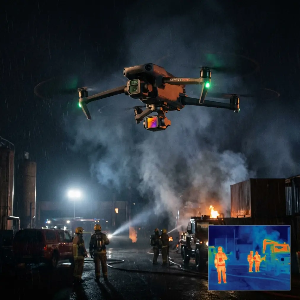
Why obstacle avoidance matters more in alpine venues
Obstacle avoidance is often discussed like a convenience feature. In mountain work, it is an operational stabilizer.
Here is why. Venue monitoring often requires repeated passes over the same spaces: parking ingress, guest arrival areas, stage build zones, food courts, ski-school meeting points, or trailhead congregation areas. If your first pass reveals branch encroachment, lighting truss overhang, or uneven terrain that changes your line of sight, obstacle sensing gives you an added margin while you refine the route on subsequent passes. That reduces the chance of overcorrecting manually when terrain depth is hard to judge.
Its real significance is not just crash prevention. It helps maintain shot continuity under pressure.
When you are tracking movement through a mountain venue, the camera needs to stay useful while your attention splits between framing, telemetry, people on the ground, and changing wind. Obstacle avoidance buys cognitive space. That is especially valuable if you are orbiting a lodge, moving along the edge of a treeline, or transitioning from open snowfield into a denser structure zone. In practical terms, it can help you keep a smoother line and preserve footage that would otherwise be ruined by abrupt stick inputs.
Still, use it with discipline. I do not trust any sensing system blindly around thin branches, wires, or low-contrast edges in mixed snow and shadow. In those conditions, treat avoidance as backup, not permission.
Use ActiveTrack and subject tracking where they actually help
Subject tracking and ActiveTrack can be excellent at mountain venues, but only if you choose the right subject and the right background.
The strongest use case is not random guest activity. It is predictable movement: a venue manager walking the perimeter, a utility cart making a supply run, a ski patrol unit crossing a defined corridor, or an event staff lead moving between checkpoints. These are clean, operationally meaningful subjects. Tracking them can show how the site functions in real time.
That has two advantages.
First, it produces footage with context. A tracking shot of staff moving from the main lodge to a secondary activity zone tells a story about scale, access, and venue flow. Second, it reduces pilot workload during moments when manual framing would otherwise become fussy, especially on slight uphill or downhill grades where background compression can make distance judgment harder.
But mountain backgrounds can interfere. Bright snow, dark forest edges, reflective roofs, and moving crowds all complicate subject isolation. If the subject blends into the environment, tracking confidence drops. In practice, I start with short ActiveTrack segments in open areas before using it near structures or terrain breaks.
A good rule: if you cannot instantly identify the subject with your own eyes against the background, do not expect the aircraft to hold that lock gracefully for long.
QuickShots are not just for pretty edits
QuickShots tend to be pigeonholed as social-style automation. That undersells them.
For venue monitoring, QuickShots can function like a structured capture routine. A repeatable reveal from behind a lodge roofline, a short pullback over the arrival area, or an orbit around a central event structure can create a consistent visual record across multiple days of setup and operation. If you are documenting change over time, consistency beats improvisation.
The operational significance is straightforward: automation can remove small piloting variations that make before-and-after comparisons less useful.
Let’s say you are monitoring a mountain event village over three days. One morning you want to show the stage build, another day the crowd footprint, and on the final day the teardown pattern. Running a similar QuickShot profile each time gives you a controlled visual baseline. That helps both editorial review and operational review. You can compare spacing, traffic patterns, snow condition around footpaths, or placement of temporary structures without wondering whether the visual difference is just pilot drift.
Use QuickShots early in the flight, when battery voltage is strongest and winds are usually calmer. Automated moves are most useful when the aircraft is performing predictably.
Hyperlapse is a venue intelligence tool when used properly
Hyperlapse is often treated as a cinematic extra. In mountain venues, it can be a deceptively useful monitoring method.
A well-planned Hyperlapse sequence can show how clouds, traffic, shadows, queue lines, snow glare, and activity density evolve over a fixed period. That is not just attractive footage. It is information. At venues where weather moves quickly, understanding how light and movement change over even 20 to 30 minutes can influence when you schedule core coverage flights or when you reposition staff.
The reason this matters in the mountains is simple: the venue you launch over at 9:00 is not the same venue you are flying over at 9:30. Shadow creep from surrounding slopes can darken one section while another becomes brutally reflective. Guests may cluster away from wind-exposed decks and compress into sheltered walkways. A Hyperlapse from a safe, well-cleared position can make those shifts obvious.
I recommend using it sparingly and intentionally. Pick one high-value overview angle, confirm obstacle clearance in every direction, and monitor wind trend before committing. A rushed Hyperlapse in unstable mountain air is a poor bargain.
Why D-Log earns its place in snow and high-contrast terrain
If you monitor mountain venues long enough, you eventually stop trusting what looks fine on the screen.
Snowfields, reflective surfaces, dark evergreens, shaded valleys, and bright sky can all exist in the same frame. That is exactly where D-Log becomes useful. Not because it is fashionable, but because it gives you more room when the scene contrast exceeds what a normal profile can comfortably hold.
The operational significance of D-Log is easiest to understand after the flight. You may have a shot where the guest deck is in deep shade while the ridgeline behind it is catching full sun. In a standard profile, you often end up sacrificing one side of the image. With D-Log, you preserve more flexibility for balancing the scene in post so the footage remains informative rather than merely dramatic.
That matters if the content has multiple jobs. A mountain venue operator may want both polished promotional edits and practical visual records of setup, circulation, or site conditions. D-Log gives you a stronger master file for both.
Just be honest with yourself: if your turnaround is immediate and you do not plan to grade the footage, a simpler profile may be more efficient. Use D-Log when the lighting justifies it and your workflow can support it.
My field battery tip: manage warmth before launch, not after the warning
Here is the battery lesson that usually gets learned the annoying way.
Cold-weather mountain pilots often focus on total remaining percentage and forget about battery behavior under load. A pack that appears comfortable before takeoff can sag quickly once you climb, fight wind, or ask for repeated directional changes in low temperature. By the time you see performance soften, you are already negotiating with the day.
My rule in the field is simple: keep the next battery warm on your body, inside an inner jacket pocket or insulated pouch, until just before launch. Do not leave spare packs sitting on a cold table, tailgate, or metal case while you finish planning the shot. A cold battery wastes confidence. A warm battery gives you a more predictable opening phase, which is where most mountain venue flights set their tone.
The second part of that tip is equally important: avoid starting the mission with an aggressive climbout. Give the battery a short, moderate opening segment. Let it settle into the work instead of demanding maximum output immediately. That reduces the chance of early voltage drop and helps you spot abnormal behavior while you still have options.
This is especially relevant when you are using modes like ActiveTrack or running repeated QuickShots. Those automated movements feel efficient, but they still ask the aircraft to maintain stable performance. If the battery is cold and the air is dense with gusts, the system is doing more than the pilot may realize.
I also advise ending mountain flights earlier than your instincts suggest. In flatland conditions, you might tolerate a narrower reserve. Around venues with elevation changes, gust channels, and limited recovery points, a larger reserve is not caution for caution’s sake. It is planning for the route home.
A simple mission template for Neo 2 at mountain venues
If I were assigning a repeatable Neo 2 workflow to a venue team, I would keep it tight:
First flight: establish the site and check conditions. Use a clean overview route in the most open section of the venue. Confirm wind behavior, GNSS confidence, and visibility near terrain edges. No fancy moves yet.
Second flight: collect structured coverage. Run your selected QuickShots or manual passes for the main lodge, event village, or access route. This is where repeatability matters most.
Third flight: track operations. Use subject tracking or ActiveTrack for one meaningful movement pattern, such as staff transit, a shuttle route, or a patrol path.
Fourth flight if needed: capture change over time. Use Hyperlapse from a proven safe position, or gather D-Log shots during the best light transition if editorial value matters.
This sequence works because it respects battery efficiency and risk progression. You learn the environment before asking the aircraft to do precision work inside it.
One more thing: communication beats hero flying
Venue monitoring is rarely a solo intelligence problem. The best results come when the pilot gets one clean briefing from the people on the ground.
Ask where guests are expected to bunch up. Ask which service roads are active. Ask which structures went up since yesterday. Ask whether any lift equipment, cables, or temporary signage changed the safe route. Five minutes of human context often saves one battery cycle and a lot of unnecessary stress.
If you need a quick operational sounding board before building a mountain venue flight routine, you can reach out through this field planning chat.
The Neo 2 is most effective when treated as a practical observation tool, not a toy and not a magic machine. Its obstacle avoidance can reduce risk in cluttered alpine spaces. ActiveTrack and subject tracking can turn moving venue operations into readable visual information. QuickShots can create repeatable documentation. Hyperlapse can reveal environmental change that static photos miss. D-Log can preserve difficult snow-and-shadow scenes that would otherwise fall apart.
None of that replaces judgment. But in mountain venues, good judgment backed by the right feature set is exactly what keeps coverage consistent.
Ready for your own Neo 2? Contact our team for expert consultation.