Neo 2 for Mountain Solar Farm Monitoring
Neo 2 for Mountain Solar Farm Monitoring: A Technical Review from the Field
META: A practical technical review of using Neo 2 for mountain solar farm monitoring, covering obstacle avoidance, subject tracking, ActiveTrack, D-Log, QuickShots, Hyperlapse, and changing weather performance.
Mountain solar farms expose every weakness in a drone workflow.
You are dealing with uneven terrain, shifting wind, glare off the panels, narrow service roads, and inspection windows that rarely stay predictable for long. A drone that feels effortless over a flat test field can become frustrating fast once the site climbs, twists, and pushes weather through the valley halfway into the mission. That is why Neo 2 is worth looking at through an operational lens rather than a spec-sheet lens.
I approached this review from the perspective of a visual operator with inspection discipline. My background is photography, so I care about image behavior and framing. But on a mountain solar site, artistic instincts only matter if the aircraft can hold position, track consistently, and recover gracefully when conditions change. Neo 2 stands out not because of one flashy feature, but because a handful of functions work together in ways that actually reduce workload on a difficult site.
Why mountain solar farms are a different kind of drone job
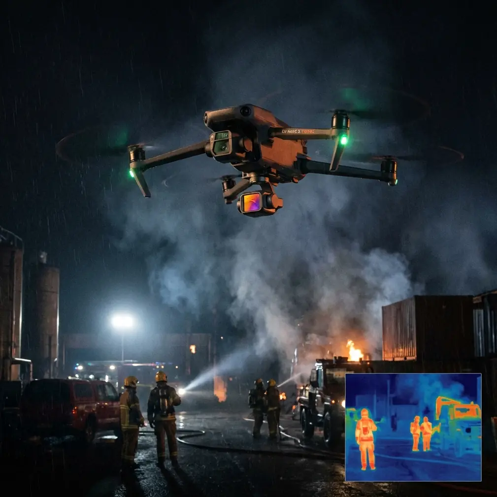
A ground team inspecting a mountain array often needs more than pretty aerials. They need visual confirmation of row conditions, access road status, edge encroachment, drainage issues, fencing gaps, and signs that a string of panels may need a closer follow-up. Even when thermal work is handled by another platform, routine visual monitoring still has huge value. The challenge is getting that coverage efficiently without spending the whole flight fighting terrain and light.
This is where obstacle avoidance becomes more than a comfort feature. On a mountain installation, the hazards are not only obvious objects like poles, wires, and utility huts. The terrain itself creates deceptive closure rates. A drone that seems to be cruising safely can suddenly find itself with a rising slope behind the camera, a stand of trees near the perimeter, or a maintenance shed that enters the return path as the operator repositions. With Neo 2, obstacle awareness changes the tone of the mission. You spend less mental energy on basic conflict avoidance and more on inspection judgment: What exactly am I seeing on that upper row? Is that discoloration dirt, shade pattern, or a cracked surface?
That operational shift matters.
ActiveTrack and subject tracking are more useful here than they sound
Many pilots hear “subject tracking” and think of sports, cyclists, or social media footage. On a solar farm, the value is more practical. If you are following a maintenance cart along a service lane, documenting technician movement between array sections, or keeping a consistent visual relationship with a designated corridor, ActiveTrack can cut down on constant stick corrections. Instead of manually rebuilding composition every few seconds, you can let the system maintain the target while you monitor the broader environment.
The same goes for subject tracking during terrain transitions. Mountain sites often force a drone to move laterally while the ground elevation changes underneath it. That can make framing inconsistent, especially when a vehicle or technician is moving through switchback roads. Neo 2’s tracking tools help preserve continuity. For reporting, that continuity is not cosmetic. It makes the footage easier to review because the viewer is not distracted by jerky reframing or uneven follow distance.
There is also a safety benefit. The less time your attention is trapped in tiny manual adjustments, the more attention you can spare for wind changes, birds, tree edges, and reflective glare off the panel field.
Mid-flight weather change: where the aircraft either proves itself or doesn’t
The most revealing part of my evaluation came when the weather shifted during flight.
The morning began with stable light and manageable airflow. Then cloud cover pushed over the ridge faster than expected. That changed two things at once: wind behavior and scene contrast. Gusts started curling through the open side of the valley, and the polished surfaces of the panels went from bright reflective patches to flatter, lower-contrast shapes under intermittent shade.
This is exactly the kind of transition that can upset a casual workflow. On some drones, the footage starts to feel nervous before the pilot fully registers why. You see tiny corrections stack up. Tracking becomes less convincing. The aircraft may remain flyable, but your confidence in the footage drops.
Neo 2 handled that shift in a way I would call operationally credible. The obstacle avoidance layer remained especially relevant once the wind pushed the aircraft slightly off the line I originally intended near a perimeter section with taller vegetation. The tracking tools also stayed useful because the aircraft did not immediately fall into unstable framing behavior when the maintenance route dipped behind a contour.
The bigger point is not that changing weather disappeared as a factor. It never does in the mountains. The point is that Neo 2 gave enough stability and automation support to keep the mission productive after conditions changed. That is the difference between completing a useful inspection pass and bringing back footage that technically exists but takes too much interpretation to trust.
D-Log matters more on solar sites than many operators expect
If you monitor solar farms regularly, you know panel surfaces create one of the hardest visual environments for small drones. Bright sky, dark equipment, metallic structures, deep ground shadows, and reflective surfaces can all appear in the same frame. Standard color profiles may look punchy right away, but they can clip highlights or bury subtle detail in ways that reduce the value of your footage for analysis and reporting.
This is where D-Log becomes operationally significant.
Using D-Log gives you more room to manage those contrast extremes in post. On a mountain solar site, that flexibility is not a luxury reserved for filmmakers. It can help an inspection team separate surface contamination from pure reflection, identify whether a dark region is actual soiling or just passing cloud shadow, and maintain more detail in support structures around the array edges. If your flight includes transitions from open sun to ridge shadow, that extra grading latitude can keep a single mission visually coherent instead of forcing you to accept crushed blacks in one section and blown highlights in the next.
For my workflow, D-Log also made a difference when the weather changed mid-flight. As the clouds rolled in, the scene flattened. A flatter profile preserved more adjustment room, which made it easier later to normalize clips captured under shifting conditions. The result was not just nicer footage. It was more consistent footage, and consistency is critical when teams compare one inspection run to another over time.
QuickShots and Hyperlapse are not just for marketing departments
These modes are often misunderstood on industrial sites.
QuickShots can be genuinely useful for standardized overviews. If a site manager wants repeatable visual summaries of an inverter station, a sub-area boundary, or an access route entering the array, an automated camera move can create a recognizable reference pattern. That matters when multiple stakeholders review footage and want immediate spatial context. A repeatable orbit or pull-away can communicate site condition faster than an improvised manual move.
Hyperlapse has value too, particularly for environmental context. On a mountain solar farm, weather and shadow movement are part of the operational story. A Hyperlapse sequence can show cloud travel across rows, changing exposure on different sections of the site, or traffic flow along maintenance roads. This is useful when explaining why certain panels looked normal during one pass and unusually dim ten minutes later. It also helps with stakeholder communication because it compresses site dynamics into something easy to interpret.
Neither feature replaces detailed inspection passes. But both can support documentation in ways many technical teams overlook.
Obstacle avoidance in the real geometry of a mountain site
Obstacle avoidance is easy to praise in abstract terms. The real question is whether it helps in the specific geometry of mountain solar infrastructure.
That geometry is messy. Array rows may be stepped. Access roads curve tightly. Vegetation often grows unevenly at perimeter lines. Drainage channels create abrupt depressions. Small utility buildings appear where you least want to recalculate a path manually. In these environments, avoidance systems are not there to let a pilot become careless. They are there to make cautious flying more sustainable over long missions.
On Neo 2, that support is especially valuable during low-to-moderate altitude passes where the operator is balancing line-of-sight awareness, camera framing, and site interpretation. If you are documenting storm runoff near the lower edge of an array while also preserving visual orientation to the road and the slope, avoidance support can reduce the chance of a workload spike at exactly the wrong moment.
That becomes even more relevant after a weather shift. Gusting wind does not always create dramatic drift. Sometimes it causes smaller, repeated corrections that slowly increase task saturation. The aircraft’s obstacle awareness helps keep those corrections from turning into pathing mistakes near trees, poles, or structures.
Where Neo 2 fits in a solar monitoring workflow
I would not position Neo 2 as a one-drone answer for every form of utility inspection. That is not the right test. The better question is whether it fits a meaningful slice of mountain solar monitoring with less setup friction and more dependable output than a stripped-down recreational approach.
On that question, the answer is yes.
Neo 2 works well when the mission calls for:
- visual condition monitoring of panel blocks
- progress documentation after maintenance activity
- route checks along access roads and perimeter fencing
- repeatable overview captures for site reporting
- dynamic footage of moving crews or vehicles using ActiveTrack
- visual records under variable mountain light where D-Log helps preserve flexibility
Its strength is not brute specialization. Its strength is the way obstacle avoidance, subject tracking, and flexible image capture combine into a workflow that stays usable when the site gets complicated.
That combination is also friendly to mixed teams. A dedicated pilot can exploit the deeper features, while a content-minded site manager or communications lead can still get structured output through QuickShots or Hyperlapse without degrading the mission into random cinematic flying.
Practical advice for operators using Neo 2 on mountain arrays
A few habits make a real difference.
First, plan the route around terrain, not just around the panel map. The mountain will influence signal feel, wind exposure, and visual perspective more than the array drawing suggests.
Second, use tracking deliberately. ActiveTrack is excellent for following a maintenance vehicle or keeping a technician centered, but on dense infrastructure edges you still need to think ahead about the path, especially if the route narrows near vegetation or structures.
Third, shoot key passes in D-Log when lighting is inconsistent. If the weather changes, you will be glad to have the extra correction room.
Fourth, reserve QuickShots and Hyperlapse for purposeful moments. An establishing sweep at the start of the inspection and a weather-context Hyperlapse near the end can add a lot of reporting value without wasting battery time.
Fifth, treat obstacle avoidance as backup, not permission. On mountain solar sites, disciplined route selection still matters more than any automation layer.
If you are building a monitoring workflow for difficult terrain and want field-oriented input rather than generic brochure language, you can message a drone specialist directly.
Final assessment
Neo 2 makes sense for mountain solar monitoring because it addresses the actual friction points of that job.
Obstacle avoidance helps when terrain and infrastructure compress your margin for error. ActiveTrack and subject tracking reduce manual workload during moving follow tasks and corridor documentation. D-Log gives inspection footage more resilience under harsh contrast and changing cloud cover. QuickShots and Hyperlapse, used intelligently, improve repeatability and context instead of just dressing up the output.
The most convincing part of the experience was not a single feature demo. It was the way the drone remained useful after the weather turned mid-flight. That is a better test than any calm-day showcase. Mountain sites are rarely static, and neither are the missions flown over them. A drone that stays composed when light changes, wind picks up, and the terrain keeps demanding attention earns its place.
Neo 2 does.
Ready for your own Neo 2? Contact our team for expert consultation.