Neo 2 Mapping Tips for Remote Solar Farms: A Road
Neo 2 Mapping Tips for Remote Solar Farms: A Road-Survey Mindset That Actually Works
META: Learn how to use Neo 2 for remote solar farm mapping with practical flight-altitude guidance, safer route planning, and inspection workflows inspired by proven UAV road survey methods.
If you map remote solar sites long enough, you realize the hardest part is rarely the flying. It is getting reliable visual coverage across a long, exposed corridor of access roads, panel blocks, drainage edges, cable routes, and terrain transitions without wasting time or putting crews in awkward places.
That is why an older road-survey UAV framework still matters here.
A 2016 road investigation solution from Tianjin Tengyun Zhihang laid out the operational pain points that traditional survey teams face: manual route inspection creates heavy workloads, low efficiency, and long inspection cycles; bad weather such as ice, flooding, earthquakes, and landslides disrupts fieldwork; mountainous or hard-to-reach areas raise danger; satellite revisit cycles can be too slow and resolution too limited; and manned aircraft bring complex operations and high operating burden. Even though that document was written for roads, the logic transfers almost perfectly to remote solar farm mapping.
Solar farms are not highways, but they share the same field reality: long linear features, repeated monitoring tasks, large ground area, access constraints, and a need for fast visual context. If you are flying a Neo 2 in this environment, you should think less like a casual camera pilot and more like a corridor-survey operator.
Why the road-survey model fits solar farm work
Most solar farm flight problems come from scale.
A remote site may include perimeter fencing, service roads, inverter pads, drainage channels, vegetation growth zones, security paths, and terrain outside the array that affects runoff or access. If you try to cover all that with improvised low flights, you end up with fragmented data, uneven image overlap, and too many battery swaps for too little insight.
The road-survey document identifies a key weakness of manual inspection: teams struggle to maintain global awareness of progress and safety across long work zones. That same issue shows up at solar sites when crews inspect row by row on foot or by vehicle. They may catch a local issue, but they often miss how one problem connects to the wider site. A washout on an access road can be linked to drainage failure upstream. A recurring shadow pattern can trace back to vegetation encroachment outside the immediate panel block. A damaged fence line can change vehicle routing for maintenance teams.
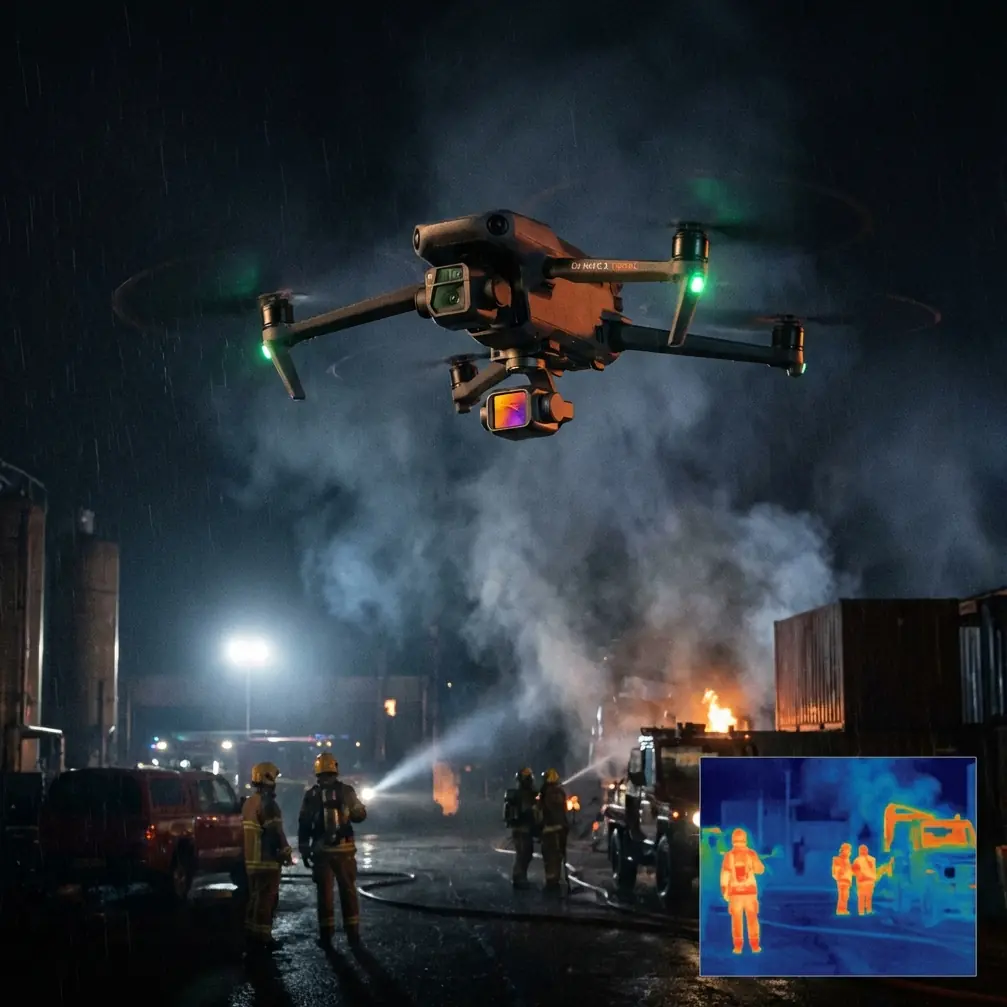
This is where Neo 2 becomes useful, even if it is not a heavy survey platform. It can give you quick, repeatable aerial context when deployed with discipline.
Start with the mission, not the camera mode
For remote solar farms, I like to split Neo 2 operations into three practical mission types:
- Baseline site overview
- Linear corridor checks
- Targeted anomaly follow-up
That structure mirrors the road-survey mentality in the source material. The original solution emphasized using a quadcopter iFly D1 with a high-definition professional camera to capture real-time images and video at the construction site. The operational significance is straightforward: real-time visual acquisition shortens the delay between seeing a problem and acting on it. On a solar farm, that means you can validate road access, standing water, panel soiling patterns, erosion, or edge encroachment while the field team is still on site.
The second useful detail is the document’s emphasis on construction safety monitoring for long, strip-like work areas. Solar plants have their own version of this geometry. They are often organized in elongated rows and service corridors, not compact urban parcels. That affects flight planning more than many pilots expect. Long sites tempt operators into flying too low for too long. That creates unnecessary obstacle pressure and weakens consistency.
The most useful altitude insight for Neo 2 on solar farms
If you only take one thing from this article, make it this:
For general remote solar farm mapping with Neo 2, start your overview passes around 35 to 50 meters above ground level, then adjust based on row spacing, terrain variation, and obstacle density.
Why this band?
At that height, you usually get a better balance between three competing needs:
- enough field of view to understand multiple panel rows at once
- enough detail to spot obvious access, drainage, and vegetation issues
- enough vertical separation to reduce constant micro-corrections around poles, fencing, uneven berms, and site furniture
Go lower than that for your primary overview, and the mission often becomes too twitchy. You spend more attention dodging local clutter than collecting consistent imagery. Go much higher, and you may lose the visual cues that matter for maintenance planning, especially around service roads, washouts, perimeter intrusion paths, or row-end defects.
Here is how I typically break it down:
20 to 30 meters
Use this for targeted inspection, not broad mapping. Good for specific row-end issues, inverter pads, drainage crossings, and close visual checks where obstacle avoidance and precise framing matter more than total site coverage.
35 to 50 meters
This is the sweet spot for general overview work. It captures the relationship between panel blocks, access roads, and surrounding terrain. If the site is remote and the goal is fast decision support, this is often the most productive altitude range.
60 meters and above
Useful when you need site-level context, such as checking how roads, stormwater channels, or adjacent terrain connect across a wide footprint. But do not rely on this alone if the goal is maintenance-oriented mapping. It can flatten too much detail.
The road-survey source criticized satellite imagery for slow revisit cycles and limited resolution. That matters here because solar operators often need fresh context after weather events or before maintenance mobilization. Neo 2 at 35 to 50 meters gives you something satellites often cannot: timely, operator-controlled, task-specific imagery.
Fly the perimeter before you map the core
Remote solar farms can be deceptive. The arrays themselves may look uniform, but the real operational trouble often lives at the edges.
Before diving into panel rows, run a perimeter-first flight. Think like a road survey team inspecting a corridor. Follow:
- fence lines
- access tracks
- drainage ditches
- culverts
- slope transitions
- staging areas
- gates and turnarounds
This is where obstacle avoidance earns its keep. On these flights, Neo 2’s ability to handle clutter around fencing, poles, and edge vegetation can reduce pilot workload, especially when the site has uneven terrain or limited line-of-sight from a single standing position. Obstacle sensing is not permission to fly recklessly, but it does help when you are tracing a boundary that was never designed for clean aerial geometry.
This perimeter pass also creates a decision map. Once you know where the real site risks sit, you can decide whether the panel field needs full coverage or just targeted follow-up.
Use ActiveTrack and subject tracking carefully
Subject tracking sounds like a consumer feature until you apply it intelligently.
For solar farm mapping, I use ActiveTrack or subject tracking primarily in support of vehicle-based route documentation. If a maintenance truck or utility vehicle is moving the access route you need to inspect, tracking can help maintain a stable visual record of the road condition and adjacent infrastructure. That said, it is a support tool, not the mission itself. Your priority remains terrain visibility and route context.
Do not let the aircraft get hypnotized by the moving subject while you ignore the site geometry. Long, narrow inspection areas reward pilots who keep the bigger frame in mind.
QuickShots and Hyperlapse are not just for marketing clips
Used badly, these modes create pretty footage with no operational value.
Used properly, they can summarize a huge site fast.
A short QuickShots sequence from a central inverter station or O&M compound can establish the relationship between critical assets and the surrounding panel blocks. Hyperlapse can be surprisingly useful for documenting changing light, cloud movement, or recurring maintenance access patterns across a broad site window. It is not a replacement for standard mapping passes, but it can help communicate site conditions to stakeholders who were not in the field.
That matters because one of the core strengths in the source solution was real-time visual communication. The old road-survey logic recognized that getting current image and video data to decision-makers changes how fast they can respond. On solar sites, that same principle supports maintenance managers, engineering teams, and owners who need a fast read on what is happening at a remote location.
D-Log matters more than people think
If your mission includes post-flight analysis, D-Log is worth using in high-contrast solar environments.
Solar farms are full of harsh reflective surfaces and deep contrast transitions. Bright panel faces, pale gravel roads, dark equipment housings, and shadow bands under changing sun angles can stress a standard look profile. D-Log gives you more room to recover visual nuance in the highlights and shadows, which can make it easier to review edge conditions, puddling, or subtle terrain changes later.
This is not about cinematic perfection. It is about preserving usable visual information.
A simple how-to workflow for remote solar farm mapping with Neo 2
1. Define the operational question
Do you need site-wide context, road access confirmation, drainage review, vegetation monitoring, or follow-up on a known issue? If the question is vague, the flight will be vague too.
2. Run a high-level overview first
Launch into that 35 to 50 meter range and capture the broad structure of the site. Look for broken continuity: blocked roads, pooling water, irregular vegetation bands, disturbed soil, or damaged edges.
3. Inspect the perimeter corridor
Treat the site edge like a road-survey alignment. Follow access routes and drainage paths before diving into repetitive panel rows.
4. Drop lower only where the overview justifies it
Move to 20 to 30 meters for confirmed problem zones. This preserves battery and keeps your data collection focused.
5. Record both stills and video
The source document centered on real-time photo and video capture from a quadcopter platform. That remains smart practice. Stills help with comparison. Video helps with continuity and context.
6. Log terrain-related risk areas
The reference material specifically called out difficult and dangerous access in mountainous or hard-to-reach zones. On a solar farm, similar risk areas include embankments, erosion channels, unstable shoulders, and any place vehicles or foot teams struggle to reach safely. Mark them from the air, then decide whether ground follow-up is necessary.
7. Share field findings quickly
Remote sites lose value when imagery sits on a card for two days. If your team needs input on route planning or a suspected anomaly, send a concise field summary while still on location. If you need a fast technical discussion about suitable Neo 2 field workflows, you can message a drone workflow specialist here.
What Neo 2 does best in this scenario
Neo 2 is not trying to be every aircraft for every mission. For remote solar farms, its strength is speed-to-context.
It helps when the alternative is one of the exact problems described in the road-survey source: slow manual inspection, difficult terrain access, and delayed or insufficient remote imagery. That is why the old road-use case still feels relevant. The platform may be different, but the field problem is familiar.
If you approach solar farm mapping with a corridor-survey mindset, you make better decisions about altitude, coverage, and follow-up. You stop chasing random close-ups. You start building a usable site picture.
That shift alone improves the value of every flight.
Final take
The smartest way to use Neo 2 on a remote solar farm is to borrow discipline from road inspection. Think in lines, edges, access paths, and site-wide continuity. Start high enough to understand the whole geometry, then descend only where the imagery gives you a reason.
The old UAV road-survey solution highlighted two truths that still hold up: manual route inspection is slow and inefficient across long corridors, and real-time aerial image capture changes how field decisions get made. On a solar site, those are not abstract ideas. They are the difference between a useful flight and a wasted one.
If you are mapping a remote plant, begin with a perimeter-first overview around 35 to 50 meters, use lower passes for anomalies, and let features like obstacle avoidance, ActiveTrack, QuickShots, Hyperlapse, and D-Log support the mission rather than define it.
That is how Neo 2 becomes more than a flying camera. It becomes a field tool.
Ready for your own Neo 2? Contact our team for expert consultation.