
Neo 2 in Dusty Field Mapping: A Field Report on Control
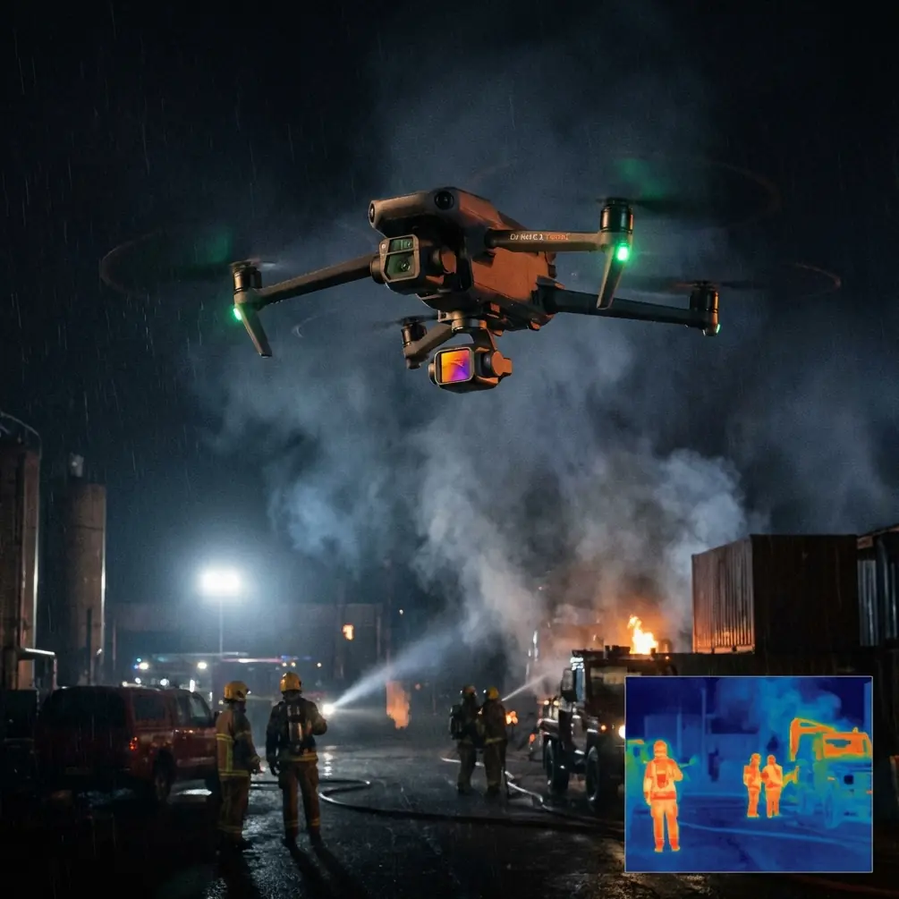
Neo 2 in Dusty Field Mapping: A Field Report on Control Layout, Interference, and What Actually Holds Up
META: Expert field report on using Neo 2 for dusty mapping work, with practical notes on control point layout, GPS/IMU workflows, and handling electromagnetic interference in real survey conditions.
I’ve spent enough time around small-site mapping jobs to know that the cleanest missions rarely happen on clean ground. Dust changes how crews move. Open fields reduce visual references. Temporary machinery, pumps, buried utilities, and metal fencing can distort a flight plan that looked simple back at the desk.
That is why a serious look at Neo 2 for field mapping should not start with camera features or automated flight buzzwords. It should start with control, geometry, and the boring-looking field procedures that keep your outputs usable when conditions are less than ideal.
For this report, I’m grounding the discussion in a survey standard many operators never read closely enough: CH/Z 3004—2010, a low-altitude digital aerial photogrammetry field specification. Even if you’re flying a compact modern platform like Neo 2 rather than a legacy mapping airframe, the standard’s field logic still matters. Dusty farmland, reclaimed parcels, and edge-of-development sites all expose the same truth: data quality is won before processing begins.
Why this standard still matters for a Neo 2 operator
Neo 2 users often work in a hybrid mode. The aircraft may offer modern flight intelligence, obstacle avoidance, subject tracking, ActiveTrack, and fast capture tools like QuickShots or Hyperlapse, but mapping success still depends on whether the flight can support aerial triangulation and stereo measurement requirements.
That phrase from the standard is the key idea.
One section states that in special situations—including cases where normal image control point placement is impossible because point locations fall in water, island-bay terrain, or other difficult aerial photography conditions—control points should be arranged according to the actual circumstances, with the principle being that they must satisfy air triangulation and stereoscopic mapping requirements. Operationally, that means this: when the field doesn’t match the textbook, the geometry still has to work.
With Neo 2 in dusty field mapping, this becomes highly practical. You may be tasked with documenting drainage channels, irregular field edges, access tracks, spoil piles, or irrigation structures. If a standard ground control pattern is blocked by standing water, eroded shoulders, soft soil, or inaccessible fencing, the answer is not to “just fly it and hope the software fixes it.” The answer is to redesign control placement so the block remains solvable.
That is not an old-fashioned idea. It is the difference between a nice-looking orthomosaic and a dataset a farm engineer, land surveyor, or contractor can trust.
The corner-point rule matters more than most small-drone crews realize
Another specific detail from the standard deserves much more attention in Neo 2 workflows: for GPS-assisted aerial photography and IMU/GPS-assisted aerial photography regional networks, the planar control points should use a corner-point placement method. In plain terms, points are placed at convex and concave turning corners of the block.
This is one of those instructions that sounds narrow until you’ve seen the consequences of ignoring it.
Dusty field jobs are rarely perfect rectangles. The site boundary jogs around storage areas. A canal cuts through one side. The flight block bends to avoid trees, power structures, or active work zones. If the mapping crew drops control casually in the middle of easy walking routes while neglecting the turning geometry of the block, the network becomes weaker exactly where deformation likes to hide.
With Neo 2, especially on compact operations where crews want speed, the temptation is to rely heavily on onboard GNSS/IMU and reduce field setup. The standard does allow some flexibility in such assisted workflows, including the idea that the number of routes and baselines can be relaxed appropriately, and that extra elevation control can be added as needed. But “relaxed” does not mean “random.”
The operational significance is straightforward:
- Corner control stabilizes the block shape.
- Concave turns are risk zones for distortion.
- Supplemental height control helps when terrain or crop relief changes across the field.
That matters in dusty environments because visibility and repeatability can already be compromised. If markers are partially dusted over, vehicle traffic has altered the surface, or the field contains low-contrast soil textures, you need stronger geometry, not weaker habits.
Single-flight-line jobs are where discipline slips
The standard also addresses single flight line layout, saying that when a single-line scheme is used, the spacing of adjacent planar and elevation control points along the flight direction can be designed by reference to the standard’s baseline interval rules, and control points need to be set at the standard point locations above and below the target photo positions.
This may sound niche, but it’s directly relevant to long, narrow field tasks. Think irrigation corridors, embankments, farm roads, pipeline easements, drainage strips, or shelterbelt edges. These are exactly the kinds of assignments where someone reaches for Neo 2 because it is quick to deploy and efficient over constrained areas.
The problem is that single-line mapping can look deceptively easy. You have one corridor. One pass pattern. Limited walking. Yet this is also where weak control spacing creates trouble fast. A linear mission has less cross-track redundancy than a full block. Small orientation issues become longitudinal drift. Height inconsistencies start to ripple into the deliverable.
In a dusty field, where repeated landings may coat the aircraft, reduce sensor clarity, or push crews to shorten setup time, single-line jobs need more deliberate planning, not less. If the task is narrow, the control logic has to compensate for the geometry you’re not getting from a wider block.
Dust changes field behavior before it changes aircraft behavior
A lot of operators talk about dust only in terms of motors, cooling, and lens cleanliness. Those matter, of course. But on mapping days, dust often does more damage to the workflow than to the machine.
Markers become harder to identify consistently. Ground crews rush because exposure in open fields is unpleasant. Vehicle movement creates changing surface textures. Notes become incomplete. And that brings up another overlooked line in the reference material: field survey and mapping work should achieve the equivalent of walk to it, see it, measure it, ask clearly, with accurate interpretation, clear depiction, appropriate symbols, and correct annotations.
That line is not just procedural etiquette. It’s a quality-control philosophy.
For Neo 2 mapping, it means:
- Don’t trust a control mark you haven’t visually verified in final field condition.
- Don’t assume your field sketch is obvious when the processing team was not there.
- Don’t leave ambiguous notes about obstructed points, moved markers, or local interference sources.
- Don’t skip the “ask clearly” step with site staff when field activity may have altered surfaces or access routes.
Dusty sites punish assumptions. The aircraft can fly beautifully and still produce a deliverable wrapped around weak human documentation.
Handling electromagnetic interference in the real field
The context here specifically calls for handling electromagnetic interference with antenna adjustment, and this deserves a practical treatment because it’s one of those problems that gets explained too vaguely.
In open agricultural or semi-rural field mapping, interference often appears where crews least expect it: near pump stations, transformer boxes, buried service runs, steel sheds, temporary generators, or even parked machinery clusters. With Neo 2, interference can show up as unstable heading behavior, delayed lock quality, inconsistent home-point confidence, or GNSS performance that seems oddly worse in one corner of an otherwise open site.
When that happens, I don’t treat it as a software mystery. I treat it as a field geometry problem with an RF component.
Here’s the operational sequence I use:
1. Stop assuming the whole site is equally clean
If signal confidence degrades in one launch area, move. A dusty field may be visually open but electromagnetically messy near infrastructure. Even a short relocation can stabilize the preflight environment.
2. Adjust controller and aircraft orientation deliberately
Antenna adjustment is often handled casually, yet it can make the difference between intermittent and stable control quality. I align the controller antennas for broad face exposure to the aircraft’s position rather than pointing tips directly at it, then re-check link consistency while yawing the aircraft slightly on the ground if needed. On some sites, a small change in stance and orientation relative to nearby metal objects noticeably improves reliability.
3. Separate the launch point from metal clutter
Toolboxes, truck beds, steel tailgates, pumps, and fencing can all turn a bad RF pocket into a worse one. In a field mapping context, I want a clean launch pad physically and electromagnetically.
4. Reassess control strategy if one sector remains unstable
This is where the survey standard mindset helps. If one edge of the block is hard to support normally due to environmental conditions, the solution may involve revised control placement or a different block shape, not brute-force persistence.
That is the real significance of flexible control design under special conditions. It gives you a framework for adapting without sacrificing the solvability of the project.
If your team is trying to diagnose a stubborn field setup, I usually recommend sharing site photos, launch geometry, and a sketch of nearby interference sources before the next visit; it saves time compared with guessing in the field. For that kind of pre-mission check, you can send over the layout here.
Neo 2 features that help—and features that do not replace survey discipline
Neo 2’s onboard intelligence is useful in field operations, but it needs to be assigned the right role.
Obstacle avoidance is valuable around isolated poles, trees, pivot structures, and utility lines near field margins. In dusty conditions, it also adds a layer of margin when visibility is flatter than expected. But obstacle sensing is not a substitute for route design. It is a safety aid, not a geometry planner.
ActiveTrack and subject tracking are helpful for training, progress documentation, and operational reviews when following slow-moving civilian equipment such as tractors or utility vehicles. They can support contextual site reporting alongside mapping tasks. They do not validate survey control, and they should not distract the operator from data collection discipline.
QuickShots and Hyperlapse can be genuinely useful for stakeholder communication. A short automated capture showing haul roads, field access, erosion spread, or drainage progression can complement a mapping deliverable. Again, useful—but separate from the technical core.
D-Log has a place if you are building visual records for agronomy consultants, land managers, or project owners who need grading and tonal detail assessed carefully in post. In dust-heavy light, preserving image latitude can help. But if your control and overlap are weak, better color information will not rescue the map.
This is where many small-drone articles go wrong: they blur cinematic convenience with measurement reliability. A serious field operator keeps those lanes separate.
What I would prioritize on a dusty mapping mission with Neo 2
If I were sending a crew to map fields under dusty conditions with Neo 2, my checklist would be shaped more by the reference standard than by marketing material.
First, I would define whether the mission is a regional block or a single-line corridor. That changes everything about control logic.
Second, for a block supported by GPS/IMU assistance, I would make sure planar control reflects the corner-point method, especially at turning and recessed edges. This is one of the easiest ways to strengthen a field dataset with minimal extra effort.
Third, I would identify any special placement constraints early: water edges, soft ground, inaccessible margins, active machinery zones, or surface conditions that make normal control impossible. Then I’d redesign control around aerial triangulation needs, not around walking convenience.
Fourth, I would treat EMI reconnaissance as part of site setup, not as an afterthought. Launch location, antenna orientation, and distance from metallic clutter are all small decisions that become major factors when the field already has dust, glare, and fatigue working against the crew.
Fifth, I would insist on crisp field annotation. The standard’s insistence on accurate interpretation and clear notation may sound old-school, but it is exactly what prevents office-side confusion later.
The bigger lesson
Neo 2 can be a highly practical aircraft for dusty field mapping if you use it like a professional tool rather than a shortcut. The aircraft’s intelligence helps. Compact deployment helps. Modern stabilization and automated functions help. But the difference between a usable dataset and a decorative one still comes down to control layout, special-case adaptation, and disciplined field records.
The reference standard says more in seven pages than many product pages say in seventy. It reminds us that when normal control placement fails, the mission is not over; the design just has to be rethought around triangulation requirements. It reminds us that GPS/IMU support does not erase the need for strong corner geometry. It reminds us that single-line projects need explicit control design, not optimism. And it reminds us that accurate field observation and notation are part of measurement quality, not paperwork.
That is the real Neo 2 story in dusty fields. Not whether it can take off quickly. Whether the operator can turn a difficult site into dependable mapping.
Ready for your own Neo 2? Contact our team for expert consultation.