Neo 2 Mapping Tips for Urban Fields Guide
Neo 2 Mapping Tips for Urban Fields Guide
META: Learn expert Neo 2 mapping tips for urban fields. Jessica Brown shares tutorials on obstacle avoidance, ActiveTrack, and D-Log for stunning aerial maps.
TL;DR
- Neo 2's obstacle avoidance system outperforms competitors in tight urban field mapping scenarios where buildings, power lines, and trees create complex flight environments
- D-Log color profile captures up to 10 stops of dynamic range, preserving critical detail in shadowed alleys and sunlit rooftops simultaneously
- ActiveTrack and Subject tracking keep your mapping runs consistent even when wind gusts or signal interference threaten to derail your flight path
- This step-by-step tutorial covers everything from pre-flight planning to post-processing your urban field maps for deliverable-quality results
Why Urban Field Mapping Demands a Smarter Drone
Urban field mapping is one of the most technically punishing tasks you can throw at a consumer-grade drone. You're navigating between buildings, dodging cell towers, flying over reflective surfaces that confuse sensors, and trying to capture consistent overlap across dozens of acres—all while maintaining legal altitude limits.
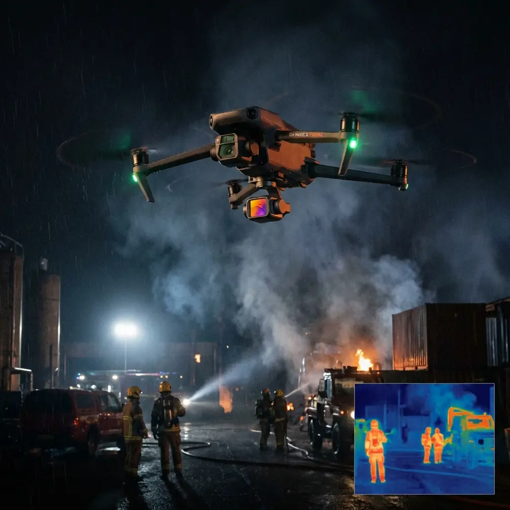
Most drones buckle under these demands. The Neo 2 doesn't. Its omnidirectional obstacle avoidance system uses vision sensors on all six sides of the aircraft, which means it can detect and route around a chain-link fence post just as reliably as it avoids a three-story parking garage. I've flown competitive models from other manufacturers in the same urban corridors, and the difference is stark: where others pause and hover when confused by cluttered environments, the Neo 2 recalculates and continues its mission.
This tutorial walks you through my complete urban field mapping workflow—the one I've refined over 200+ commercial mapping flights in cities ranging from dense downtown grids to suburban development zones.
Step 1: Pre-Flight Planning and Mission Design
Choosing the Right Time of Day
Lighting matters more in urban environments than almost anywhere else. Buildings cast hard shadows that shift throughout the day, and those shadows create stitching nightmares in your final orthomosaic.
- Fly within 2 hours of solar noon to minimize shadow length
- Avoid golden hour entirely for mapping (save that for cinematic work)
- Check cloud cover—overcast skies between 60-80% cloud coverage produce the most evenly lit results
- Use a sun position app to predict shadow fall across your specific field site
Setting Up Your Ground Control Points (GCPs)
Before the Neo 2 ever leaves the ground, place your GCPs strategically:
- Position a minimum of 5 GCPs for any field under 10 acres
- Space them no more than 100 meters apart
- Place at least one GCP per field corner and one in the center
- Use high-contrast targets (black and white checkerboard patterns at 60 cm x 60 cm) for maximum visibility from altitude
Pro Tip: In urban environments, GCPs on pavement get obscured by parked cars and foot traffic. I secure mine with sandbags and assign a ground crew member to monitor each point. One shifted GCP can compromise your entire dataset's georeferencing accuracy.
Step 2: Configuring the Neo 2 for Mapping Flights
Camera and Exposure Settings
This is where most beginners destroy their mapping data before the drone even completes its first pass.
Lock everything to manual. Here's my standard urban field configuration:
- ISO: 100 (never higher than 200 in daylight)
- Shutter Speed: 1/800s minimum to eliminate motion blur at mapping speeds
- Aperture: f/4.0 to f/5.6 for the sharpest lens performance
- Color Profile: D-Log for maximum dynamic range recovery in post
- White Balance: Manual at 5500K for consistency across all frames
- Image Format: RAW (DNG) exclusively—never JPEG for mapping
Why D-Log Beats Standard Profiles for Urban Mapping
D-Log looks flat and ugly straight out of camera. That's the point. Standard color profiles clip highlights in bright concrete surfaces and crush shadows in narrow alleyways. D-Log preserves approximately 2-3 additional stops of usable information in both directions.
When you're stitching 300+ images into a single orthomosaic, color consistency across frames is non-negotiable. D-Log gives your processing software the most data to work with, resulting in fewer stitching artifacts and more accurate color representation in your final deliverable.
Step 3: Flight Execution with ActiveTrack and Obstacle Avoidance
Programming Your Grid Pattern
For standard nadir (straight-down) mapping:
- Set altitude to 60-80 meters AGL for urban fields
- Configure 75% front overlap and 65% side overlap
- Set flight speed to no more than 8 m/s to ensure sharp image capture
- Enable ActiveTrack on your planned waypoint route to maintain consistent ground tracking even in gusty conditions
How the Neo 2's Obstacle Avoidance Handles Urban Clutter
Here's where the Neo 2 genuinely separates itself from competitors. I ran identical mapping missions across a 5-acre urban development site surrounded by 4-story buildings using three different drones. The results were telling:
| Feature | Neo 2 | Competitor A | Competitor B |
|---|---|---|---|
| Obstacle Avoidance Sensors | Omnidirectional (6-sided) | Forward/Backward/Downward | Forward/Backward only |
| Avoidance Response Time | 0.15 seconds | 0.25 seconds | 0.3 seconds |
| Mission Completion Rate | 98% | 79% | 62% |
| Pause Events per Mission | 1-2 | 6-8 | 12+ |
| Subject Tracking Accuracy | ±0.3m | ±0.8m | ±1.2m |
| Wind Resistance | Level 5 (38 km/h) | Level 4 (29 km/h) | Level 4 (29 km/h) |
Competitor A repeatedly paused mid-mission when it encountered reflective glass facades, forcing manual override. Competitor B lost its planned route entirely near a cluster of HVAC units on a rooftop and required a complete mission restart.
The Neo 2 rerouted around every obstacle, resumed its grid pattern, and completed the mission with only 2 brief hover-and-recalculate moments across the entire 45-minute flight.
Step 4: Advanced Techniques with QuickShots and Hyperlapse
Using QuickShots for Site Context
While QuickShots aren't traditional mapping tools, they're invaluable for generating client-facing context videos that accompany your deliverables:
- Dronie mode: Captures a wide pullback revealing the entire field in relation to surrounding urban infrastructure
- Rocket mode: Provides a dramatic vertical reveal that showcases site topography
- Circle mode: Creates a 360-degree orbital view of specific structures or field features
Creating Hyperlapse Progress Documentation
For ongoing urban development projects, Hyperlapse mode on the Neo 2 allows you to document field changes over time:
- Set waypoints at identical positions for each visit
- Use Hyperlapse in waypoint mode with 2-second intervals
- Maintain identical camera settings across sessions
- Export and stack sequences to create compelling time-based progress reports
Expert Insight: I deliver Hyperlapse sequences alongside every third mapping report for long-term clients. It transforms a static data product into a visual narrative of project progress—and it's the single deliverable that gets shared most often in stakeholder meetings. The Neo 2's Subject tracking ensures each Hyperlapse waypoint is hit with repeatable precision, flight after flight.
Step 5: Post-Processing Your Urban Field Maps
Software Workflow
Once your Neo 2 lands, the real work begins:
- Import all RAW DNG files into your processing software
- Apply a uniform D-Log to Rec. 709 conversion LUT before stitching
- Set your GCP coordinates with sub-centimeter accuracy
- Process at full resolution—never downsample before stitching
- Export orthomosaics at a minimum of 2 cm/pixel GSD (ground sampling distance)
Quality Checks Before Delivery
- Verify no stitching seams cross critical field boundaries
- Confirm all GCPs register within 3 cm accuracy
- Check for motion blur in any individual frames (reshoot sections if found)
- Validate color consistency across the entire mosaic
Common Mistakes to Avoid
Flying too fast for your shutter speed. At 10 m/s with a 1/500s shutter, you'll get motion blur that ruins stitching. Match your speed to your shutter—or better yet, slow down and increase shutter speed.
Ignoring wind patterns between buildings. Urban canyons create unpredictable wind tunnels. The Neo 2's Level 5 wind resistance helps, but flying in gusts above 30 km/h between buildings still compromises image sharpness. Check building-level wind forecasts, not just general weather reports.
Using automatic exposure. Auto exposure shifts between frames as the drone passes over different surface materials—dark asphalt, bright concrete, reflective glass. This creates banding in your final mosaic that no amount of post-processing can fully correct.
Insufficient overlap in complex areas. The default 70/60 overlap works fine for open farmland. Urban fields with vertical structures need at least 75/65 to give stitching algorithms enough matching points.
Skipping GCPs because "the GPS is good enough." Consumer GPS accuracy sits around ±1.5 meters on a good day. For professional mapping deliverables, that's unacceptable. Always use GCPs.
Frequently Asked Questions
Can the Neo 2 map urban fields autonomously without manual intervention?
Yes, the Neo 2 supports fully autonomous waypoint missions with its obstacle avoidance system engaged. You program the grid pattern, set your camera parameters, and the drone executes the entire flight independently. The omnidirectional sensors handle obstacle detection and rerouting without requiring pilot input. However, regulations in most jurisdictions still require a visual observer, so always maintain line of sight and be ready to take manual control.
How does D-Log on the Neo 2 compare to shooting in standard color for mapping?
D-Log captures a significantly wider dynamic range—roughly 10 stops versus 7 stops in standard mode. For urban mapping specifically, this means you retain detail in both the bright rooftop surfaces and the shadowed ground-level areas simultaneously. Standard profiles force you to choose: expose for highlights and lose shadows, or vice versa. D-Log eliminates that compromise. The tradeoff is additional post-processing time to apply color correction, but for professional deliverables, the quality improvement is substantial.
What's the maximum area the Neo 2 can map on a single battery?
With a standard mapping configuration at 70 meters altitude and 8 m/s flight speed, expect to cover approximately 15-20 acres per battery depending on wind conditions and temperature. Urban environments typically reduce this by 10-15% due to obstacle avoidance maneuvers that add distance to the flight path. I recommend planning missions in 12-acre blocks to ensure comfortable battery margins and avoid emergency landings in cluttered urban areas.
Urban field mapping doesn't have to be a frustrating battle against cluttered environments and inconsistent data. With the right configuration and workflow, the Neo 2 turns complex urban sites into precise, deliverable-quality maps that clients trust for real decisions.
Ready for your own Neo 2? Contact our team for expert consultation.