Mapping Dusty Coastlines with Neo 2: What a 2010 Aerial
Mapping Dusty Coastlines with Neo 2: What a 2010 Aerial Survey Standard Still Gets Right
META: A field-driven case study on using Neo 2 for dusty coastline mapping, grounded in CH/Z 3005-2010 low-altitude digital aerial photography principles, with practical planning, flight logging, and battery tips.
Coastline mapping looks simple from a distance. Fly a neat grid, capture the shoreline, process the imagery, and move on.
In practice, dusty coastal environments punish lazy workflows.
You are dealing with shifting edges, reflective water, salt in the air, wind that changes by the minute, and fine dust that finds its way into everything from prop hubs to battery contacts. That is exactly why the most useful lens for flying a modern platform like Neo 2 is not hype around smart modes. It is discipline. And one of the more revealing reference points for that discipline is an older Chinese surveying document: CH/Z 3005-2010, Specifications for low-altitude digital aerial photography, issued on 2010-08-24 and implemented on 2010-10-01.
At first glance, that sounds far removed from a compact contemporary UAV workflow. It is not. The standard’s structure tells a story that still matters for Neo 2 operators working on civilian mapping jobs. Even from the first pages, two things stand out: it explicitly covers low-altitude digital aerial photography, and it gives unusual weight to flight planning and flight design, along with appendices for a flight record form, roll-angle calculation illustration, and flight line diagram. Those are not administrative leftovers. They are operational safeguards.
For a dusty coastline job, they are the difference between a clean deliverable and an expensive reshoot.
The assignment: a difficult shoreline, not a scenic one
A recent case involved documenting a mixed coastal strip where hard ground gave way to sandy sections, scrub, access tracks, and a broken waterline. The task was not cinematic. The goal was to create a repeatable visual and spatial record that could support mapping review and site comparison over time.
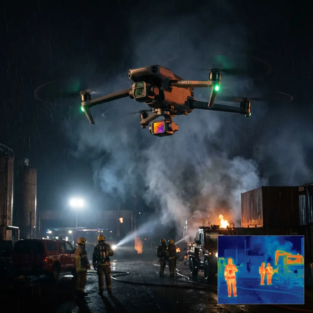
Neo 2 fit the mission because it is small, fast to deploy, and practical in constrained access zones. Features people often associate with content creation, such as subject tracking, QuickShots, Hyperlapse, D-Log, ActiveTrack, and obstacle avoidance, can distract from the main point here. For mapping, the real value is not flashy automation. It is how reliably the aircraft can be flown within a deliberate capture plan while still giving the operator enough situational support to stay safe near uneven terrain, poles, fencing, or low vegetation.
That distinction matters on a coastline. If you chase the shoreline visually, you often produce inconsistent altitude, uneven overlap, and a dataset that looks fine on a phone but weakens in stitching. The 2010 standard’s emphasis on 航摄计划与航摄设计—flight planning and aerial photography design—pushes you in the opposite direction. Start with the mission geometry first. Fly second.
Why an old survey standard matters to Neo 2 users
CH/Z 3005-2010 does not exist to praise a particular drone platform. That is exactly why it is useful. It centers fundamentals that remain stubbornly relevant even as aircraft become easier to fly.
Three details from the reference material deserve attention.
1. It is specifically a low-altitude digital aerial photography specification
That sounds obvious, but it frames the mission correctly. Low-altitude work is not just “regular aerial imaging, but lower.” The closer you fly to the surface, the more small angle changes, height drift, and ground texture variation affect the result. On a dusty coastline, a few meters of inconsistency can change the apparent edge of the shore, the visibility of tire tracks, and the legibility of erosion features.
For Neo 2, operational significance is simple: you should treat altitude consistency and camera orientation as mapping controls, not as aesthetic choices. If the aircraft’s smart flight functions tempt you into reactive flying, your coverage geometry starts to wander. A low-altitude mission demands restraint.
2. The document includes a flight record form appendix
The mention of 附录 B《资料性附录 航摄飞行记录表》, a flight record table, is one of the most practical clues in the whole extract. Many small-drone operators skip structured logging because telemetry exists. That is a mistake in messy field conditions.
A flight record is not paperwork for its own sake. On a dusty coastline, it becomes your diagnostic map:
- which batteries were used on which sorties,
- when wind began increasing,
- which flight lines crossed the brightest reflective water,
- where dust contamination started affecting takeoff behavior,
- whether a return leg was flown with a different heading or light angle.
With Neo 2, keeping a manual or semi-manual flight record alongside the aircraft log helps explain processing anomalies later. If one image strip shows weaker consistency, you can tie it back to a battery swap, a gust front, or a hurried relaunch from a sandy patch.
3. The document references roll-angle calculation and flight line diagrams
The appendices for 旋角计算示意图 and 航线示意图 may look technical and old-fashioned, but they address a problem that still ruins UAV mapping jobs: poor line discipline.
On coastal margins, operators often bend lines to “follow the shape” of the shore. It feels efficient. It usually is not. A flight line diagram mindset forces you to think in repeatable passes and controlled geometry. The roll-angle reference matters because side tilt, intentional or not, can degrade consistency across a strip, especially when wind off the water pushes a small aircraft laterally.
For Neo 2, the practical takeaway is to design straight, explainable flight lines first, then use the aircraft’s modern stabilization and obstacle support features to maintain that plan—not replace it.
How I flew the Neo 2 mission in dusty coastal conditions
The most useful setup decision had nothing to do with creative modes. It was launch discipline.
Dusty coastlines encourage casual launches from the nearest flat spot. Don’t do that. Fine grit gets airborne during spin-up, then reaches motors, landing surfaces, and the camera area faster than many pilots realize. I use a compact elevated pad or a hard protective case lid as a staging platform whenever the ground is sandy or dusty. It is a small habit, but it reduces contamination right at the moment when your aircraft is most vulnerable.
From there, the mission was broken into three layers:
- Primary mapping passes perpendicular or near-perpendicular to the area of interest, depending on shoreline geometry.
- Edge reinforcement passes to capture the transition where dry ground met reflective wet zones.
- Contextual oblique imagery for interpretation, not for the core stitched output.
That third layer is where Neo 2’s broader flight intelligence becomes useful. Obstacle avoidance can reduce risk when working near access roads, signposts, light infrastructure, or dune vegetation. But I treat those systems as backup. On a mapping run, I do not want the aircraft improvising around a line unless safety requires it.
If I need contextual visuals for stakeholders, then features like subject tracking or ActiveTrack can help illustrate coastal movement, maintenance access, or erosion reference points in a separate flight segment. They should not contaminate the logic of the mapping sortie.
The battery management tip that saved us a reshoot
Here is the field lesson I wish more pilots learned early: on dusty coastlines, do not run batteries down to the point where the final leg becomes a rushed recovery.
That sounds basic. The reason is less obvious.
As the day heats up, coastal wind often strengthens unevenly. Dust increases around launch zones. Your landing area becomes less forgiving. If you are squeezing the last percentage out of a pack, you are more likely to descend aggressively, land in poorer surface conditions, or skip a brief hover check because you are focused on getting down. That is when dust ingestion and hard-contact landings happen.
My rule with Neo 2 on these jobs is to assign one battery to one planned block if possible, rather than one battery to “as much work as possible.” I would rather swap early and keep each sortie calm, especially when the route includes a water-edge return leg. A calmer last minute means cleaner handling, better notes, and less contamination. It also protects data quality because you are not truncating the final flight line or changing altitude just to save battery.
Another small habit: after landing in dusty conditions, I let the aircraft settle before packing it immediately. Then I inspect battery contacts and the battery bay area before the next launch. Not a long ritual. Just enough to spot grit, salt residue, or anything that could compromise the next sortie.
Camera discipline beats cleverness
Dusty coastlines create a nasty visual mix: bright water, pale sand, dark scrub, and hazy air. If your settings drift too much between flights, the output becomes harder to normalize.
This is where D-Log can be useful, but only if you know why you are using it. For interpretation imagery or supplemental video, D-Log helps retain tonal flexibility across bright shoreline scenes. For strict mapping consistency, what matters more is maintaining predictable exposure behavior and avoiding unnecessary mid-mission changes that introduce patchiness into the dataset.
I keep camera choices tied to mission purpose:
- mapping passes: consistency first,
- explanatory or client-facing visuals: dynamic range and readability,
- promotional style footage: separate from survey work entirely.
QuickShots and Hyperlapse have their place, but not inside the core capture block. If you want a clean project record, isolate those functions so they do not interfere with systematic image collection.
The hidden value of a flight log when processing starts
The old standard’s inclusion of a flight record form becomes more valuable after the fieldwork than during it.
When reviewing a Neo 2 coastline dataset, the first questions are often not about the drone. They are about continuity:
- Why did strip three look softer?
- Why is the shoreline edge less defined in one section?
- Why did color shift near the southern end?
- Why did one corner of the mission show more skew?
If you logged your flights properly, many of those answers appear quickly. Maybe that strip was flown after wind changed. Maybe the relaunch point was dustier. Maybe the sun angle had shifted. Maybe a battery swap introduced a short delay and the tide edge changed. On a living coastline, time itself is a capture variable.
That is why the standard’s planning-and-recording mindset remains so useful. It turns field variability into something explainable.
A practical Neo 2 workflow for this kind of job
If I were advising a team preparing for similar shoreline work with Neo 2, I would frame it like this:
- Build the mission around line design, not visual improvisation.
- Use obstacle avoidance as insurance, not as route logic.
- Separate mapping passes from cinematic or presentation flights.
- Keep a written or structured flight record, even if the aircraft logs everything.
- Swap batteries before the mission becomes tense.
- Launch and land above dust whenever possible.
- Recheck the aircraft between sorties, especially around battery seating and exposed surfaces.
That workflow may sound conservative. It is. Coastline mapping rewards conservative operators.
For teams trying to refine a similar field routine, I usually suggest comparing preflight notes, battery rotation habits, and route sketching methods before changing anything in software. If you want to discuss practical mission setup for coastal work, this is the best place to reach out: message Chris directly on WhatsApp.
What Neo 2 users should take from CH/Z 3005-2010
The most striking thing about CH/Z 3005-2010 is not its age. It is how clearly it identifies the pillars of reliable low-altitude image capture: planning, equipment discipline, route structure, and records. The fact that it was formally issued in August 2010 and put into effect in October 2010 shows that the surveying world had already settled on a truth many drone users still learn the hard way: small airborne cameras produce useful mapping data only when the mission is designed, not merely flown.
Neo 2 gives the operator more support than survey crews had when standards like this were drafted. That is a genuine advantage. But smart assistance does not erase field physics. Dust still contaminates takeoffs. Wind still pushes the aircraft off line. Reflective coastlines still expose weak planning. Battery stress still changes pilot behavior near the end of a sortie.
So the best way to map coastlines with Neo 2 is not to chase every modern feature at once. It is to combine a capable aircraft with an older, stricter mindset. Straight lines. Planned coverage. Clean launches. Early battery swaps. Real notes.
That is how you turn a small UAV flight into survey-grade discipline, even in a dusty coastal environment.
Ready for your own Neo 2? Contact our team for expert consultation.