Inspecting High-Altitude Forests with Neo 2
Inspecting High-Altitude Forests with Neo 2: What Actually Matters in the Field
META: A practical expert guide to using Neo 2 for high-altitude forest inspection, with real-world insight on obstacle avoidance, subject tracking, QuickShots, Hyperlapse, D-Log, and ActiveTrack.
High-altitude forest inspection sounds straightforward until you are standing on a ridgeline with thinning air, shifting light, gusts rolling through the canopy, and terrain that changes faster than your map suggests. That is where a compact drone stops being a gadget and starts becoming a field tool.
I approach this as a photographer first, but in forest work the camera is only half the story. The real challenge is getting usable visual data from steep, cluttered environments without wasting battery cycles, losing line of sight, or forcing the aircraft into risky paths between branches, trunks, and exposed rock. For readers considering Neo 2 for this kind of work, the useful question is not whether it can fly in a forest. Many drones can, under perfect conditions. The better question is whether it can help you inspect high-altitude woodland efficiently when conditions are imperfect, which is almost always.
The actual problem in mountain forest inspection
Forest inspection at elevation brings together three difficult variables.
First, the terrain. Slopes break visual perspective, so distances are easy to misjudge. A tree line that looks open from one angle may hide staggered trunks, deadfall, and rising ground. Manual flight becomes mentally expensive because every directional input has to be corrected for terrain contour.
Second, the environment. Wind at canopy height is rarely the same as wind at your takeoff point. You can launch in calm air and find lateral gusts 20 or 30 meters above the ridge. Light is also unstable. Cloud shadow moves quickly over conifers, while bright exposed clearings can blow out highlights if your settings are rushed.
Third, the mission itself. Forest inspections are not just scenic passes. You may be checking storm damage, canopy gaps, dieback patterns, access routes, water flow near tree roots, or trail encroachment along remote boundaries. That means your footage needs to be consistent, interpretable, and easy to review later. A dramatic flying style is usually the wrong style.
This is why the best drone features for high-altitude forest work are not the flashiest ones. The most valuable systems are the ones that reduce pilot workload while preserving image quality.
Where Neo 2 fits
Neo 2 makes sense for this job when you need speed of deployment, stable automated support, and a camera workflow that still leaves room for post-production discipline. The headline features people often talk about, such as subject tracking, QuickShots, Hyperlapse, D-Log, obstacle avoidance, and ActiveTrack, are not equally useful in every forest mission. Some are mission-critical. Some are situational. Some become far more valuable once you understand how mountain forest inspection actually unfolds.
The strongest case for Neo 2 in this setting is that it can bridge two worlds: practical inspection flying and visual documentation. That matters because many forest operators are expected to deliver both. A land manager may want evidence of canopy stress and slope access conditions, while a tourism partner or conservation team may also want polished visuals showing the same area over time. A drone that can move between those tasks without changing your whole workflow earns its place in the pack.
Obstacle avoidance is not a luxury here
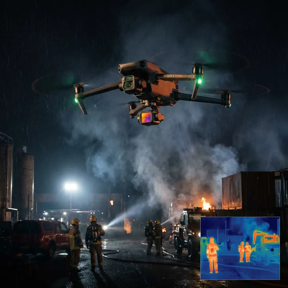
In dense woodland, obstacle avoidance gets talked about as a safety feature. In high-altitude inspections, it is also a data quality feature.
Why? Because when the aircraft can better interpret obstacles around it, the pilot can focus more attention on framing inspection targets, maintaining consistent spacing from the canopy, and adjusting altitude relative to the slope. That leads to more repeatable footage. Repeatability is what lets you compare one flight against another after snowfall, storms, drought, or pest events.
This does not mean you can treat a forest like an open field. Sensors are not magic, and thin branches, irregular twigs, and lighting contrast can still challenge any avoidance system. But operationally, obstacle awareness changes how you plan your passes. Instead of building every route around maximum standoff distance, you can work with more confidence along forest edges, over service tracks, and near broken canopy zones where visual assessment is most useful.
One memorable example stays with me. During a morning inspection above a mixed conifer slope, a deer moved suddenly from cover near a fallen trunk and crossed into the open corridor I was using to track a drainage line. The drone’s sensor-supported flight behavior mattered in that moment. I was already focused on terrain and framing, and the unexpected wildlife movement could have created a rushed manual correction. Instead, the aircraft remained controlled and predictable, giving me time to widen separation and hold a safe, stable path. That kind of real-world interruption is exactly why automated spatial awareness has practical value in civilian environmental work.
ActiveTrack and subject tracking are more useful than they sound
At first glance, subject tracking feels like a feature for action clips rather than inspection missions. In forests, though, it can be surprisingly practical when the “subject” is not a person but a moving point of interest or a route line you need to document consistently.
For example, if a ranger, surveyor, or trail worker is moving along a mountain path, ActiveTrack can help maintain visual continuity while the pilot monitors the broader environment. That is operationally significant because it reduces the constant micro-corrections otherwise needed to keep the subject centered as both aircraft and ground target move through uneven terrain. The result is cleaner footage and less pilot fatigue.
The same logic applies when documenting access corridors. If your inspection includes following a known line through the forest, such as a maintenance path, a ridge trail, or the edge of a regeneration zone, tracking tools can help preserve framing discipline while you concentrate on altitude and clearance.
There is a caveat. In thick canopy or areas with frequent occlusion, tracking can break if the subject disappears behind trunks or into shadow. That means you should treat it as an assistant, not a substitute for route judgment. But in patchy high-altitude forest where clearings alternate with denser stands, it can save meaningful time.
D-Log matters more in mountain forests than many pilots expect
One of the easiest mistakes in high-altitude filming is underestimating how harsh the contrast can become. You may have dark evergreen cover, reflective rock, pale sky, and isolated snow patches in the same frame. Standard color profiles can look attractive straight out of camera, but they often compress your options later when you are trying to recover detail in the tree line without ruining the highlights.
That is where D-Log becomes genuinely valuable. For inspection teams and creators who need footage that can stand up to close review, a flatter profile gives more room to manage dynamic range in post. This is not just an aesthetic preference. It affects whether bark damage, crown discoloration, erosion scars, or edge transitions remain visible once the footage is graded.
Operationally, D-Log is especially useful on flights that begin in shadow and end in direct sun, which happens constantly in mountain forests. A route running from the shaded side of a ridge into an exposed clearing can otherwise produce footage that feels inconsistent from one segment to the next. A log workflow gives you a better chance of creating uniform deliverables across a changing flight path.
For photographers moving into inspection work, this is one of Neo 2’s more meaningful strengths. You do not have to choose between documentation and visual polish. You can capture material that is reviewable by field teams and still robust enough for presentation.
QuickShots and Hyperlapse are not just for cinematic extras
There is a tendency to dismiss QuickShots and Hyperlapse as marketing features. In serious forest work, they are not always central, but neither are they trivial.
QuickShots can help create standardized overview clips at the start or end of an inspection. That may sound minor, yet a repeatable establishing move can be useful when building a visual record of a site over weeks or seasons. If the automated motion is consistent enough, it becomes easier to compare forest edge changes, road intrusion, or clearing expansion over time.
Hyperlapse is even more interesting in this context. High-altitude forests are shaped by movement you often cannot perceive in real time: fog entering drainages, cloud shadow patterns, shifting sun exposure, and human activity along access routes. Hyperlapse can compress those slow changes into something immediately legible. For land managers or environmental teams, that can reveal patterns a single static pass misses.
The key is restraint. These modes are most useful when they are planned around observation goals, not aesthetics for their own sake. If your mission is to inspect canopy disturbance after wind events, a carefully chosen elevated Hyperlapse over a ridge-facing stand can make changing light and swaying damaged crowns easier to interpret than a handful of disconnected still frames.
Flight discipline still decides the outcome
No feature list replaces field method. With Neo 2 in high-altitude forest inspection, the best results come from a disciplined routine.
Launch from the clearest site you can find, not the nearest one. Mountain vegetation can hide low branches and uneven ground near takeoff. Build routes around escape corridors, especially where slope and canopy rise together. Keep your first pass conservative and use it to read wind drift against treetops. If a valley channel is accelerating gusts, you want to know that before committing to a tighter line.
Work in layers. Start with broad contextual passes, then move to lower, slower segments for detail. That approach helps because your first flight reveals how the terrain is likely to affect your signal, visibility, and return path. It also creates a cleaner archive. Broad footage shows where the issue is; close footage shows what the issue is.
If you are documenting repeatedly for the same site, write down not just coordinates but altitude bands, camera angle tendencies, and light direction. Forest inspection improves dramatically when your flights become comparable rather than merely successful.
Why Neo 2 suits the reader who needs both utility and image quality
For a reader inspecting forests at high altitude, Neo 2’s appeal is not any single feature. It is the combination.
Obstacle avoidance lowers the burden of navigating cluttered airspace. ActiveTrack and subject tracking can stabilize follow-style documentation when people or routes are part of the mission. D-Log helps preserve detail across brutal mountain contrast. QuickShots and Hyperlapse, used with purpose, make recurring site documentation more coherent and more persuasive.
That combination is particularly relevant for someone with a photographer’s eye. A lot of inspection platforms can collect footage. Fewer help you gather material that is technically usable, visually organized, and flexible enough for both analysis and presentation. Neo 2 sits in that more interesting middle ground.
If you are building a workflow around remote woodland assessment, especially where access is difficult and every battery counts, that balance matters. A drone that reduces pilot strain while improving footage consistency is not just convenient. It changes what kind of field day is possible.
And if you are sorting through setup choices or use-case fit before heading into the mountains, you can message a drone specialist directly here.
The best forest inspection flights are rarely dramatic. They are controlled, repeatable, and quietly efficient. Neo 2 supports that style well. In high-altitude terrain, that is exactly the kind of help worth having.
Ready for your own Neo 2? Contact our team for expert consultation.