
Neo 2 Field Report: Filming Highways in Windy Conditions
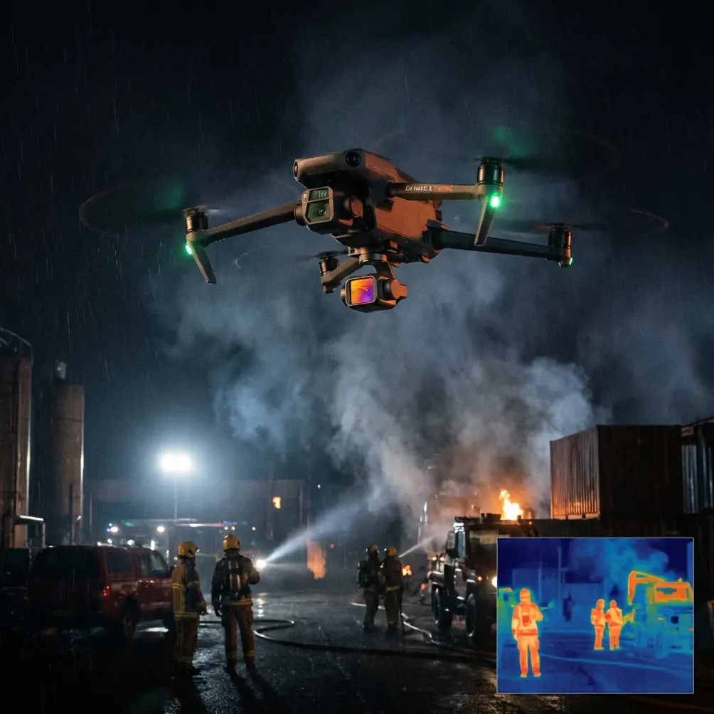
Neo 2 Field Report: Filming Highways in Windy Conditions With Mission Discipline and Camera Control
META: A field-tested Neo 2 filming report on handling windy highway shoots, camera trigger planning, gimbal use, and mission workflow inspired by ArduPilot camera control principles.
I took the Neo 2 out for a highway filming assignment on a day that looked manageable at first and then turned difficult in exactly the way roadside flights often do. The light was clean, traffic movement was predictable, and the early breeze felt usable. Thirty minutes later, the wind shifted across the lanes, the gusts started rolling over embankments, and the whole job became less about getting pretty footage and more about maintaining shot discipline.
That is where this report starts.
This is not a generic drone flying piece. It is about what actually matters when you are filming highways in unstable wind with a compact aircraft like the Neo 2: how you plan the camera actions, how you use gimbal behavior intelligently, and why a structured mission mindset matters even when the aircraft is capable of autonomous features like ActiveTrack, QuickShots, Hyperlapse, and obstacle avoidance.
The reference material behind this discussion comes from ArduPilot’s camera control workflow in Mission Planner. At a glance, that sounds like a fixed-wing autopilot manual rather than something relevant to a Neo 2 shoot. In practice, the ideas are highly transferable. The core point in the source is simple but operationally significant: a camera mission is planned like a waypoint mission, except that the system can trigger the shutter between waypoints. That one detail changes how a professional approaches a moving corridor such as a highway.
Why the “between waypoints” detail matters on a highway
A lot of pilots think in terms of points. Get to this spot. Turn here. Orbit there. Highways do not reward that mindset.
A highway is a continuous subject. The visual story comes from flow: lane geometry, vehicle spacing, merging patterns, ramps, barriers, bridges, signage, and the changing rhythm of the road. If your camera logic is tied only to isolated positions, you end up collecting disconnected shots. The ArduPilot source explicitly frames camera task planning as something integrated with the route, with shutter events happening between waypoints rather than only at them. Operationally, that means the aircraft’s path and the image capture strategy are designed together.
On the Neo 2, even if you are not building the exact same mission structure in Mission Planner, the principle still holds. For windy highway filming, I build every pass around capture intervals and directional continuity, not just around scenic locations. The drone is not simply traveling to viewpoints. It is executing a moving camera plan.
That distinction became critical once the wind changed mid-flight.
What changed in the air
The first leg ran parallel to the highway, slightly offset from the median, with the gimbal pitched to preserve both lane structure and the movement of vehicles entering from an interchange. The original plan was to alternate three shot types:
- a low oblique establishing pass
- a slightly higher tracking sequence for lane flow
- a top-down segment for traffic density and merge analysis
The air was initially steady enough that ActiveTrack-style movement and manually refined tracking both felt clean. Then the crosswind picked up from the open side of the corridor. You could see it before you felt it in the sticks. Small vegetation near the shoulder started moving in bursts, and the drone began making more obvious stabilization corrections.
This is where people often overreact. They either abandon the shot too early or stay committed to the original move long after the wind has made that move ugly.
The Neo 2 handled the change well, but only because I changed the mission logic instead of trying to force the original plan.
Gimbal control is not a luxury in wind
The source document does more than mention camera triggering. It also separates camera commands, camera gimbal commands, and servo/relay commands. That distinction is easy to skim past, but it matters in the field.
When the weather shifts, the gimbal is no longer just there to keep the horizon level. It becomes your primary tool for preserving visual intent while the aircraft adapts to the air. In clean conditions, you can ask the aircraft body and the camera to do the same storytelling work. In gusts, that breaks down fast. Let the aircraft focus on stable flight. Let the gimbal carry the composition.
On this highway shoot, I reduced aggressive lateral framing changes and relied more heavily on gimbal pitch discipline. Instead of trying to hold a dramatic side-reveal while the wind pushed across the route, I moved to cleaner forward-oriented passes with steadier camera angles. That gave me footage that still read clearly: lane direction, entry ramps, overpass structure, traffic spacing. Less flashy. More usable.
The manual also notes that if the aircraft has a gimbal, it can perform hotspot tracking tasks. For highway work, the civilian equivalent is not some cinematic flourish. It is the ability to keep visual attention on a defined moving or fixed point of interest while the drone manages the route. In practical terms, that could mean maintaining emphasis on a critical interchange, a bridge deck, a resurfacing zone, or a convoy of survey vehicles moving through traffic. In wind, the steadier your gimbal logic, the less footage you lose.
Why “simple manual shots” are not always enough
The source says that for simple tasks, photos can be taken manually between waypoints, while more complex needs can be automated using Mission Planner tools. That is one of the most grounded statements in the material, and it maps perfectly onto real drone production.
There is nothing wrong with manual capture. In fact, some of the most useful highway shots still come from a human pilot making quick timing decisions based on traffic gaps and light. But a windy corridor is exactly where complexity sneaks up on you. Traffic speed changes. Wind shifts at embankments. Bridges create turbulence. Light bounces off barriers and road surfaces. If the job includes repeated passes or deliverables that need consistency, manual-only operation can create uneven results.
For this shoot, I used a hybrid mindset. I treated the route like an auto mission even when I was adjusting live. Each segment had a predefined purpose:
- show linear movement through the corridor
- show the geometry of the interchange
- show the relationship between traffic and infrastructure
- collect stable overhead material suitable for composite or sequence-based editing
That last point comes straight out of the source material’s mention of “creating composite images.” Most people think of composites only in mapping contexts. But in highway documentation, the same idea can support progress reporting, comparative traffic studies, construction monitoring, and stitched visual overviews for planners and contractors. If you know in advance that multiple frames may need to align or sequence cleanly, you fly differently. You maintain more consistent altitude, overlap, and gimbal angle. Wind discipline becomes part of the editing strategy before editing ever starts.
Survey-grid thinking improves corridor filming
Another source detail that deserves more respect is the “Survey (Grid) Example.” At first glance, a grid sounds unrelated to a highway because roads are linear, not block-shaped. But survey-grid thinking teaches two habits that absolutely improve windy filming jobs.
First, it enforces coverage logic. You stop guessing whether you have enough material from each zone.
Second, it encourages repeatability. That matters when the weather changes halfway through and you need to compare one pass against another.
I adapted that thinking by dividing the highway section into functional blocks rather than literal squares: interchange, bridge segment, straightaway, barrier transition, and service-road junction. Each block got a capture plan. If I had to cut a pass short because of gusts, I still knew exactly what had and had not been covered.
This is the kind of quiet professionalism viewers never see in the final video, but clients feel it in the result. They get footage that is coherent rather than random.
How Neo 2 features fit the real job
A lot of feature lists sound impressive until wind shows up. Then only a few capabilities really matter.
Obstacle avoidance
Near highways, the obvious hazards are not only poles and signs. It is also the visual clutter around overpasses, sound barriers, lighting structures, and utility lines running along adjacent service corridors. Obstacle avoidance is most useful when it reduces workload, not when it encourages risky proximity. In shifting wind, cognitive load rises. Any system that helps preserve spatial awareness earns its keep.
Subject tracking and ActiveTrack
These tools can be genuinely useful for maintaining visual continuity on moving traffic flows or escort vehicles in civilian documentation work. But in gusty roadside conditions, I use them as structured aids, not as substitutes for shot judgment. Tracking is valuable only if the framing remains readable and the aircraft is not fighting unnecessary angles.
QuickShots
QuickShots are often dismissed by professionals, sometimes unfairly. For highway content, a controlled reveal or pullback can still serve a purpose, especially for an opening sequence that establishes context. In wind, though, canned movement should be used selectively. If the air has become inconsistent, predictable manual geometry usually beats automated style.
Hyperlapse
This can be strong for showing traffic density changes or the pulse of an interchange over time. The catch is stability and consistency. If the wind is introducing too much position correction, a Hyperlapse sequence may become more trouble than it is worth unless you are operating from a very stable hold point.
D-Log
On highways, reflective surfaces create contrast headaches: pale concrete, dark asphalt, bright lane markings, metallic vehicle roofs, glass, and changing sky conditions. D-Log gives more latitude for balancing those elements later. On the day of this flight, once the weather shifted, the sky lost some softness and became patchier. Having a flatter capture profile preserved options in post without forcing me to chase exposure changes too aggressively in the air.
The moment I changed the plan
Mid-flight, I abandoned one planned side-tracking sequence entirely. The crosswind was making the aircraft work too hard to keep a polished lateral relationship to the traffic stream. Rather than fight that, I rotated the mission into a slightly higher forward-leading pass with a calmer gimbal pitch. Same road. Different logic.
That choice gave me cleaner footage and a safer operation.
This is where the ArduPilot-style mission framing helped most. Because I was thinking in terms of route, trigger logic, and camera behavior rather than “get this one hero shot,” adapting was easy. I was not emotionally attached to a move. I was attached to the mission outcome.
For photographers moving into corridor filming, that is a useful shift. Your best shot is rarely the most dramatic one when the environment becomes unstable. It is the one that remains legible, repeatable, and usable across the whole project.
A note on preparation
The source material states that the camera and gimbal connection must already be completed and configured. That sounds basic. It is also one of the biggest separators between smooth field work and avoidable frustration.
Highway shoots are not forgiving places to troubleshoot. Before launch, I want camera response, gimbal behavior, trigger logic, and profile settings fully sorted. Not mostly sorted. Not tested once last week. Sorted now. Wind compresses your decision window. Any uncertainty in the imaging system eats directly into that window.
If you are building a repeatable workflow for Neo 2 corridor filming and want to compare notes with a team that understands mission-based camera planning, this direct project chat is a practical place to start.
What I brought home
The final edit did not look like the calm-weather concept I had in mind during takeoff. It looked better for the actual assignment.
The establishing shots were steadier than expected given the gusts. The interchange sequences were clearer because I simplified the framing. The overhead material was consistent enough to support stitched or composite-style use if needed. Most importantly, the footage told the truth about the site: scale, movement, infrastructure, and flow.
That is the real lesson from blending Neo 2 field work with the mission logic reflected in the ArduPilot camera-control reference. Camera operations should not be treated as an afterthought bolted onto a flight path. The camera plan is the mission. The gimbal plan is the mission. The trigger timing is the mission.
When the wind shifts over a highway, that structure is what keeps the work usable.
Ready for your own Neo 2? Contact our team for expert consultation.