Filming Forests with Neo 2: A Field Report on Flight
Filming Forests with Neo 2: A Field Report on Flight Planning, Signal Discipline, and Data You Can Actually Use
META: A field-tested Neo 2 article for forest filming in complex terrain, covering obstacle avoidance, ActiveTrack, D-Log, Hyperlapse, antenna adjustment, and why waypoint-style planning and live data visibility matter in the field.
Dense forest work exposes every weakness in a small drone operation. Light changes by the second. Tree canopies break line of sight. Moisture, elevation shifts, and cluttered terrain all push both pilot judgment and aircraft reliability harder than open-field flying ever will. That is why my recent Neo 2 sessions in woodland terrain ended up teaching me something useful beyond camera settings and flight style: the best cinematic work in forests starts to look a lot like disciplined environmental survey work.
That may sound odd for a photographer to say. But the more time I spend flying under canopy edges, along ridgelines, and through narrow clearings, the more I value systems that show me live flight status, route intent, and changing conditions in one place. The reference material behind this piece comes from a gas-detection drone workflow, not a filmmaking brochure, yet two details from that source translate remarkably well to Neo 2 work in forests: first, the ability to set waypoints or automatically plan a route so the aircraft can fly a defined path; second, the live display of concentrations, flight data, and real-time image transmission, paired with one-click export and cloud upload of collected information. In an industrial context, those functions help visualize pollution. In a filming context, they help build repeatability, safety, and cleaner creative decision-making.
That is the real story here. Neo 2 becomes far more useful in complex forest terrain when you stop treating each flight as an isolated manual performance and start thinking in terms of route design, live feedback, and post-flight review.
Why forests punish improvisation
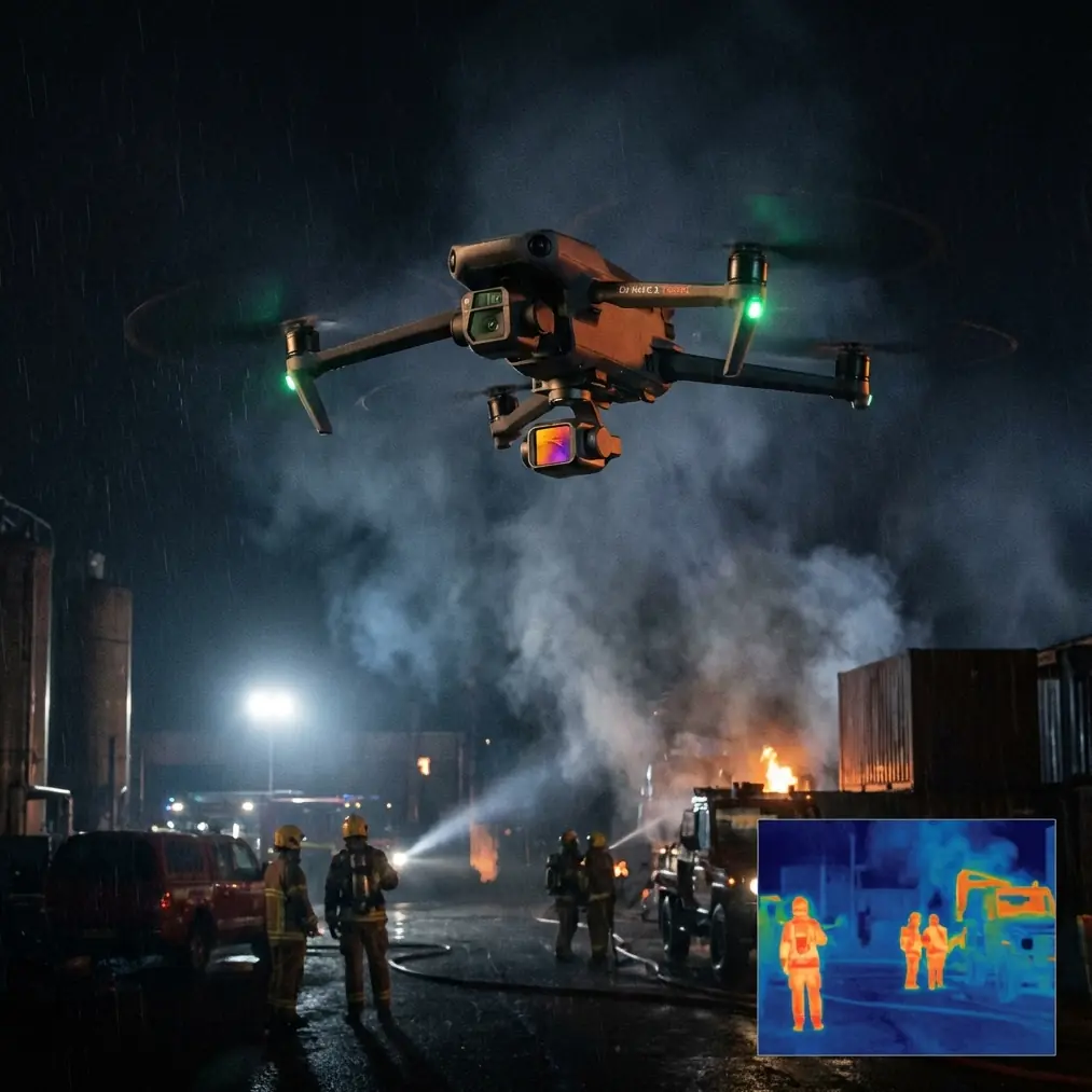
When people imagine “forest drone footage,” they usually picture fluid reveal shots over treetops, smooth lateral slides through a stand of pines, or a subject tracked along a winding trail. They do not picture the failed takes. Loss of contrast in patchy light. Sudden branches entering frame from terrain rise. Compass or transmission instability caused by nearby metal structures at trailheads, power infrastructure near service roads, or just awkward pilot positioning in a hollow where signal geometry gets ugly.
Neo 2 handles a lot for its size, especially when obstacle avoidance and subject tracking features are used intelligently. But forest environments are deceptive because they create layered risk rather than a single obvious hazard. The aircraft may have enough space to move, yet not enough visual consistency for tracking to remain elegant. The signal may be technically present, yet weakened by the pilot’s orientation, the slope of the land, and the canopy density between controller and drone.
That is where antenna discipline matters. One of the simplest field corrections I make now is adjusting controller antenna orientation as soon as I change elevation or direction relative to the aircraft. In wooded terrain, that small habit can stabilize the link before a minor fluctuation turns into a compromised shot. I do not wait for the feed to degrade badly. If I’m entering a corridor between taller trees or dropping the drone along a descending trail, I re-square my body to the aircraft’s path and adjust antenna angle deliberately. In open areas you can get lazy. In forests, lazy gets expensive.
The industrial lesson that unexpectedly improved my filming
The source material describes a workflow where operators can define waypoints or let the system automatically plan a route, then monitor live gas concentration, flight data, and real-time video as the aircraft flies. It also mentions generating a gas concentration distribution map and exporting all data with one click to a cloud server.
On the surface, none of that sounds cinematic. But it reveals a mature operational model: plan the route, watch the live variables, collect synchronized visual information, then export and review the result.
That model is exactly what many drone filmmakers skip.
With Neo 2 in forests, waypoint-style thinking changes everything. Even if your flight is not a strict inspection mission, predefining the line you want the aircraft to travel forces you to answer the right questions before launch:
- Where will the canopy close in?
- At what segment does terrain rise fastest?
- Where is the line of sight most vulnerable?
- Which part of the route needs slower speed for obstacle avoidance to remain useful rather than reactive?
- Where will changing sun angle affect exposure if I’m shooting in D-Log for grading later?
A manually improvised run often feels creative, but it tends to be less consistent. A planned route gives you repeatable motion, which is the raw material for better storytelling. If you are filming a trail runner, a ranger, a researcher, or a forestry team moving through complex ground, repeatability matters more than flashy movement. You can re-fly the same path with different altitude, speed, or lens perspective logic. That is how you build an edit that feels intentional.
Live data is not just for survey crews
The source document emphasizes real-time display: concentrations, flight data, and live image transmission. Replace “gas concentration” with the metrics filmmakers actually care about in the field, and the principle still holds. You want a cockpit view of the mission, not just a pretty feed.
In forest filming, I watch three categories constantly:
- Aircraft position relative to terrain
- Signal quality and transmission stability
- Image readability in changing light
Neo 2’s live view is not just there so you can frame the shot. It is your early warning system. If the feed begins to soften, lag, or lose consistency in a stand of trees, that is often your cue to reconsider your angle, altitude, or antenna orientation before the aircraft reaches a more difficult segment. If your flight data shows drift, speed mismatch, or too much corrective input, the shot may already be telling you that the route is too ambitious for the current conditions.
This is one reason I like combining ActiveTrack or subject tracking with a conservative route concept rather than relying on tracking alone. Tracking can help reduce workload, but in forests it should support your flight plan, not replace it. If the trail twists sharply under branches, the smartest move may be to break the sequence into smaller planned sections instead of forcing one uninterrupted take.
What obstacle avoidance can and cannot do in woods
Obstacle avoidance is one of those features people either overtrust or underuse. In a forest, both mistakes show up quickly.
Neo 2’s obstacle avoidance can help when you are crossing irregular edges, approaching trunks at oblique angles, or following a subject where your attention is partly on composition. It is valuable. But woodland scenes are full of thin branches, visual clutter, and layered depth that can create difficult edge cases. Use obstacle avoidance as a buffer, not as your route designer.
A better workflow is to scout visually, define the cleanest corridor, and then let obstacle sensing provide margin inside that corridor. If I’m planning a lateral move through a clearing bordered by trees, I’ll choose the side with the more predictable branch structure, maintain a speed that allows the aircraft time to interpret the scene, and keep enough altitude margin that a gentle correction does not ruin the shot.
When that is paired with a repeatable route, the footage gets noticeably cleaner. The drone stops “thinking on its feet” so much, and the motion reads as controlled rather than nervous.
ActiveTrack and QuickShots in terrain that fights back
ActiveTrack in forests works best when the subject remains visually distinct and the route does not force the aircraft into abrupt path decisions. A hiker in bright clothing on a winding trail is easier than a cyclist under dappled shadow wearing earth tones. I often start with a simpler establishing pass, then move into tracking once I understand where the drone wants to drift or hesitate.
QuickShots can be useful too, but only in openings where the airspace geometry is obvious. The mistake is launching a pre-baked movement in a location that looks spacious from your standing point but is actually pinched by unseen branches higher up or behind the aircraft. In forests, automatic shot modes should be earned by reconnaissance.
Hyperlapse is where route discipline becomes especially valuable. If you want motion through a wooded corridor or above a canopy line, consistency is everything. A path that was mentally mapped but not structurally planned often produces micro-variations that become distracting once accelerated. The industrial reference to route planning and automated flight is relevant here. Automation is not only about reducing pilot workload. It is about preserving geometric coherence over time.
D-Log in forests: less forgiving than people think
I like shooting D-Log in woodland environments, but it demands restraint. Forests contain bright sky holes, dark undergrowth, reflective leaves, and constant tonal shifts. The benefit of D-Log is preserved highlight and grading flexibility. The cost is that sloppy exposure choices become obvious later.
This is another place where a planned route helps. If you know the aircraft will move from shaded trail to sunlit gap over a defined line, you can test exposure behavior before the hero take. That is much harder when every run is improvised. Even a short rehearsal on the intended path tells you whether the scene is going to hold together in post or whether you need to simplify the move.
The same operational logic appears in the source document’s emphasis on real-time visibility and later export. For environmental teams, that means immediate awareness plus reviewable records. For a photographer, it means immediate confidence plus editable consistency.
The hidden value of exportable mission thinking
One of the most overlooked details in the reference material is not the live display. It is the one-click export of all data and upload to a cloud server. In environmental work, that creates traceable documentation. In media work, the parallel is project continuity.
If you are filming recurring locations such as a conservation site, a forest restoration area, an outdoor education center, or a seasonal trail project, repeatable route records matter. You may need to capture the same visual line in early spring, midsummer, and late autumn. You may need to compare canopy density, water presence, or human access patterns visually over time. Having your route logic, flight notes, and footage organized as a coherent mission record makes that possible.
That is not glamorous, but it is professional. A drone operator who can revisit a woodland shot months later and match path, altitude character, and framing rhythm delivers more than footage. They deliver continuity.
If you need a second set of eyes on route planning for a forest shoot, I’ve found it helpful to discuss the mission profile before heading out; this is a practical place to do that: message a drone workflow specialist.
My field method with Neo 2 in complex woodland
For readers who want the practical version, this is the sequence I now follow more often than not:
1. Walk first, fly second
I trace the subject path on foot. Not casually. I look for branch overhang, terrain rise, reflective distractions, and likely signal weak spots.
2. Build a route, even if it stays in your notebook
The source material’s waypoint and auto-route logic applies here. I decide where the drone should begin, where speed changes, where I may need to pause, and where the shot should end. This makes manual flying sharper too.
3. Rehearse the signal geometry
Before the real take, I check how the aircraft sits relative to me through the most obstructed segment. If the line is awkward, I move myself. Then I adjust antenna orientation to suit the route rather than standing wherever launch happened.
4. Choose automation selectively
ActiveTrack for clean, readable subject movement. QuickShots only in confirmed open space. Hyperlapse only when the path is stable enough to hold up when compressed in time.
5. Monitor live data, not just composition
The source document’s insistence on real-time visibility is operationally sound. Watch the aircraft’s behavior and feed quality as seriously as you watch framing.
6. Review and archive like the mission matters
Because it does. Even creative flights benefit from exported notes, saved route logic, and organized footage sets.
The bigger takeaway
Neo 2 is easy to underestimate in forest work. People see a compact drone and assume the challenge is mostly about avoiding branches and getting a decent image. The real challenge is operating with enough structure that the aircraft can do its best work in a place that is visually beautiful but aeronautically messy.
That is why the environmental reference behind this article matters. A gas-detection workflow built around planned routes, live data display, visualized outputs, and one-click export points to a broader truth: drones become more effective when the mission is designed, monitored, and documented as a system.
For filmmakers, that system does not remove creativity. It protects it.
When I fly Neo 2 through forests now, I care less about forcing dramatic movement and more about building reliable motion through difficult space. Obstacle avoidance helps. ActiveTrack helps. D-Log helps. Hyperlapse can be excellent. But the difference-maker is often simpler: define the route, watch the feed and flight behavior intelligently, and correct signal posture before the aircraft starts fighting the environment.
In other words, the best forest footage usually begins long before the record button.
Ready for your own Neo 2? Contact our team for expert consultation.