How to Film Urban Forests With Neo 2 While Airspace Security
How to Film Urban Forests With Neo 2 While Airspace Security Gets Stricter
META: A practical Neo 2 tutorial for filming forests in urban areas, with pre-flight safety checks, obstacle avoidance tips, tracking advice, and why new drone security rules matter.
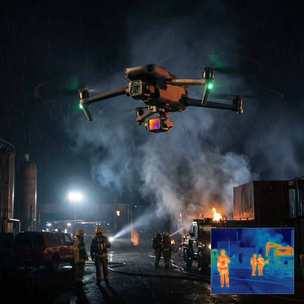
Urban forest filming used to be mostly a creative problem. Find the light, build a flight path, avoid branches, keep your subject framed. That is still true, but the operating environment is changing fast. A recent DHS move to deploy Fortem kinetic counter-UAS systems at World Cup venues signals something bigger than stadium security. It shows that authorities are tightening drone protection protocols around high-profile spaces in the U.S., especially where crowds, infrastructure, and unpredictable air traffic intersect.
If you fly a Neo 2 near city parks, greenways, wooded river corridors, or tree-filled recreation zones, that shift matters to you even if you never go anywhere near a stadium. The same policy mindset that leads to hardened counter-drone measures at major events tends to reshape how urban pilots plan shoots: more attention to perimeter awareness, more scrutiny around temporary restrictions, and less margin for casual mistakes.
At the same time, the broader drone market is moving in the opposite direction operationally: more aircraft, more output, more density. One recent industry report out of China noted that some outside estimates put monthly drone production at 700,000 units, and argued the real figure is likely underestimated. Another report highlighted the establishment of a Tianjin low-altitude economy investment and development company with registered capital of 1 billion yuan, alongside projections that China’s low-altitude economy could exceed the trillion-yuan level by 2026. Put simply, the airspace is becoming more active, not less.
That combination—tighter security and expanding drone volume—is exactly why Neo 2 pilots need a smarter field routine for urban forest work.
This guide is built around that reality.
Why urban forests are harder than they look
Urban forests are deceptive. On paper, they seem safer than dense downtown streets because there is more open space and fewer buildings. In practice, they compress several risk layers into one location:
- thin branches and irregular canopy gaps that confuse visual judgment
- changing GPS quality near tree cover and nearby structures
- joggers, cyclists, dogs, children, and maintenance crews entering frame without warning
- localized restrictions or enforcement sensitivity near event zones, transit corridors, utilities, and civic sites
Neo 2 is well suited to this kind of work because it favors fast setup and agile, close-range shooting. Features like obstacle avoidance, ActiveTrack-style subject tracking, QuickShots, and Hyperlapse can turn a routine walk-through into a polished sequence. But urban tree cover punishes sloppy prep. Before you even think about launch, clean the aircraft.
That sounds basic. It is not.
The pre-flight cleaning step most pilots skip
If you shoot around pollen, dust, moisture, or city grime, a quick wipe-down is not cosmetic. It is a flight safety task.
For Neo 2, your obstacle avoidance and tracking performance depend on sensors and cameras seeing the scene clearly. In wooded urban environments, you are often asking the drone to distinguish between low-contrast bark, fine branches, fluttering leaves, and moving subjects under mixed light. A smudge on a forward sensor or camera lens can degrade detection confidence at exactly the moment you need precision.
My pre-flight cleaning routine for forest filming in the city is simple:
- Inspect the lens first. Look for fingerprints, moisture haze, and dust.
- Check obstacle sensing surfaces carefully, especially if the drone rode in a pocket, sling, or dusty bag.
- Clean with a proper microfiber cloth, not a shirt hem or random tissue.
- Verify the gimbal moves freely and is not catching on debris.
- Confirm prop edges are clean and undamaged.
Why this matters operationally: when you rely on obstacle avoidance in tight canopy edges, “mostly clean” is not the same as clean. Neo 2 only has milliseconds to interpret a branch crossing the flight path. If you also plan to use subject tracking, sensor clarity affects how reliably the aircraft separates your subject from a busy background of trunks, shadows, and leaf motion.
That tiny cleaning step is one of the easiest ways to reduce avoidable risk.
Start with the airspace, not the shot list
The DHS-Fortem news is easy to misread as something relevant only to law enforcement or large sports organizers. That would be a mistake. The key signal is not just the Fortem deployment itself. It is the broader effort to establish new counter-UAS protocols in the U.S. for major sporting events and critical infrastructure protection.
Operationally, that means Neo 2 pilots should assume urban airspace can become sensitive with little visual warning. A tree-lined park may sit closer than you realize to a protected event perimeter, transport route, or infrastructure node. Restrictions may be temporary, localized, or enforced more aggressively during high-profile periods.
So before planning your forest sequence, do this:
- check current local airspace status and temporary restrictions
- look beyond the park boundary itself
- note stadiums, civic venues, utility corridors, and event spillover zones nearby
- avoid any “it’s just a small drone” mindset
This matters even more in urban forests because tree cover can disconnect you from context. Once you are under canopy, it is easy to think only in terms of framing and proximity. The legal environment does not disappear because the drone is flying between branches.
Build a Neo 2 flight plan for trees, not open sky
Many pilots design shots in an open-field mindset and then try to adapt them to a wooded city path. That usually leads to abrupt braking, awkward re-framing, or unnecessary reliance on automation.
Instead, map the route around three zones:
1. The launch and recovery pocket
Pick a clear patch with vertical breathing room. Avoid benches, pedestrian choke points, and leaf-litter surfaces that can kick debris into the gimbal on takeoff.
2. The low-risk corridor
This is where you capture your safest establishing shots. Think edge-of-forest passes, path reveals, and slow parallax moves with obvious escape routes.
3. The precision segment
Save tighter canopy runs, subject tracking, and QuickShots for the part of the session when you already know the light, wind, pedestrian flow, and sensor behavior.
Neo 2 performs best when you let the environment tell you what automation to trust. If a corridor has thin branch intrusion from both sides, do not ask the aircraft to do too much at once. Tracking plus speed plus aggressive lateral movement through branch clutter is where small errors become expensive.
How to use obstacle avoidance intelligently in urban woods
Obstacle avoidance is not permission to fly carelessly into complexity. In forests within city spaces, the challenge is not usually one large obvious object. It is layered detail: twigs, angled branches, signposts, lamp heads, cables at the tree line, and sudden openings that tempt you to accelerate.
A few practical rules help:
- Fly slower than you think you need to.
- Keep extra separation from branch tips; they are harder to judge than trunks.
- Watch for backlit foliage in late afternoon, where contrast can shift fast.
- Rehearse the route manually before trusting an automated move.
- If the drone hesitates repeatedly, treat that as useful information, not annoyance.
That last point matters. Sensor hesitation often tells you the scene is visually ambiguous. In urban forest filming, ambiguity is the real hazard. The route may look obvious to your eyes and still be messy for machine vision.
Getting better subject tracking in a forested city setting
Neo 2’s tracking tools are at their best when the subject is distinct and the route is readable. Urban forests make both harder. Clothing colors blend with bark and shadows. Paths curve unexpectedly. Other people enter the frame without warning.
To improve consistency:
- Choose wardrobe that separates the subject from greens and browns.
- Start tracking in a cleaner section before moving into denser background.
- Keep subject speed predictable.
- Use wider framing than you would in an open plaza.
- Avoid switching directions suddenly under heavy canopy.
The reason is simple: background complexity increases tracking load. A runner moving through dappled light with tree trunks flashing behind them is a much tougher target than the same runner on a clear boardwalk.
If you are filming yourself and want a second opinion on route planning or settings, you can message me here for a quick Neo 2 workflow check.
QuickShots and Hyperlapse: where they shine, where they struggle
QuickShots can be excellent in urban forest scenes, but only when the geometry is forgiving. A reveal from behind a foreground tree line into an open meadow or river path works well because the drone has a readable expansion path. A dramatic automated move in dense canopy usually does not.
Use QuickShots when:
- the takeoff zone is open
- the path away from the subject is obvious
- there is minimal overhead branch clutter
- pedestrian movement is low
Hyperlapse is a different tool entirely. In city forests, it is strongest when used to show environmental rhythm rather than speed for its own sake. Wind moving through the canopy, shifting foot traffic on a path, shadow patterns creeping across a clearing—those are good Hyperlapse subjects. The result feels grounded in place instead of gimmicky.
Plan Hyperlapse around stability. Branch-filled environments create visual flicker and fine-detail motion, so minor inconsistencies become more visible. Lock in a route with generous margins and do not crowd the canopy.
D-Log in mixed forest light
Urban woods produce some of the trickiest light you will encounter: bright sky holes, dark understory, reflective concrete nearby, and patches of sun on moving leaves. That is exactly where D-Log can help if you intend to grade your footage.
The practical advantage is highlight and shadow management. When your subject passes from open path into shade, a flatter capture profile gives you more room to balance skin tones, foliage, and sky without the image breaking apart as quickly.
Still, this only works if exposure discipline is solid. D-Log is not a rescue button for careless metering. In urban forest work:
- protect highlights in sky openings
- watch skin tones under dappled light
- avoid dramatic exposure swings within one automated move
- keep shots shorter if the lighting changes too abruptly
If you do not plan to grade, prioritize consistency over flexibility. A cleaner standard profile may be the better call for a fast-turn project.
Why the broader drone boom changes small-drone behavior
The other two news items may sound distant from a single Neo 2 shoot in a city park, but they point to a meaningful trend. If market forecasts suggest the low-altitude economy could exceed the trillion-yuan scale by 2026, and if outside estimates of Chinese drone production already reach 700,000 units per month with claims that real output is higher, then the near-future airspace picture is obvious: more aircraft, more operators, more regulation, more enforcement.
That affects small creators first through operating discipline. Not because Neo 2 suddenly becomes harder to fly, but because tolerance for informal habits drops as drone activity becomes more common. The pilots who adapt early will keep working smoothly. The ones who rely on improvisation will run into friction.
For urban forest filming, adaptation looks like this:
- cleaner pre-flight process
- stronger location vetting
- more conservative route planning
- better awareness of temporary security environments
- more respect for how automated features behave in visually dense scenes
This is not about fear. It is about professionalizing your workflow before someone forces you to.
A practical Neo 2 workflow for urban forest shoots
If I were taking Neo 2 into a city forest tomorrow, this is the sequence I would use:
First, check the broader airspace context, especially any major venue activity or local event footprint. The DHS move around World Cup venue protection is the reminder here: security posture can tighten well beyond the obvious boundary.
Second, clean the lens and sensing surfaces. That one step protects the very features most pilots count on in trees—obstacle avoidance and tracking.
Third, walk the route without flying. Identify trunks, overhangs, signposts, and surprise pedestrian intersections.
Fourth, shoot safe establishing passes manually. Learn the space before using QuickShots or tracking.
Fifth, use subject tracking only where the background supports it. Dense branch chatter and irregular lighting should lower your confidence threshold, not raise it.
Sixth, reserve Hyperlapse for scenes with readable motion and enough separation from clutter.
Seventh, if the light is wild, consider D-Log for grading headroom, but only if your exposure control is deliberate.
That is how you get cleaner footage and fewer surprises.
Neo 2 is a very capable tool for urban forest storytelling. The real skill is not just flying through trees. It is recognizing that the environment around those trees—technical, legal, and operational—is getting more demanding. The pilots who adjust now will get better footage with less stress and a much lower chance of avoidable mistakes.
Ready for your own Neo 2? Contact our team for expert consultation.