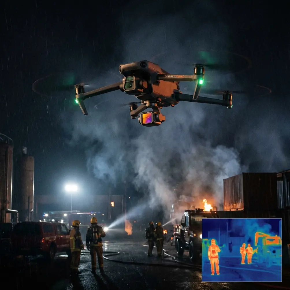
Neo 2 in the Vines: A Practical Flight Strategy for High
Neo 2 in the Vines: A Practical Flight Strategy for High-Altitude Vineyard Deliveries
META: A field-driven Neo 2 guide for high-altitude vineyard operations, covering obstacle avoidance, ActiveTrack, D-Log, Hyperlapse, and safer delivery planning in complex terrain.
High-altitude vineyards look romantic from the road. On foot, and especially on a workday, they are something else entirely. Rows run along steep contours. Access tracks narrow into loose gravel ribbons. Wind behaves differently from one terrace to the next. And when a crew needs a forgotten tool, a sample kit, or a lightweight payload moved from one block to another, “just drive it up” can turn into a 40-minute detour.
That is where a compact aircraft like the Neo 2 becomes more than a camera platform. In the right workflow, it becomes a fast-response logistics and visual verification tool for vineyards where elevation changes and terrain complexity shape every decision.
I’ve spent enough time around hill farms and image-led fieldwork to know that the challenge is rarely the obvious one. It is not simply about getting a drone into the air. It is about keeping a stable route over uneven land, retaining situational awareness when the slope falls away beneath the aircraft, and collecting footage or inspection views that actually help the team on the ground. For vineyard managers working at altitude, the Neo 2’s value sits in that overlap: mobility, intelligence, and enough imaging control to document what happened rather than guess.
The real problem in high-altitude vineyard delivery
Vineyard terrain creates three operational headaches at once.
First, altitude changes distort distance perception. A route that looks short on a map may involve a sharp vertical drop into a lower row before climbing back toward a service road. From the pilot’s perspective, that changes line of sight, battery planning, and return paths.
Second, the obstacles are irregular. Trellis lines are predictable, but posts, netting, support wires, small utility sheds, and trees at row ends create a cluttered low-altitude environment. Add gusty mountain air and a simple transfer flight becomes a precision task.
Third, vineyard work rarely happens in isolation. Workers move between rows. Utility vehicles appear unexpectedly. Wildlife is part of the operating environment, not a side note. On one dawn flight over a ridge-side block, I watched a roe deer break from scrub near the edge of a terrace just as the aircraft transitioned toward a lower lane. That mattered for two reasons: it shifted the pilot’s attention and confirmed why responsive obstacle sensing is not only about fixed objects. A drone that helps the operator maintain awareness during those moments reduces the chance of an impulsive correction into wires, branches, or trellis hardware.
In that setting, features like obstacle avoidance and ActiveTrack are not marketing vocabulary. They affect whether a short mission remains efficient or turns into a recovery exercise.
Why Neo 2 fits this use case
The Neo 2 makes sense in vineyards because it can serve two jobs during a single field session. It can move quickly between plots while also capturing clean visual data for assessment, documentation, and team coordination.
That matters more than it sounds.
If a crew asks for a small item to be delivered to an upper block, the flight itself is only half the operation. The other half is confirming where workers are, identifying a safe drop or handoff zone, and recording slope conditions, canopy spacing, and access constraints for future runs. A drone that can switch from transport-minded flying to stable imaging reduces the need for separate missions.
This is where subject tracking becomes operationally useful. If a supervisor on foot is moving toward a receiving point, ActiveTrack can help maintain visual continuity while the aircraft repositions, which is particularly helpful in vineyards where rows obscure people every few seconds. That continuity is not just convenient. It improves handoff timing and reduces hovering indecision in windy air.
QuickShots and Hyperlapse also have a practical role here, though not in the obvious “content creation” sense. A short automated orbit or pull-away over a terrace can produce a fast visual reference of row spacing, turn areas, and obstructions around a landing or transfer zone. A Hyperlapse sequence over changing light and wind patterns can help document how fog, shadow, and activity shift across a site during key work windows. In mountain vineyards, those changes are not cosmetic. They affect when it is safest to fly and which rows remain visible from the pilot’s position.
Obstacle avoidance is the difference between confidence and guesswork
In vineyards, obstacle avoidance earns its keep at low altitude.
Open farmland can forgive minor routing errors. Terrace vineyards do not. You are often operating near netting, edge vegetation, irrigation components, or support structures that appear benign until the aircraft drifts during a gust. The Neo 2’s obstacle awareness becomes especially valuable when traversing across rows instead of along them, because the visual geometry changes quickly and depth cues can flatten against repeating vine patterns.
Operationally, this means a pilot can focus more attention on the mission outcome and less on fighting spatial ambiguity. That is critical when delivering to an upper terrace where the safe approach corridor may be only a narrow gap between a line of cypress and the top row of vines.
The wildlife moment I mentioned earlier captures the point. When the roe deer moved, the temptation was to glance down and track its line through the brush. In a basic aircraft, that split-second distraction can be expensive. With a more sensor-aware platform, the pilot has a buffer against that human tendency. Not immunity, but margin. In real field operations, margin is everything.
ActiveTrack in vineyards is about continuity, not spectacle
A lot of drone coverage treats subject tracking like a filmmaking trick. In vineyards, it is better understood as continuity management.
Imagine a worker hiking up a steep block to receive irrigation parts or a small diagnostic kit. The path is broken by row intersections and changes in grade. Manual framing over that route can be clumsy, especially when the pilot is standing in a lower position with partial visibility. ActiveTrack helps keep the person located as the aircraft adjusts around terrain and obstructions.
That has a practical payoff. The pilot spends less time reacquiring the subject and more time monitoring airspace, wind behavior, and battery reserve. In a high-altitude site, those are the variables that deserve attention.
It also helps post-mission. If you are reviewing delivery runs to improve route design, a tracked subject gives you a cleaner record of where the handoff slowed down, where visibility dropped, and which route segment exposed the aircraft to unnecessary crosswind.
D-Log matters when light is harsh and the slope keeps changing
Mountain vineyards are contrast machines. Bright sky. Dark soil. Reflective leaves. Sudden shadow lines from ridges and trees. If you are documenting conditions during a delivery mission, especially for later review by managers or agronomy staff, flat, clipped footage can hide useful detail.
That is where D-Log becomes valuable.
A flatter capture profile preserves more flexibility in grading and review, which is not merely an editor’s preference. It can help you see surface texture on access lanes, distinguish canopy density across changing light, and compare conditions across terraces without the image falling apart in highlights or shadows. For photographers and field teams who need footage that can support decisions, that extra dynamic range is operationally useful.
Jessica Brown, the photographer’s perspective baked into this article, naturally gravitates toward image quality. But the vineyard case makes that preference practical. If you are already flying for a delivery-related task, it makes sense to collect footage that can double as evidence, planning material, or seasonal documentation. D-Log lets the Neo 2 pull more weight in that role.
QuickShots and Hyperlapse can improve planning when used deliberately
I would not build a vineyard delivery workflow around automated cinematic modes alone. That would be the wrong priority. But used with intent, they can add real value.
A QuickShot over a transfer point can create a compact site reference before work begins. You can review the shot and immediately spot row-end congestion, vehicle placement, and whether a safer approach vector exists from the leeward side.
Hyperlapse has a different use. In exposed vineyard zones, wind often rises or shifts predictably with sun angle. A short Hyperlapse captured over a recurring problem area can reveal how movement, shadow, and activity evolve over time. This is particularly useful if the team wants to establish a standard flight window for intra-vineyard runs.
Those tools are not substitutes for piloting skill. They are supplements for pattern recognition.
A workable Neo 2 mission plan for ridge-side vineyards
For high-altitude deliveries, simplicity wins. The best mission is the one that can be repeated with minimal improvisation.
Start with a visual recon pass. Identify fixed obstacles, likely worker positions, and at least one alternate return corridor. In vineyards, return routes matter because wind at the upper terrace may be completely different from wind near the access road.
Next, define a conservative low-risk path, even if it is not the shortest line. The straight route often crosses the messiest airspace. Following the contour a little longer may provide more stable airflow and cleaner visual separation from posts and wires.
Use obstacle avoidance as a backup, not an excuse to squeeze through poor geometry. Sensor assistance is strongest when it supports sound route planning, not when it is forced to rescue bad decisions.
If personnel are moving, use ActiveTrack selectively to preserve awareness of the receiving party. Keep the aircraft’s job narrow: maintain visual continuity, avoid cluttered transitions, and complete the handoff efficiently.
Then capture a brief documentation pass. This is where D-Log, QuickShots, or a short Hyperlapse can serve the broader operation. If the flight exposed a bottleneck, record it. If a terrace edge proved turbulent, record that too. Over a season, those clips become a practical operating library.
For teams coordinating remote field support, I’ve seen it help to keep a direct line open through a simple field messaging link like send the route update here, especially when a worker shifts to another block mid-mission and the receiving point needs to change quickly.
What vineyard operators should actually care about
Not every feature deserves equal attention.
For this use case, the priority stack is fairly clear.
Obstacle avoidance protects the mission in dense, low-altitude agricultural space. ActiveTrack helps keep people in view across interrupted terrain. D-Log improves the value of the footage you are already collecting under difficult light. QuickShots and Hyperlapse can support planning if they are used as documentation tools rather than novelty effects.
The bigger point is that the Neo 2 is most useful when treated as part of a field system, not an isolated gadget. In high-altitude vineyards, every flight is tied to terrain, labor movement, weather shifts, and visual uncertainty. A drone that reduces friction across all four categories earns a place in the workflow.
That is why this matters beyond one aircraft model. Vineyards perched on steep ground need tools that can see clearly, react quickly, and leave behind usable records. The Neo 2’s mix of obstacle awareness, subject tracking, and flexible capture modes aligns well with that reality when the operator builds disciplined habits around it.
And that discipline is what separates a smooth hilltop transfer from a wasted battery, a missed handoff, or a preventable collision with the kind of obstacle you only notice a second too late.
Ready for your own Neo 2? Contact our team for expert consultation.