Neo 2 for Remote Field Delivery Work: Why Training and GIS
Neo 2 for Remote Field Delivery Work: Why Training and GIS Discipline Matter More Than Flight Specs
META: A field-focused look at Neo 2 in remote delivery scenarios, connecting GIS workflows, 3S training, land-resource data systems, and practical operational planning.
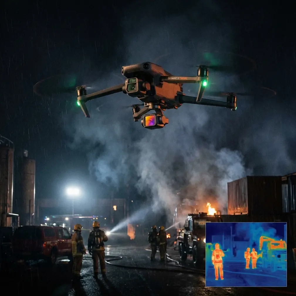
I’ve seen plenty of drone conversations go sideways because everyone rushes to airframe features first. Obstacle avoidance, subject tracking, QuickShots, Hyperlapse, D-Log, ActiveTrack—useful tools, yes. But when the mission involves delivering materials or survey support into remote field environments, those features only become valuable when they sit inside a disciplined land-information workflow.
That is where Neo 2 becomes more interesting.
The real story is not the aircraft alone. It is how a drone platform fits into GIS-led operations, how staff are trained to use spatial data correctly, and how field teams turn aerial collection into something managers can actually act on. The reference material behind this discussion makes that point clearly: GIS plays a major role in cadastral management, land-use planning, e-government, and mineral resource information through querying, statistics, and analysis. That matters because a remote field mission is rarely just “fly there and come back.” It is usually tied to land records, route suitability, changing terrain conditions, asset locations, and traceable decision-making.
The old field problem: flying blind between office data and ground reality
Years ago, one of the hardest parts of remote field support was not reaching the site. It was reconciling what the office believed with what the terrain actually looked like.
On paper, a route seemed workable. Parcel boundaries were clear enough. Access paths appeared open. A landing or drop zone looked obvious in static maps. Then the field team arrived and found erosion, temporary obstructions, new excavation, vegetation growth, or a route that had become impractical since the last update. The result was familiar: delays, duplicated travel, and poor coordination between survey personnel, planners, and field crews.
This is exactly why the source document emphasizes the value of dynamic spatial information. It notes that GIS platforms can provide both spatial and changing land-resource information in a timely way, helping managers accurately understand total resource conditions and development trends across different periods. That detail is operationally significant. “Different periods” means the work is not based on a one-time map. It depends on comparing changes over time.
For Neo 2 users working in remote delivery support, that means the aircraft should be treated as a current-data tool, not just a flying camera. Hyperlapse may help visualize road or terrain change over time. D-Log can preserve more grading latitude when documenting site conditions under difficult light. Obstacle avoidance is not just a convenience in an isolated location; it is part of safer route verification where terrain and structures may not match old records.
Why Neo 2 works best when paired with a 3S mindset
The reference material centers on “3S技术应用培训,” or 3S technology application training. In practical terms, that points to the integration of GIS, remote sensing, and related geospatial systems into real work. For anyone using Neo 2 in land-resource, mapping-adjacent, or field-support environments, this is the right frame.
A drone can gather imagery. That’s the easy part.
The harder part is building a workflow where imagery supports:
- land data processing,
- database construction,
- immovable property registration support,
- planning review,
- resource monitoring,
- and management decisions that hold up after the flight.
The document also highlights that GIS supports query, statistics, and analysis across land administration and resource domains. This is one of the most overlooked points in drone deployment. A flight only becomes institutionally useful when its outputs can be queried, compared, classified, and tied back to an information system. If a remote delivery team uses Neo 2 to inspect a field corridor, verify temporary access, or document delivery endpoints, that footage should not stay trapped in a media folder. It needs to be linked to a decision environment.
That is where trained staff outperform casual operators every time.
Training is not a side issue. It is the difference between footage and evidence
One concrete detail from the source stands out: the training program was created in response to the State Council document Guofa [2010] No. 36, with the principle “培训一人、就业一人;就业一人、培训一人,” and with the spirit that workers in skilled positions should receive at least one skills-upgrade training opportunity.
Why does that matter to a Neo 2 article?
Because remote field operations expose every weakness in undertrained teams. When the mission depends on land records, route legality, site documentation, or cross-department coordination, a drone pilot who only knows flight controls is not enough. Teams need people who understand geospatial interpretation, data handling, and what a manager or registry office actually needs from collected material.
The reference also states that qualifying trainees can receive a “3S技术应用(地理信息技术应用)” professional ability certificate after passing a theoretical assessment. The operational significance here is not the paper itself. It is the insistence on theory plus practice. In field delivery and survey-support scenarios, theory matters because flight execution must connect to classification standards, data consistency, and reporting logic.
Neo 2 can make field capture easier. It cannot correct a weak information chain.
A practical Neo 2 workflow for remote field delivery support
If I were structuring Neo 2 use around the needs implied by the source material, I would focus on five layers.
1. Pre-field spatial review
Before anyone leaves the office, use GIS to review parcel context, terrain constraints, access lines, administrative boundaries, and any known development changes. The source specifically frames GIS as essential for land planning and land-resource information analysis. That means pre-flight review should be analytical, not just visual.
Neo 2’s role begins here. If previous flights exist, compare them against current map layers and any registry-linked information. Identify what must be revalidated on-site.
2. Targeted flight capture, not generic coverage
In remote areas, battery time and transport windows matter. Don’t fly broad cinematic patterns just because QuickShots and ActiveTrack are available. Use them when they serve the task.
- Obstacle avoidance helps on constrained approach paths, especially near trees, cut slopes, temporary field equipment, or partially developed land.
- ActiveTrack or subject tracking can be useful when documenting moving field teams or vehicles along an access route to verify route viability, though this should stay tightly scoped to civilian operational documentation.
- D-Log is valuable when surface details matter, such as drainage lines, embankment edges, bare-earth distinctions, or signs of recent land disturbance.
- Hyperlapse can help communicate change progression to managers who need a quick understanding of how a corridor or work zone evolved over time.
These are not gimmicks when tied to a GIS workflow. They become reporting tools.
3. Immediate field validation
The source mentions that trainees are encouraged to bring real workplace problems and solve them during hands-on computer sessions, with instructors even providing self-developed tools. That detail reveals something useful: practical geospatial work is iterative. You should expect to validate assumptions in the field and then adjust.
With Neo 2, that means reviewing outputs on the same day whenever possible. If the imagery fails to show a boundary marker, route obstruction, slope issue, or handoff point clearly enough, refly while the team is still mobilized. Waiting until later often means a second trip into a remote area.
4. Structured data handoff
This is where many drone programs break.
The source is about land-resource data processing, database creation, and immovable property registration. So any Neo 2 imagery collected in support of field logistics or site verification should be named, indexed, georeferenced where appropriate, and linked to the correct case, parcel, route segment, or resource record. If managers cannot retrieve the right file and understand what it proves, the mission was only half done.
5. Multi-period comparison
Again, the source stresses understanding resource totals and development trends across different time periods. So don’t let Neo 2 be trapped in one-off missions. Build repeatable capture points and view directions. Consistency enables trend analysis, which is often more useful to decision-makers than a single attractive aerial pass.
Why expert-led instruction still matters in a camera-smart era
Another reference detail deserves attention: the instructors come from Chinese Academy of Sciences-related systems and the land-resource engineering field, with long-term experience applying 3S technologies in digital land construction. That matters because remote field operations sit at the junction of technology and domain knowledge.
A drone operator can learn menus quickly. What takes longer is understanding:
- which land features are decision-critical,
- how to capture evidence that supports planning or registration work,
- how to interpret changes responsibly,
- and how to communicate findings in terms that land managers can use.
The source also notes a class capacity limit of 50 participants. That small number implies a more controlled training environment, likely because effective geospatial instruction is difficult at scale if participants need practical support. For teams adopting Neo 2 in field delivery support, that lesson is worth carrying over: keep deployment groups small enough that standards can actually be enforced.
If you’re building a workflow and want to compare notes with someone who understands field realities, this is a useful place to start: message a drone workflow specialist.
Neo 2’s value is clearest when the mission is administrative as much as physical
Remote delivery sounds like a transport problem. Often it is really an information problem.
The package, sensor, document set, or spare part has to reach a field team, yes. But the mission usually sits inside a bigger process: site confirmation, route assessment, land-use review, project progress verification, or resource oversight. That is why the source document’s focus on informatized land-resource management is so relevant. It describes GIS as a technical support system for rational planning, development, utilization, and protection of resources, while also providing a basis for decision-making.
That last phrase—providing a basis for decisions—is the key.
Neo 2 is most useful when each flight contributes to a decision trail:
- Can the route be used safely this week?
- Has site access changed since the last report?
- Does the visible ground condition align with registry or planning expectations?
- Has a work area expanded, shifted, or created new obstructions?
- Can the manager compare this period to the last and act with confidence?
Those are not abstract GIS questions. They are the daily friction points that make remote field work either efficient or expensive.
What I’d tell any team considering Neo 2 for remote field operations
Don’t evaluate the platform in isolation.
Look at whether your organization can:
- define the information objective before each mission,
- capture repeatable visual evidence,
- connect outputs to GIS or land-data systems,
- train staff beyond basic piloting,
- and preserve a multi-period record that supports planning and registration tasks.
The reference material makes a strong case that modern land-resource management depends on timely spatial information, analytical capability, and skilled personnel. Neo 2 can fit that model very well, especially for dispersed field support where access is inconsistent and current visual confirmation matters. But the aircraft becomes truly valuable only when the workflow around it is mature.
That was the hard lesson in the old days: a flight could look successful and still fail the mission.
Today, with a better mix of obstacle avoidance, tracking tools, high-quality image capture, and stronger GIS integration, the gap between field reality and office decisions can be much smaller. The teams that benefit most will not be the ones chasing flashy footage. They will be the ones treating Neo 2 as a disciplined input to land information management, staff training, and repeatable field operations.
Ready for your own Neo 2? Contact our team for expert consultation.