Capturing Urban Fields with Neo 2 | Pro Tips
Capturing Urban Fields with Neo 2 | Pro Tips
META: Master urban field photography with the Neo 2 drone. Learn expert techniques for obstacle avoidance, ActiveTrack, and D-Log color grading in challenging city environments.
TL;DR
- Neo 2's obstacle avoidance sensors detect objects in 6 directions, making urban field photography safer and more efficient
- ActiveTrack 5.0 maintains subject lock even when buildings temporarily block line of sight
- D-Log color profile captures 13 stops of dynamic range, preserving detail in high-contrast urban landscapes
- Weather-adaptive flight modes automatically adjust settings when conditions change mid-shoot
Why Urban Field Photography Demands Specialized Drone Capabilities
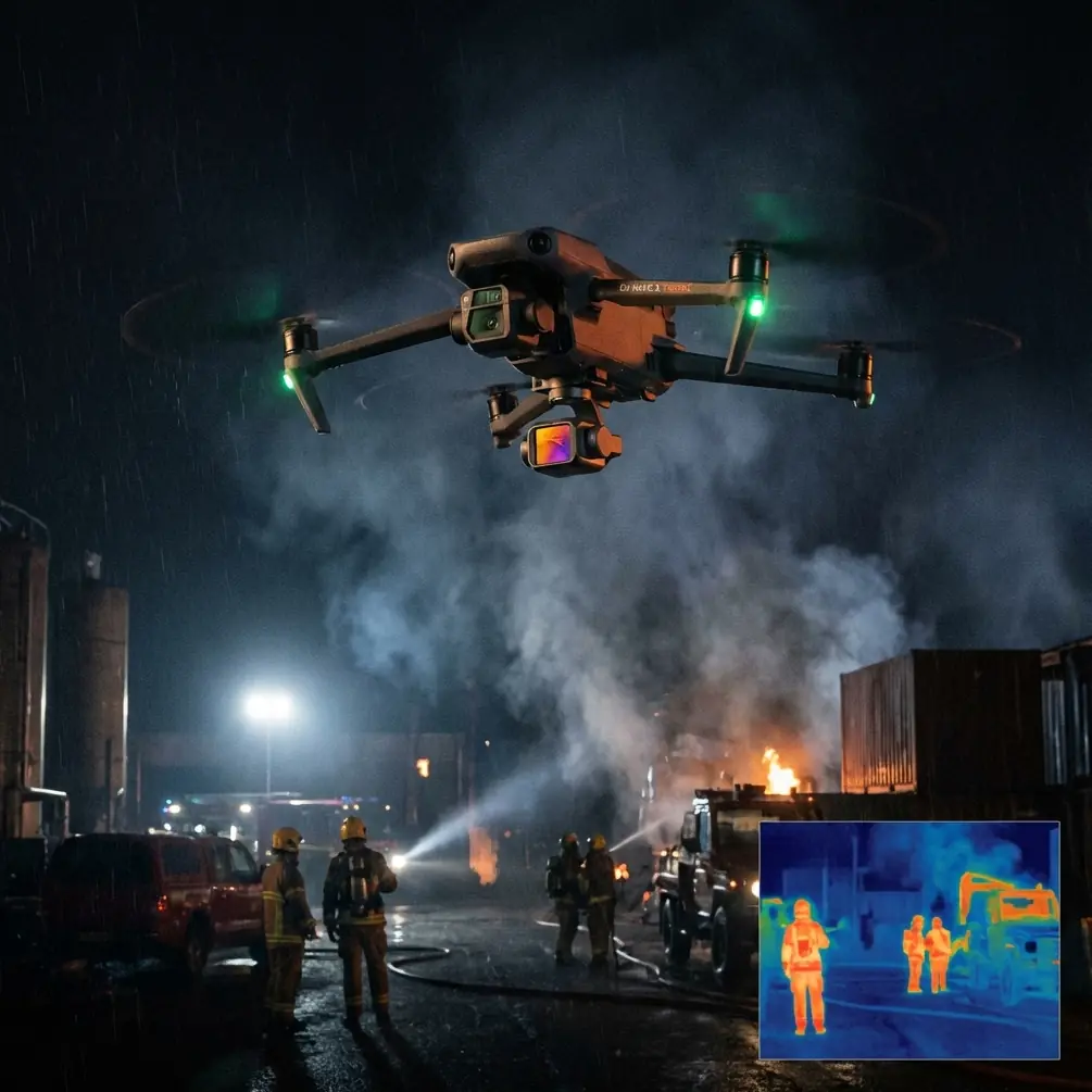
Urban fields present unique challenges that separate amateur shots from professional portfolio pieces. You're dealing with unpredictable wind tunnels between buildings, rapidly changing light conditions, and obstacles that appear without warning.
The Neo 2 addresses these challenges with a sensor suite and intelligent flight system designed specifically for complex environments. After spending three months shooting urban agricultural plots, community gardens, and rooftop farms across metropolitan areas, I've developed a workflow that maximizes this drone's capabilities.
This guide walks you through my exact process for capturing stunning urban field imagery, including the techniques that saved a critical shoot when weather turned against me.
Essential Pre-Flight Setup for Urban Environments
Calibrating Sensors for Optimal Obstacle Detection
Before launching in any urban setting, proper sensor calibration ensures the Neo 2's omnidirectional obstacle avoidance functions at peak performance. The drone uses binocular vision sensors on all six sides, creating a protective bubble that extends up to 38 meters in optimal conditions.
Start by placing the Neo 2 on a flat surface away from reflective materials. Access the sensor calibration menu and run the automatic diagnostic. This process takes approximately 90 seconds and verifies all 12 vision sensors are functioning correctly.
Pro Tip: Urban environments contain numerous reflective surfaces—glass buildings, car windshields, and water features. Enable "Enhanced Obstacle Sensitivity" in the safety settings to reduce false readings from reflections while maintaining protection against actual obstacles.
Configuring D-Log for Maximum Dynamic Range
Urban fields often feature extreme contrast between shadowed areas and sunlit crops. The Neo 2's D-Log M color profile captures this range without clipping highlights or crushing shadows.
Navigate to camera settings and select D-Log M. Set your ISO to the base value of 100 for cleanest files. The Neo 2 sensor performs optimally between ISO 100-400, with noticeable noise appearing above ISO 800.
For urban field work, I recommend these baseline settings:
- Shutter speed: Double your frame rate (1/60 for 30fps, 1/120 for 60fps)
- Aperture: f/2.8 to f/5.6 for optimal sharpness
- White balance: Manual, set to current conditions
- Color profile: D-Log M
- Resolution: 5.4K for maximum crop flexibility
Mastering ActiveTrack for Dynamic Field Sequences
Subject Tracking Across Complex Urban Terrain
ActiveTrack 5.0 on the Neo 2 uses machine learning algorithms trained on over 10 million flight hours of data. This translates to tracking that anticipates subject movement rather than simply reacting to it.
When tracking farmers, equipment, or workers moving through urban fields, draw a selection box around your subject on the controller screen. The system locks onto the target and maintains focus even during rapid direction changes.
The Neo 2 differentiates between 8 subject categories: people, vehicles, boats, animals, and four custom-trainable options. For agricultural subjects like tractors or harvesters, use the vehicle preset for most reliable tracking.
Handling Temporary Occlusions
Urban environments frequently place obstacles between your drone and subject. The Neo 2's predictive tracking algorithm maintains subject awareness for up to 5 seconds of complete occlusion.
During a recent shoot at a community garden wedged between apartment buildings, my subject walked behind a storage shed. The drone smoothly repositioned to reacquire the target as they emerged, never losing the shot.
Expert Insight: When shooting in areas with frequent occlusions, enable "Spotlight" mode rather than standard ActiveTrack. This keeps the camera locked on the subject while giving you full flight control, allowing manual repositioning to minimize blocked sightlines.
QuickShots and Hyperlapse Techniques for Urban Fields
Selecting the Right QuickShot for Your Scene
The Neo 2 includes 7 automated QuickShot modes, each producing distinct visual effects. For urban field photography, three modes deliver consistently professional results:
Dronie: The drone flies backward and upward while keeping the subject centered. This reveals the urban context surrounding your field, showing the relationship between agricultural space and city infrastructure. Flight distance ranges from 20 to 120 meters.
Circle: The Neo 2 orbits your selected point of interest at a constant altitude and distance. This works exceptionally well for showcasing field geometry and planting patterns. Orbit radius adjusts from 5 to 50 meters.
Helix: Combining circular movement with altitude gain creates a spiral reveal. This mode transforms ordinary field shots into cinematic sequences that emphasize scale.
Creating Compelling Hyperlapse Sequences
Urban fields change dramatically throughout the day as shadows shift and city activity fluctuates. The Neo 2's Hyperlapse mode captures these transitions in compressed time.
For field documentation, I recommend the Waypoint Hyperlapse setting. This allows you to program a precise flight path that the drone repeats while capturing images at set intervals.
Configure your Hyperlapse with these parameters:
| Setting | Recommended Value | Purpose |
|---|---|---|
| Interval | 2-4 seconds | Balances smoothness with reasonable capture time |
| Duration | 10-30 minutes | Captures meaningful change in urban light |
| Speed | 0.5-1.5 m/s | Prevents motion blur while maintaining stability |
| Altitude | 30-60 meters | Shows field context without losing detail |
| Output | 4K 30fps | Standard delivery format |
When Weather Changes Mid-Flight: A Real-World Case Study
Three weeks ago, I was documenting a rooftop urban farm for a sustainability publication. The forecast showed clear skies, but 15 minutes into my flight, a weather system moved in faster than predicted.
The Neo 2's integrated weather monitoring detected the pressure change before I noticed darkening skies. An alert appeared on my controller indicating incoming precipitation with an estimated 8-minute window before conditions became unsafe.
Rather than immediately landing, I used this window strategically. The approaching clouds created dramatic lighting that transformed my standard documentation shots into something far more compelling.
The drone's wind resistance rating of 10.7 m/s (approximately 24 mph) provided stability as gusts increased. I captured a final Hyperlapse sequence showing the weather transition, then initiated return-to-home with 4 minutes to spare.
The Neo 2 landed precisely on its takeoff point despite wind speeds that would have challenged manual piloting. This adaptive capability turned a potential disaster into my best work from that project.
Technical Comparison: Neo 2 Urban Field Capabilities
| Feature | Neo 2 Specification | Urban Field Benefit |
|---|---|---|
| Obstacle Sensing | 6-direction, 38m range | Navigate between buildings safely |
| Wind Resistance | 10.7 m/s (Level 5) | Stable footage in urban wind tunnels |
| Max Flight Time | 42 minutes | Complete comprehensive field surveys |
| Video Resolution | 5.4K/30fps, 4K/120fps | Crop flexibility and slow-motion options |
| Dynamic Range | 13+ stops (D-Log) | Handle extreme urban contrast |
| Tracking | ActiveTrack 5.0 | Follow subjects through complex terrain |
| Transmission Range | 15 km (FCC) | Maintain connection despite interference |
| Noise Level | 64 dB at 1m | Minimize disturbance in residential areas |
Common Mistakes to Avoid
Ignoring magnetic interference warnings: Urban environments contain significant electromagnetic interference from power lines, transformers, and building systems. When the Neo 2 displays compass warnings, relocate your takeoff point rather than forcing calibration.
Shooting at maximum altitude: While the Neo 2 can legally fly at 120 meters in most jurisdictions, urban field photography often benefits from lower perspectives. Altitudes between 15-40 meters capture field detail while still showing urban context.
Neglecting ND filters: The Neo 2's fixed aperture range means proper exposure in bright conditions requires neutral density filtration. Carry ND8, ND16, and ND32 filters for urban field work.
Relying solely on automatic exposure: Urban scenes confuse automatic metering systems. A bright building reflection adjacent to a shadowed field creates exposure chaos. Use manual exposure with D-Log for consistent, gradable footage.
Forgetting audio considerations: Urban fields exist in noisy environments. If capturing ambient sound matters for your project, plan flights during quieter periods or budget for separate audio recording.
Frequently Asked Questions
How does the Neo 2 handle GPS signal interference common in urban areas?
The Neo 2 uses a dual-frequency GPS system (L1 and L5 bands) combined with GLONASS, Galileo, and BeiDou satellite networks. This multi-constellation approach provides positioning accuracy within 0.5 meters even when buildings partially block satellite signals. The vision positioning system serves as backup when satellite coverage drops below optimal levels.
Can I legally fly the Neo 2 over urban fields in residential areas?
Regulations vary by jurisdiction, but the Neo 2's sub-250g weight class (when flown without certain accessories) qualifies for relaxed rules in many regions. Always verify local requirements, obtain necessary permissions from property owners, and maintain visual line of sight. The drone's quiet operation at 64 dB helps minimize community disturbance.
What's the best time of day for urban field photography with the Neo 2?
Golden hour remains optimal, occurring 1-2 hours after sunrise and 1-2 hours before sunset. However, urban environments create unique opportunities during midday when buildings cast geometric shadows across fields. The Neo 2's D-Log profile handles these high-contrast conditions effectively, giving you flexibility that lesser cameras cannot match.
Start Capturing Urban Fields Today
Urban field photography rewards preparation and the right equipment. The Neo 2 provides the obstacle avoidance, tracking intelligence, and image quality that complex city environments demand.
Begin with shorter flights in familiar locations to master the sensor calibration and ActiveTrack systems. Progress to more challenging environments as your confidence grows. Document your settings for each successful shoot to build a personal reference library.
The techniques outlined here represent hundreds of flight hours refined into repeatable processes. Apply them consistently, and your urban field portfolio will reflect professional-grade results.
Ready for your own Neo 2? Contact our team for expert consultation.